


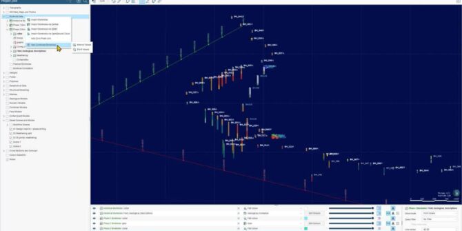
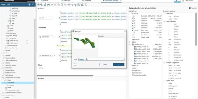
Explore Combined Borehole Sets with OpenGround Cloud and Calculations in Leapfrog Works 2021.2
Upgrade your workflows with new features available, including: - Combined borehole sets - Import from OpenGround Cloud and Calculations Aaron Hollingsworth, Customer Success Specialist at
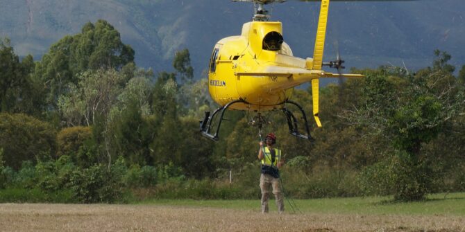
Mapping Denmark’s groundwater from the sky
Denmark’s groundwater is so clean, you can almost drink it straight out of the ground. To protect it, the government launched an ambitious project to
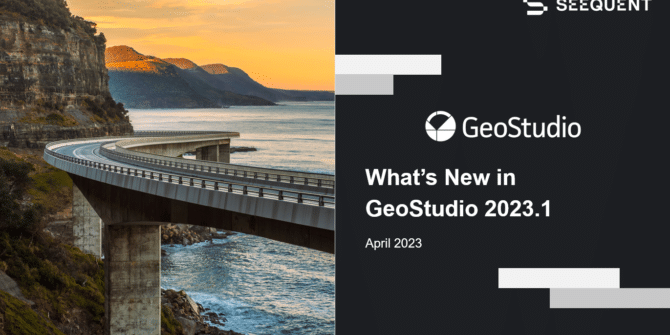
GeoStudio 2023.1 – What’s new
GeoStudio users: your latest upgrade is here! This release includes the newest product in the GeoStudio portfolio, SLOPE3D, empowering you to conduct enhanced 3D slope
A new level of workflow control with the Gravity & Terrain Correction Extension in Oasis montaj 2021.2
Improvements to the Gravity & Terrain Correction Extension allow for a more intuitive user interface that brings a new level of control to your workflow.
Mineral Resource Category Definition and Calculation in Leapfrog Edge
This video is for new and existing users of Leapfrog Geo and Edge who are looking at defining Mineral Resource Categories in Leapfrog. For the
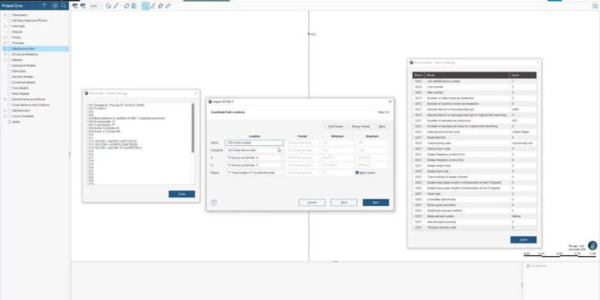
Explore 2D, 3D and SEGY Data Import with Leapfrog Energy 2021.2
In the latest version of Leapfrog Energy, 2021.2, we're doubling down on interoperability and updated 2D, 3D and SEG-Y data import capabilities. In this video,
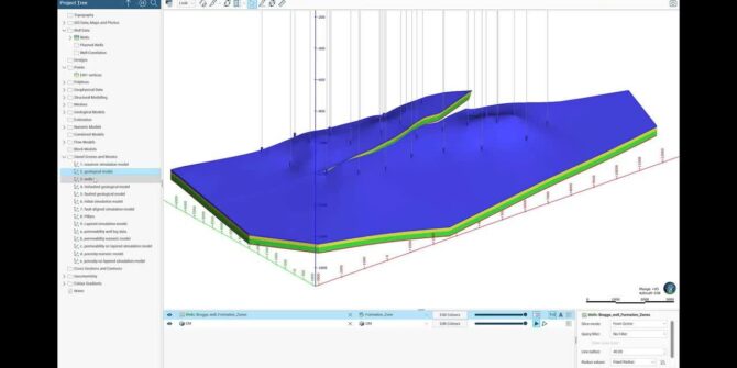
See PETREL™ well deviation data import, and learn how to create a reservoir simulation model and export in ECLIPSE™ or CMG™ format.
We are excited to announce that in our latest release of Leapfrog, it supports the creation and population of both ECLIPSE™ and CMG™ reservoir simulation
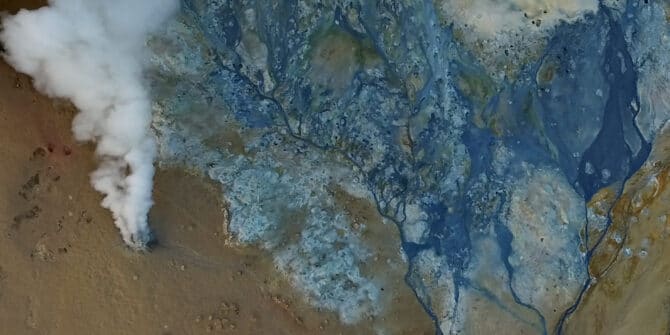
How one university uses Oasis montaj to find geothermal energy for Africa
Calistus Ramotoroko explores geothermal potential deep beneath the Kasane hot springs in Botswana, Africa. Geothermal exploration is on the rise in Africa as the continent