search

Water resources management: Smart workflows, deep insights

Connected, interoperable software for dynamic analysis of complex water resources

Talk to us

Protect communities, ecosystems and industry through reliable management of complex water systems

To succeed with ambitious engineering projects, protect valuable water assets, ensure water security for communities, and safely manage critical resources, geoscience and engineering teams need an in-depth understanding of surface and groundwater interactions.

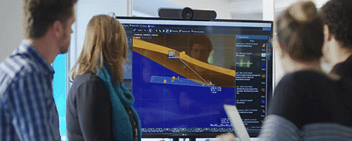
But it is difficult to interpret and communicate complex conditions without a common understanding across, teams and disciplines.

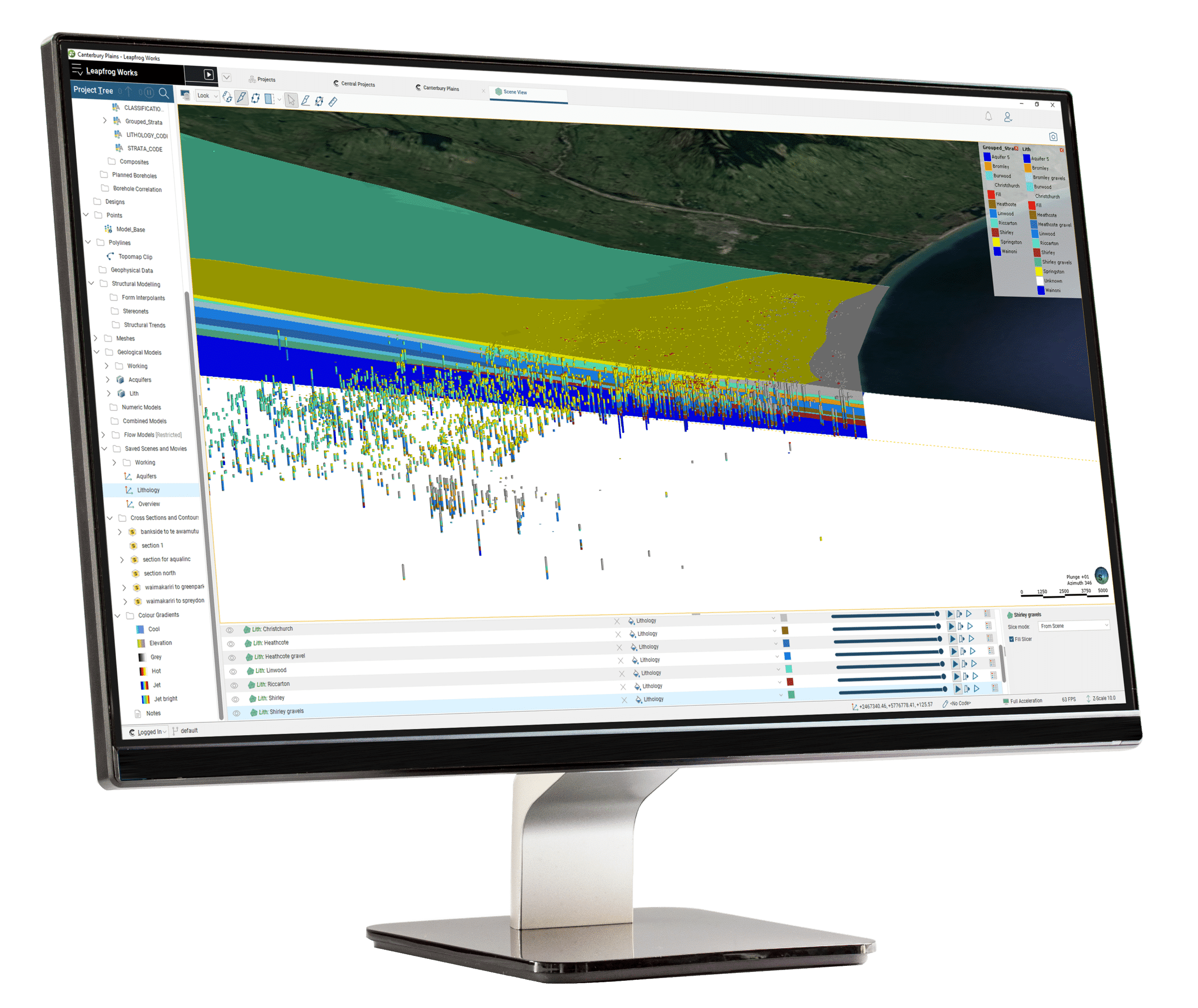
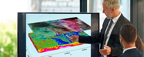
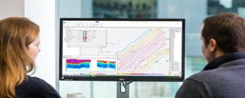
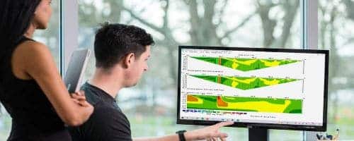
Now you can easily create that shared understanding with solutions that integrate data feeds and generate updated models for visualisation and analysis.

Support the big picture with the right tools

It is a huge responsibility to ensure that water management practices protect the communities and ecosystems that intersect with a project. To do this effectively, you need to have workflows and dataflows that are controlled and reliable. We can provide the tools, so you can draw insights from every drop of data.

Central Staged Approval Process

Combine data sources for a comprehensive view

Connect all data, historical and dynamic, hydrogeological and engineering, in one single source of truth that is centrally managed and accessible to teams, managers, and auditors. Add interoperable functions to speed up analysis, share interactive 3D visual models for communicating with stakeholders, and collaborating effectively to make better decisions.

Data plus workflows equals project success

Data is behind all project decisions and is an integral factor in regulatory reviews, standards compliance and due diligence. But workflows are the driver of collaboration and cooperation between teams and across disciplines. Design integrated workflows that support seamless data sharing and communication to unite teams for project success.

“WRD has enhanced support for its robust network of groundwater monitoring wells by offering real-time data from Seequent Central and visual data from Leapfrog Works to geologists in the field, state and national regulators, and stakeholders assisting with contamination sites. Also, being able to show our data in visually engaging ways creates trust and awareness when communicating with the general public.”

Brian PartingtonManager of Hydrogeology, WRD

Ask about tools for Water Resources Management

Talk to us about your project

Seequent's Water Resource Management software

Oasis montaj & Workbench Airborne TEM ModuleGeophysical, Geochemical and Spatial Data Processing and AnalysisSeequent CentralCloud-Hosted Data Management Platform3rd Party AppsOther Data and Applications for WorkflowLeapfrogGeological Modelling and Geostatistical ExtensionsWater UsersOwnership & responsibilityResource Management TeamGeoscientific data analysis & decisionsConsultants, Resource ManagerTechnical sign off & due diligenceInvestors, Communities & OthersDue diligence, transparency, openness, communicationLeapfrog Hydrogeology Extension     Hydrogeological ModelRegulatory OversightIndependent reviewDECISIONS DATA DIGITAL TWIN COMMUNICATION / COLLABORATION ANALYSIS

Stories about water: Successes, challenges and risks.

Mississippi-groundwater-map

Mollusks, levies, and earthquakes: A map of Mississippi’s aquifers answers unexpected questions

One of the largest groundwater surveys in the USA is also answering unexpected questions about ...
Denmark geophysics groundwater helicopter

Mapping Denmark’s groundwater from the sky

Denmark’s groundwater is so clean, you can almost drink it straight out of the ground ...
Connecting to water above and below: Using Leapfrog Works to communicate complex surface and groundwater interactions

Connecting to water above and below: Using Leapfrog Works to communicate complex surface and groundwater interactions

Water purveyors are responsible for ensuring that water management practices protect the communities and ecosystems ...
3D modelling helps district in Nebraska get a better handle on water quality

3D modelling helps district in Nebraska get a better handle on water quality

A district in Nebraska is using 3D models generated from airborne electromagnetic (AEM) survey results ...
Unearthed: Water security

Unearthed: Water security

Water security is a topic that has increasingly concerned academia, government and NGOs in recent ...

Seequent software for water management includes:

Seequent Central

Manage, track, and collaborate on geoscience data in a single, accessible environment.

Learn more

Leapfrog Works

Communicate insights with dynamic 3D modelling designed for civil & environmental projects.

Learn more

Leapfrog Contaminants extension

Accessible, best practise plume modelling for geoscientists and stakeholders within Leapfrog Works.

Learn more

Oasis montaj

Visualise, analyse, and integrate all your geoscience data in interactive 2D and 3D models.

Learn more

Res2DInv and Res3DInv

See results fast – easily process and invert your Resistivity and Induced Polarization data in two clicks.

Learn more

AGS SPIA

TEM and DC/IPVES data processing and inversion.

Learn more

Workbench

Tailor and refine every step of your EM, ERT, or IP workflow from raw data to final geophysical models, and present results confidently.

Learn more

Ask about tools for Water Resources Management

Talk to us about your project