Interpret offshore magnetic data with confidence

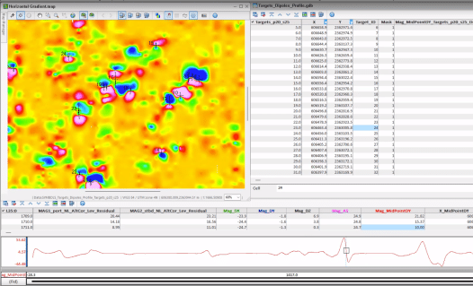
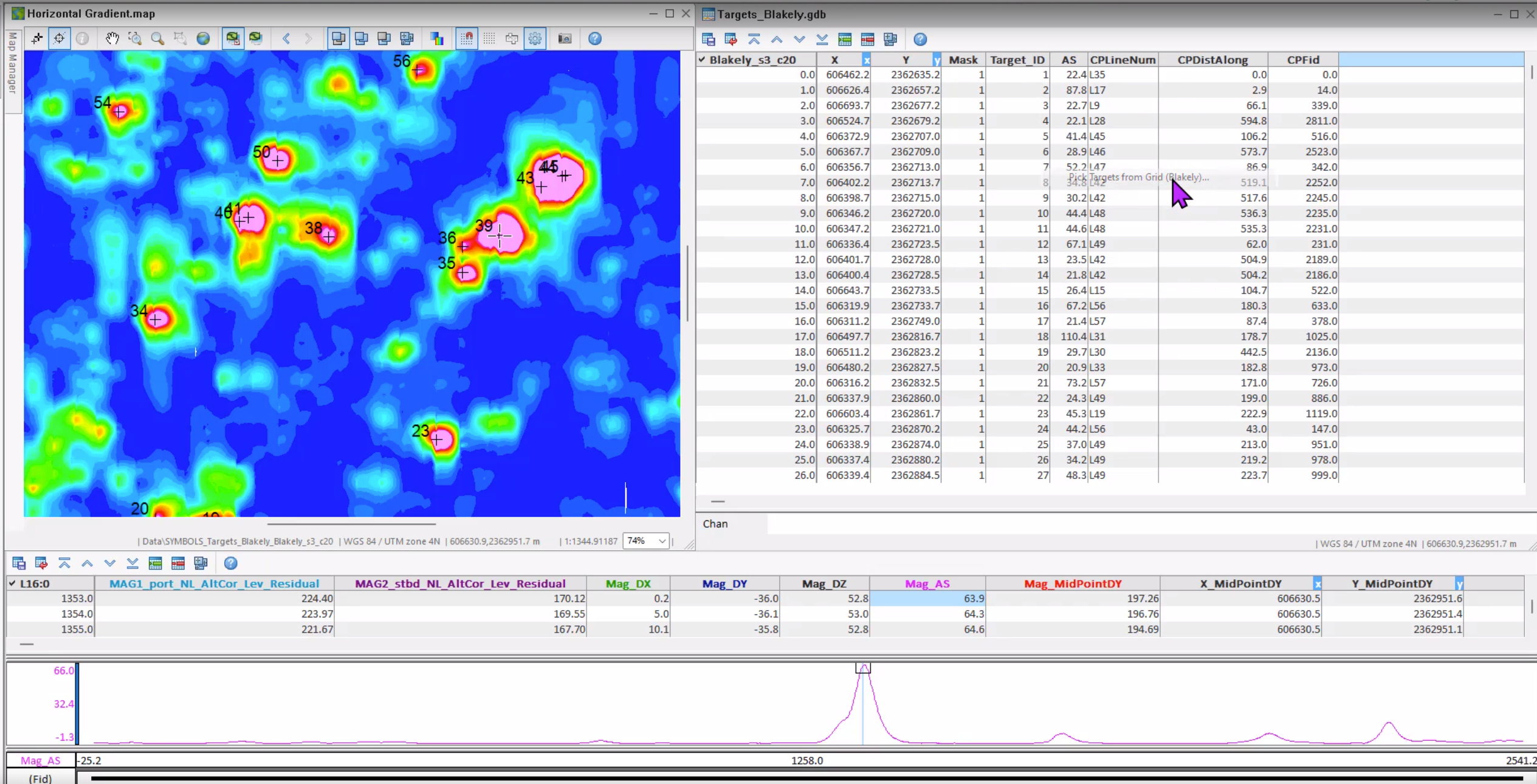
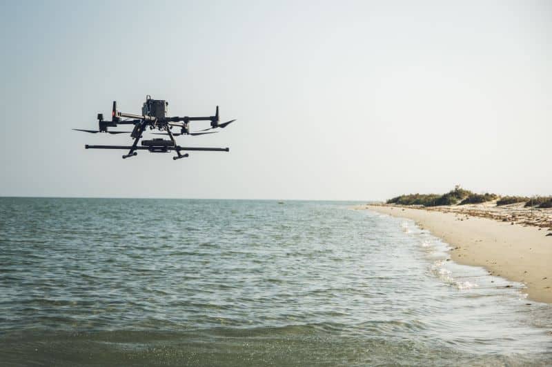
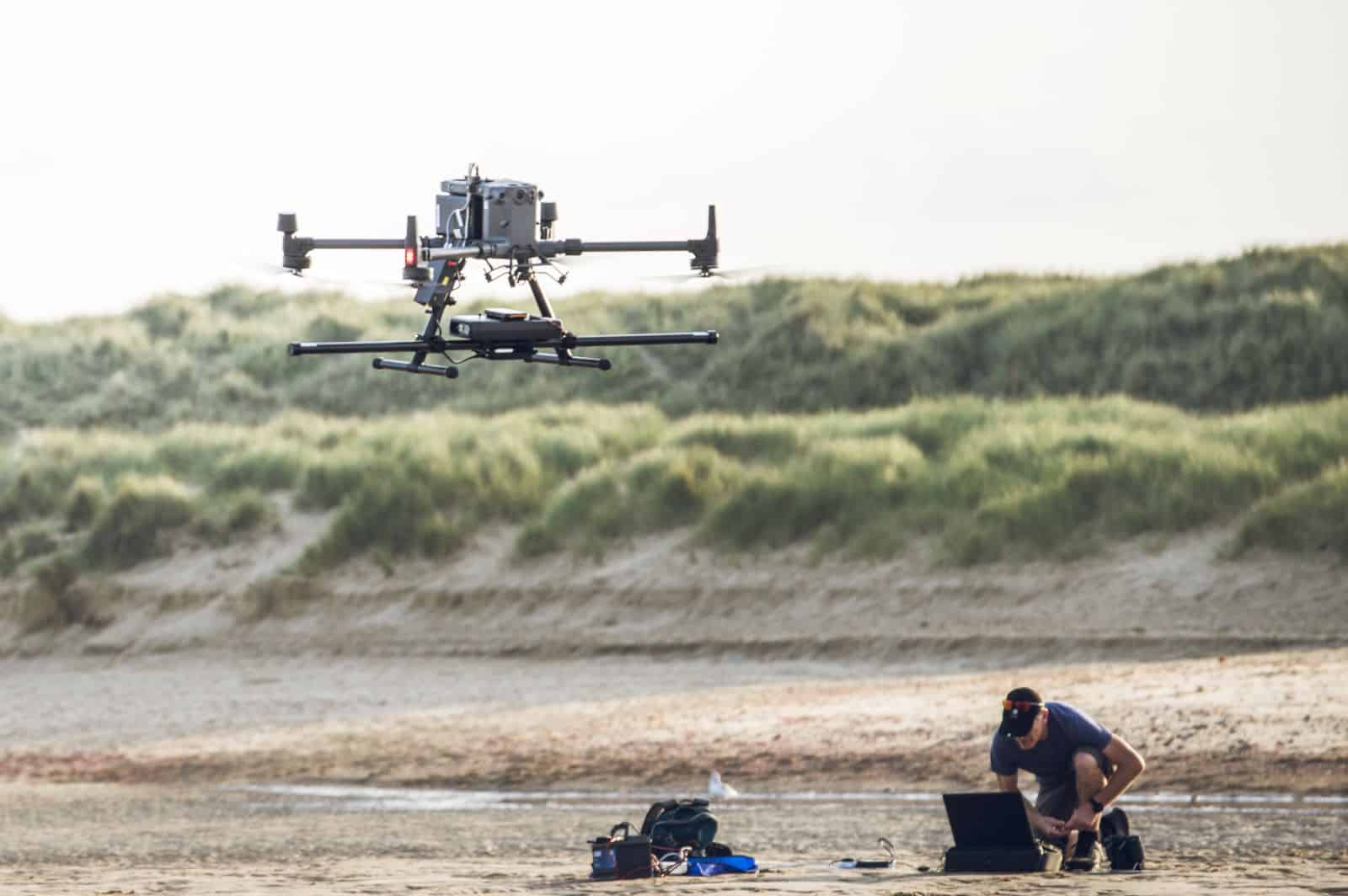
UXO Marine is an Oasis montaj extension for offshore geophysical surveys. It helps detect unexploded ordnance (UXO) and other man-made objects by managing magnetometer and gradiometer data, and visualising side-scan sonar to link seabed features with magnetic anomalies.
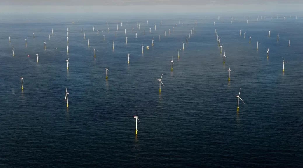
Designed for use at sea, it provides workflows that combine advanced processing tools with built-in quality control. UXO Marine supports geophysicists, survey teams and project managers working on wind farm risk assessments and other projects where reliable interpretation is critical.