
”It also means that simple bits of automation are being handled in the background, along with Wi-Fi, GPS, and timestamping. You can deploy any instrument wherever you want and know your data will be retrievable.
Matt GuySenior Geophysicist, Geomatrix Earth Science Ltd.
NOW: everything onboard
The miniaturisation of electronic components has always been the driving force behind instrumentation development. Improvements in power consumption, processor speed, memory, communications, and complimentary devices like GNSS and IMUs define what is possible.
Many geophysical sensors are now digitally controlled, meaning the sensor’s performance can be improved with iterative firmware improvements. There will always be a limit to how far these improvements can be taken, but it offers the ability for sensors to meet unforeseen applications.
Increased processing power on board the instrument and additional third-party sensors like GNSS modules for accurate PPS data time stamping and IMUs open new avenues for real-time corrections, which will be required for future AI data analyses. It also means that simple automation – updating, for example – is built in and being handled in the background, along with Wi-Fi, GPS, and timestamping. You can deploy any instrument wherever you want and know your data will be retrievable. So, if you’ve got the timestamp wrong, trying to stitch that together with some other information will not be a problem anymore because it’s all automated.
The instrument user interface is being moved away from external data acquisition software packages and integrated into the instrument, accessed through a wired or wireless network. This is familiar territory for customers who have been very familiar with network interfaces for many years, but it is a step change for the industry.
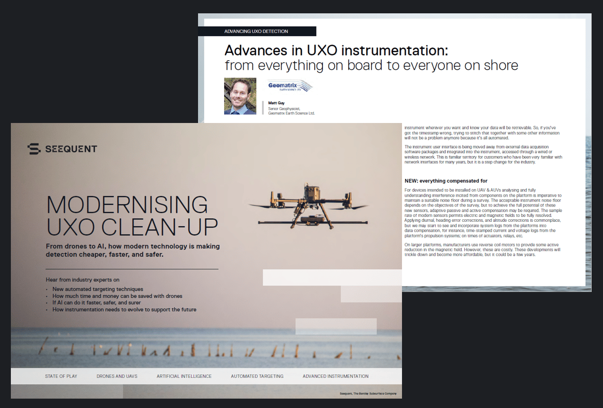
For the full version of this feature, download our free eBook “Modernising UXO clean-up” and hear from other industry leaders how modern technology like drones and AI are making UXO detection cheaper, faster, and safer.