


Leapfrog Geo
Build well-informed and dynamically updatable geological models in a fraction of the time. Bypass time-consuming wireframing and rapidly generate, visualise, and maintain 3D implicit models that maxim...

Leapfrog Works
Build categorical and numerical models from site investigation and boring data in a fraction of the time.
Leapfrog Energy
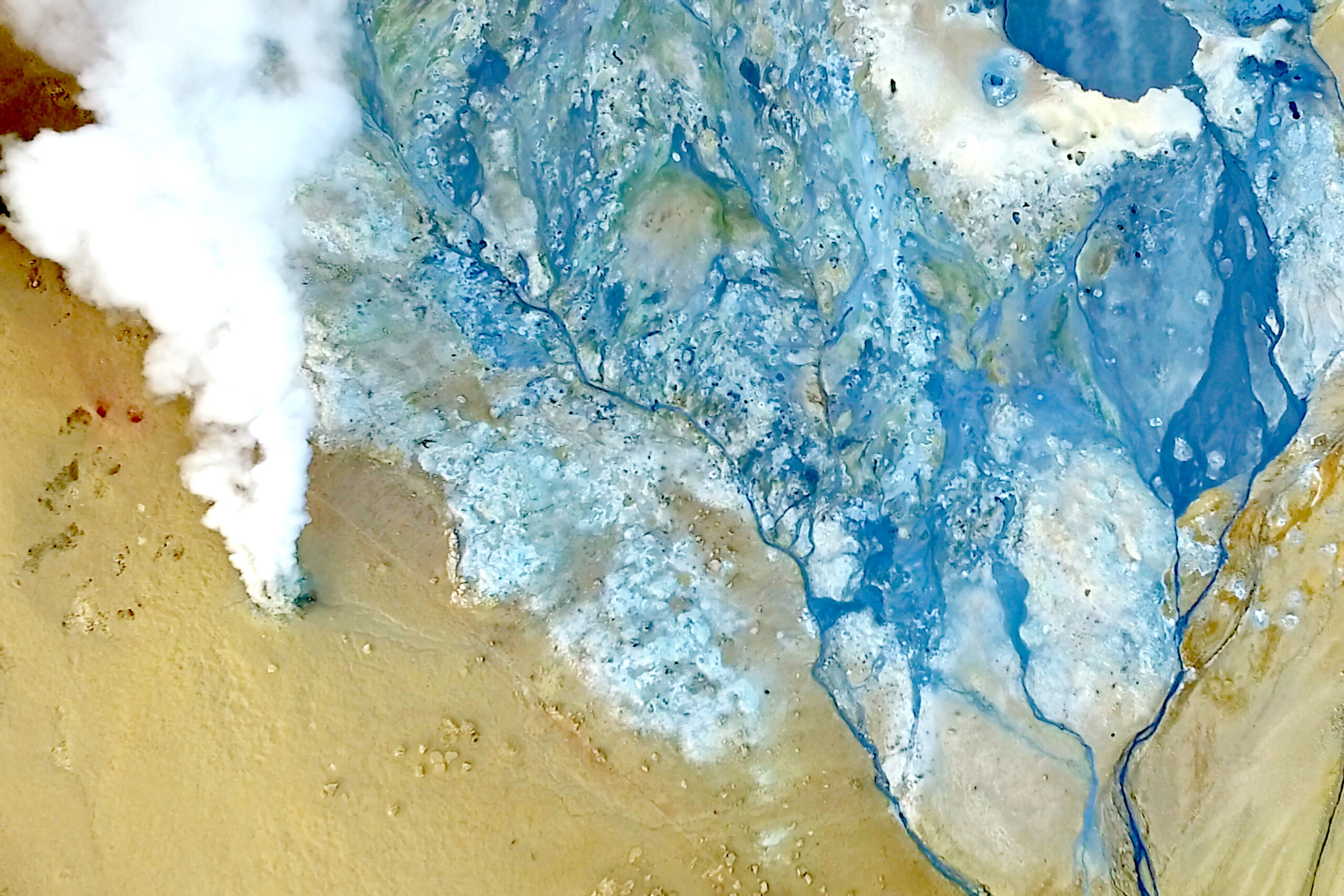
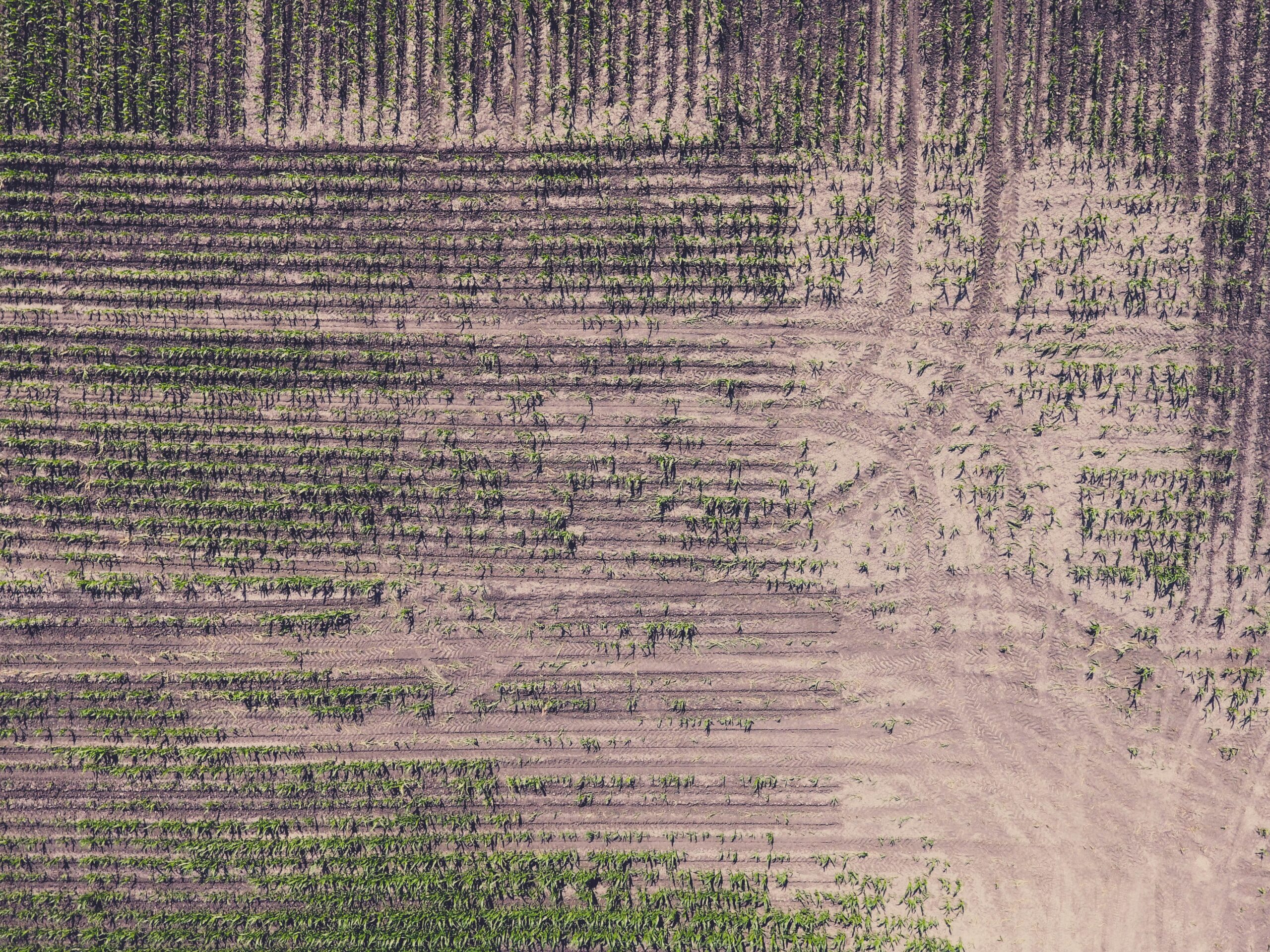
Use Leapfrog’s workflow-based 3D modelling capabilities for a variety of energy projects, such as identifying energy resources, assessing ground conditions for offshore wind, and evaluating sites fo...
Leapfrog Edge
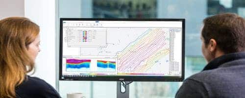
Leapfrog Edge puts the power of geostatistical modelling directly in users' hands, transforming resource estimation into an intuitive, visual, and seamlessly connected workflow.

Seequent Evo
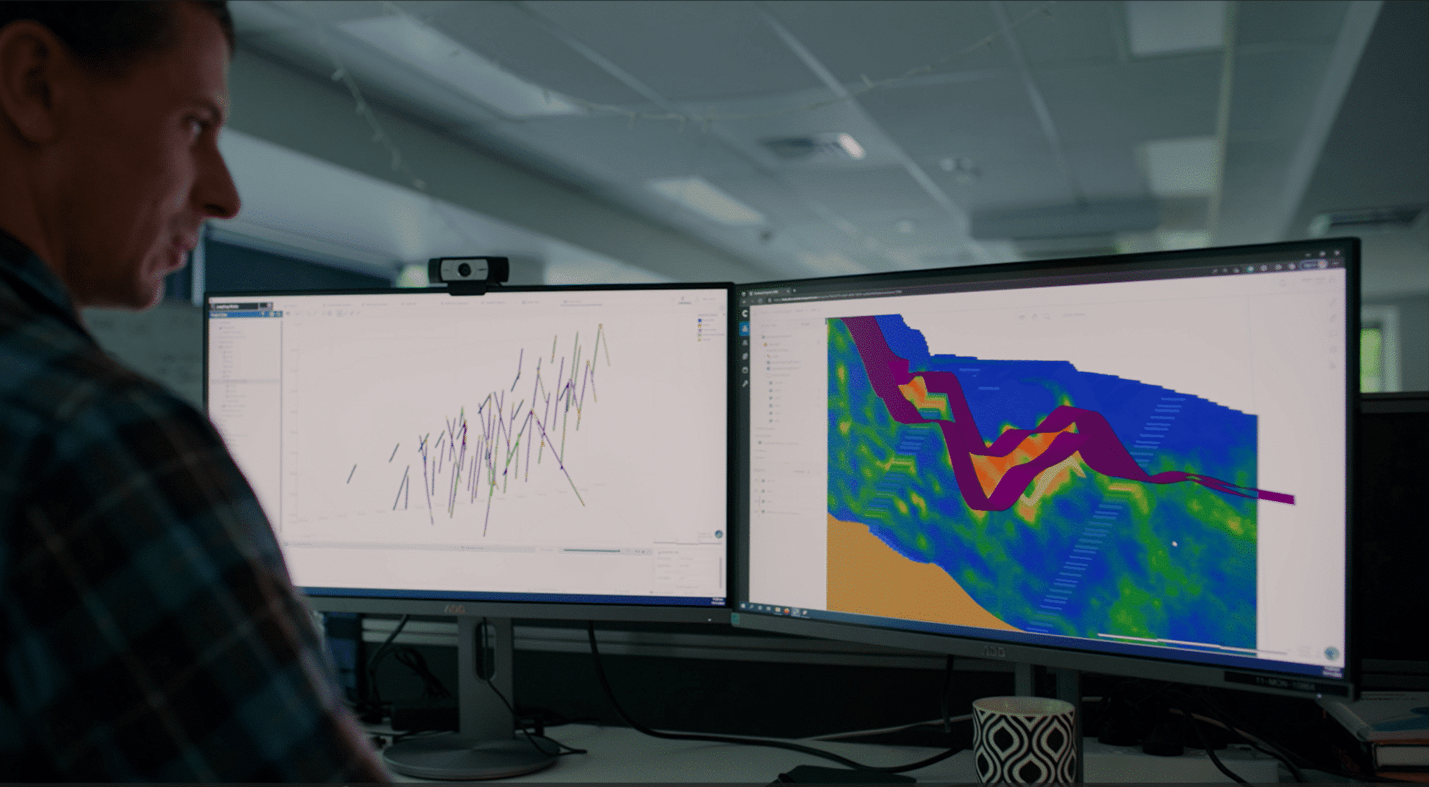
Seequent Evo is a geoscience data and compute platform that enables integrated workflows and collaboration across Seequent and third-party products.
BlockSync
BlockSync is a native Seequent Evo application and offers an open, auditable system of record where teams can collaborate on block model data from any source.

Driver
Driver is a cloud-based rapid analysis tool that supports spatial exploratory data analysis of drilling datasets.

GeoStudio 2D
GeoStudio 2D is an integrated software suite for modelling slope stability, groundwater flow, ground deformation, and more in soil and rock.
- Learn more
-
Buy now

Proceed to cart
Seequent products can be purchased securely through Bentley's eStore. Seequent is the Bentley subsurface company.
Prices shown on Bentley's eStore will be displayed in your local currency excluding tax.
GeoStudio 3D
GeoStudio 3D is an award-winning integrated software suite for modelling 3D slope stability and groundwater flow in soil and rock.
- Learn more
-
Buy now
Proceed to cart
Seequent products can be purchased securely through Bentley's eStore. Seequent is the Bentley subsurface company.
Prices shown on Bentley's eStore will be displayed in your local currency excluding tax.

GeoStudio Flow
GeoStudio Flow is a multi-physics finite element software for modelling environmental protection, groundwater flow, climate, and ground freezing problems.
- Learn more
-
Buy now
Proceed to cart
Seequent products can be purchased securely through Bentley's eStore. Seequent is the Bentley subsurface company.
Prices shown on Bentley's eStore will be displayed in your local currency excluding tax.

PLAXIS 2D
PLAXIS 2D is the industry standard for geotechnical 2D finite element analysis of deformation and stability in soil and rock - powerful, trusted, awarded and user-friendly.
- Learn more
-
Buy now
Proceed to cart
Seequent products can be purchased securely through Bentley's eStore. Seequent is the Bentley subsurface company.
Prices shown on Bentley's eStore will be displayed in your local currency excluding tax.

PLAXIS 3D
PLAXIS 3D is the industry standard for geotechnical 3D finite element analysis of deformation and stability in soil and rock - powerful, trusted, awarded and user-friendly.
- Learn more
-
Buy now
Proceed to cart
Seequent products can be purchased securely through Bentley's eStore. Seequent is the Bentley subsurface company.
Prices shown on Bentley's eStore will be displayed in your local currency excluding tax.

PLAXIS Monopile Designer
PLAXIS Monopile Designer offers a design method to reduce steel quantity in monopile foundations and costs of wind farming.
- Learn more
-
Buy now
Proceed to cart
Seequent products can be purchased securely through Bentley's eStore. Seequent is the Bentley subsurface company.
Prices shown on Bentley's eStore will be displayed in your local currency excluding tax.

Oasis montaj
Oasis montaj is desktop software for geoscientists working with magnetic, gravity, electromagnetic, resistivity, and radiometric data. It supports the full geophysical workflow in a single project env...
Oasis montaj UXO Land
UXO Land is an Oasis montaj extension for land-based geophysical surveys.

Oasis montaj UXO Marine
UXO Marine is an Oasis montaj extension for offshore geophysical surveys.
AGS Workbench
Tailor and refine every step of your EM, ERT, or IP workflow from raw data to final geophysical models, and present results confidently.

Res2DInv and Res3DInv
Res2DInv and Res3DInv help geoscientists quickly turn resistivity and induced polarisation (IP) survey data into reliable 2D and 3D subsurface models.
- Learn more
-
Buy now
Proceed to cart
Seequent products can be purchased securely through Bentley's eStore. Seequent is the Bentley subsurface company.
Prices shown on Bentley's eStore will be displayed in your local currency excluding tax.
Seequent Central
Cloud-based Seequent Central offers shared 3D visualisation, team collaboration, and tracking of geological data within a single, auditable environment.
Imago
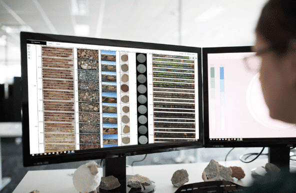
Imago enables validation of data insights and decisions by capturing, managing, and sharing high-quality geoscientific images in the cloud.
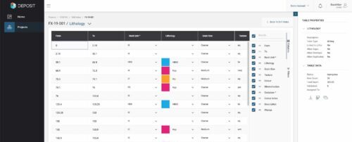
MX Deposit
Collect, manage, share, and access your drillhole and sample data in the Cloud.

Volsung
Volsung is a geothermal reservoir simulation solution designed for teams working with complex subsurface systems.
OpenGround
OpenGround is a secure, cloud-based geotechnical information management platform for collecting, reporting, managing, visualising, analysing, and accessing geotechnical data.
- Learn more
-
Buy now
Proceed to cart
Seequent products can be purchased securely through Bentley's eStore. Seequent is the Bentley subsurface company.
Prices shown on Bentley's eStore will be displayed in your local currency excluding tax.

SPIA
TEM and DC/IP VES data processing and inversion.
Target
Process, QA/QC, visualize and interpret your surface and subsurface geoscience or exploration data.

Target for ArcGIS Pro
Advance your understanding of drillhole and subsurface data within Esri ArcGIS Pro.
Not sure what solution is
Right for your needs?
Contact us

Free training and support
Grow your geoscience knowledge, connect with peers, and refresh your skills
Seequent Community
Discover new opportunities, connect with peers, and share insights and best practices with others in your field.
Visit Seequent CommunityLearning Centre
Get started fast or upskill whilst working with our onboarding and advanced free eLearning courses.
Visit Seequent Learning CentreSeequent Help
Find answers to your technical questions and get the most out of your product, with our in-depth product help information.
Visit Seequent Help