Visualise and understand data to make future-focused decisions, using our earth-modelling, analysis and collaboration software. In the most challenging situations, with only one changes to get it right, data integrity gives the confidence to make tough calls.
Unlock the value of subsurface data: Accelerate sustainable decisions
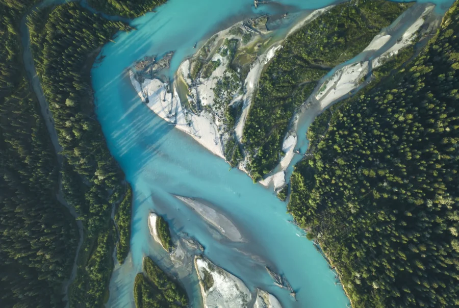
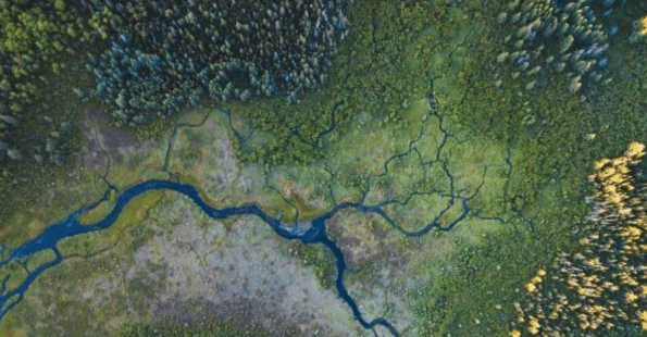
From risk to better environmental outcomes, faster
Contact SalesSee all productsTurn data into a story
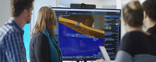
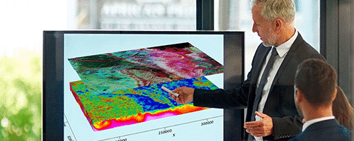
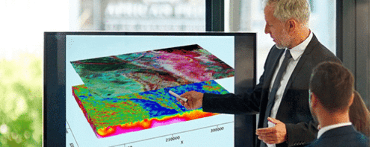
Bring clarity to every stakeholder
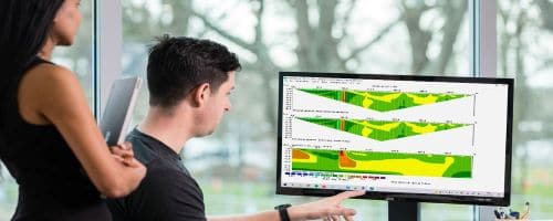
A better understanding of what’s beneath our feet is critical in understanding environmental risk. Unlock smarter, more sustainable decisions, using our tools to communicate in an accessible and collaborative way.
Focused solutions for environmental projects

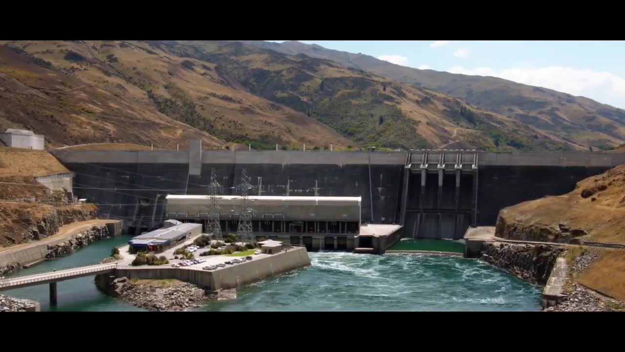
Groundwater resource management
Protect communities and ecosystems with connected solutions for groundwater resource analysis.
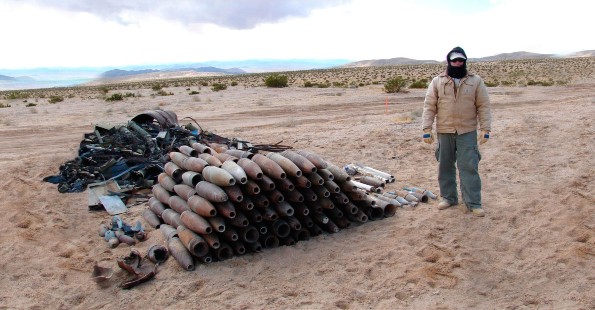
Unexploded Ordnance
Deliver fast, cost-effective mapping and classification of onshore and offshore unexploded ordnance.
Contaminated sites
Bring contaminant data into 3D geological models and create transparent, defensible estimates of contaminant mass.
Delivering success in environmental projects
See how organisations are tackling the world’s most urgent challenges with Seequent.
Do you use all of your data?
Watch how one environmental consultant integrates data, teams, and technology to help companies clearly communicate with stakeholders and make better decisions for their projects.

Environmental solutions across the life cycle
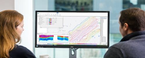
Build your understanding of subsurface conditions
Visualise the subsurface data in 3D.
Consolidate your hydrogeological and environmental investigation data and insights from test sites.
Identify aquifers, aquitards, or contaminated zones using geophysical data.
Workbench Airborne TEM Module
Experience a solution that integrates all the steps in the workflow from importing, processing, and visualising your Time-domain Electromagnetic (TEM) data.

Leapfrog Works
Visualise and understand the subsurface with a solution built for civil and environmental projects.
Seequent Central
Central A single, comprehensive environment for managing, tracking, and collaborating on your geological data.
Build robust models
Visualise, track, and manage your site, hydrogeological models, and data from a centralised, Cloud environment.
Communicate these with stakeholders using accessible web-based links to interactive 2D and 3D visuals.
Integrate 3D plume analysis and flow modelling into your conceptual model which forms the basis for your remedial design and monitoring strategies.
Oasis montaj
Visualise, analyse, and integrate all your geoscience data in interactive 2D and 3D models.
Leapfrog Works
Communicate insights with dynamic 3D modelling designed for civil & environmental projects.
GeoStudio
Model slope stability, ground deformation, and heat and mass transfer in soil and rock.
Seequent Central
Manage, track, and collaborate on geological data in a single, accessible environment.
A best-practice approach to management, remediation, and monitoring
Solve diverse engineering problems for best-practice management of waste, water, and contaminated land.
Document and communicate how problems are solved
Easily update models and deliverables as new data is introduced
Integrate your modelling with solute and vapour contaminant transport, air, and thermal processes
Reduce risk and boost efficiency between teams — interoperability with MODFLOW and FEFLOW allows you to use lithology models as the basis for flow models.
GeoStudio
Reveal new insights and uncover risks by modelling slope stability, ground deformation, and heat and mass transfer in one place.
Leapfrog Works
Visualise and understand the subsurface with a solution built for civil and environmental projects.
Seequent Central
A single, comprehensive environment for managing, tracking, and collaborating on your geological data.
Engage stakeholders of every kind — from expert partners to non-technical audiences
Provide easy-to-understand interactive models as well as 2D and 3D visualisations.
Bring model screenshots and embedded 3D visuals into your reports, showcasing your expertise.
Bring transparency to your plume analyses, making buy-in easier to achieve, and reporting efficient.
Leapfrog Works
Visualise and understand the subsurface with a solution built for civil and environmental projects.
Seequent Central
A single, comprehensive environment for managing, tracking, and collaborating on your geological data.
Oasis montaj
Communicate effectively by turning your geoscience data into interactive 2D and 3D models.
Res2DInv & Res3DInv
Process and invert your resistivity and induced polarisation data in just two clicks.
A trusted choice in over 150 countries
Industry professionals use Seequent to tackle their biggest environmental challenges. Contact our team to learn more about how we could help you.
Talk to usUncover the digital earth
We're industry leaders in earth modelling, analysis and collaboration software.
Why Seequent