


Enable True Ground-Informed Design in Civil 3D with OpenGround
Watch: Taylor and Loris talk about how to establish a dynamic link between OpenGround and Autodesk Civil 3D to automate geotechnical profiling and de-risk your

Enable true ground-informed design in Civil 3D
Our understanding of ground conditions evolves with the project, so geotechnical design teams need a reliable way to work with the latest information.
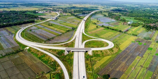
Technology saves Sumatran expressway project 120 days, avoids $180m in losses
The adoption of advanced digital tools on the $3.5bn Trans-Sumatra Toll Road project played a “pivotal role” in meeting the expressway’s engineering challenges.

IAEG-Seequent partnership builds engineering knowledge, capability
Seequent is supporting the International Association for Engineering Geology by sponsoring workshops incorporating Leapfrog.

Co-operation essential for tackling landslide dangers
Landslides kill thousands of people globally each year, despite efforts to better manage this hazard. Pat McLarin, Seequent Segment Director, Civil, writes.

Data-rich, insight-poor? It’s time to tame your geotechnical data chaos
Poorly governed data costs time and money. Modern data governance turns your subsurface data from a risk into a strategic asset. It's time to tame

How AI‑driven subsurface insight is shaping infrastructure outcomes
The Bentley Systems 2025 Impact Report highlights how AI is moving from experimentation to measurable real-world outcomes, including for Seequent customers.
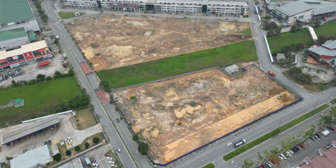
Brownfield success: Engineering excellence starts below ground
Integrating environmental & geotechnical data in a shared 3D model (CSM) is key to managing risks and avoiding costly delays in brownfield projects.