Solving complex geotechnical design challenges for the longest Dam in South-East Asia.
With a capacity of 33 million cubic metres of water and stretching a vast 3.1 kilometres, Indonesia’s Semantok Dam is ...

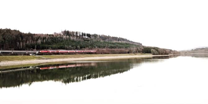
Revolutionising Rail Travel: Germany’s New High-Speed Traffic Line
Using advanced 3D modeling techniques, Germany's new high-speed rail project overcomes complex subsoil, data integration, and coordination challenges. Spanning 100 ...

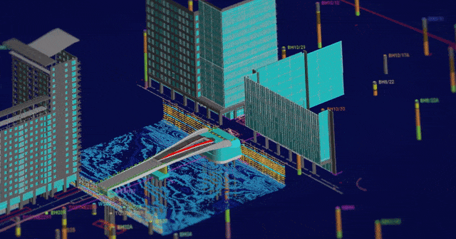
Arcadis utilise digital modelling & analysis for: Iconic lifting footbridge in London’s Canary Wharf
Through groundbreaking digital modeling and analysis, Arcadis, achieved unprecedented efficiencies, reducing ground investigation costs by 30% and design costs by ...

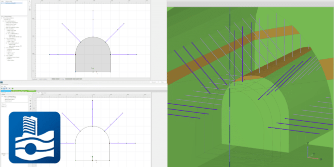
PLAXIS 2024.1 – What’s New
With PLAXIS 2024.1 users benefit from enhancements for designing and reinforcing underground excavations, improvement in the connected geotechnical workflow and ...

A Connected Geotechnical Workflow: The Key to Safe and Sustainable Infrastructure Projects
Gain knowledge of: Integrating and visualising available subsurface data Interpreting subsurface data to aid geotechnical analysis Managing geoscience data and ...

Prof. Quick und Kollegen establish BIM workflow for new German high-speed railway line
A new high-speed traffic line in Germany, will eliminate bottlenecks and shorten journey times to serve an increase in passengers ...

Arcadis leverages innovative digital solutions to design London’s South Dock Bridge
The bustling financial district of Canary Wharf in the United Kingdom will soon feature a brand-new pedestrian crossing set to ...

Geotechnical Product Workflow
Seequent’s integrated portfolio of products enables geotechnical teams to unlock a cloud connected workflow spanning factual data, interpretive modelling and ...