


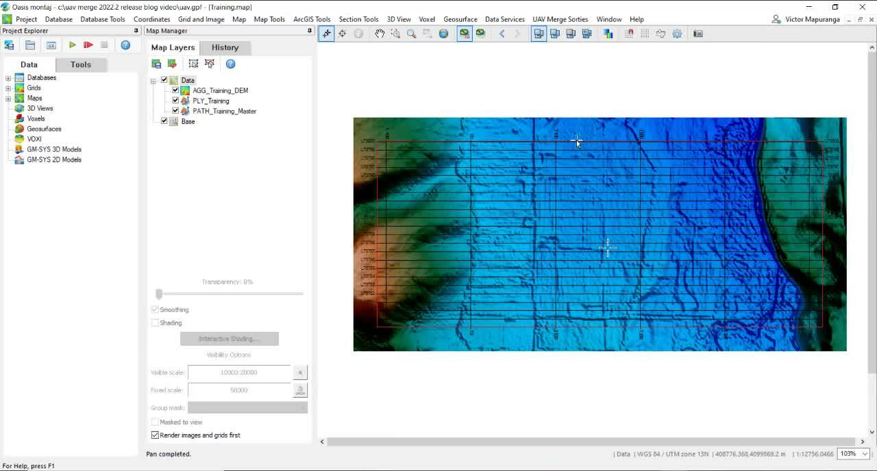
Streamline your drone survey workflow with Oasis montaj 2022.2’s improved UAV Extension (UAV Merge Sorties)
The Oasis montaj 2022.2 release includes significant workflow improvements to the UAV Merge Sorties extension, previously known as the UAV extension. The improved extension allows
Advances in UXO instrumentation: from everything on board to everyone on shore
Geomatrix Earth Science has worked in the marine and terrestrial geophysical prospecting industry for more than 25 years. They’re specialists in instrumentation integration and have
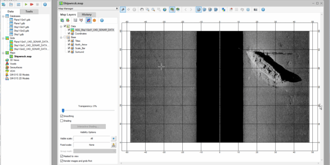
Optimizing UXO target lists with ALM Geophysics’ library of previously found targets
Reducing the number of targets by just 10% can significantly reduce the time and cost required for a Marine UXO survey. But which targets do
Is artificial intelligence the answer to faster, safer, and surer bomb disposal?
Aaron Florence is the founder and MD of Brimstone, the UK’s only government-assured explosive ordnance disposal and clearance (EOD/EOC) provider that delivers UXO disposal for
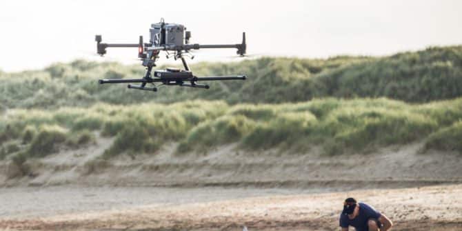
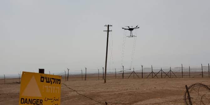
How much can you save by adding UAVs to your intertidal UXO survey campaign?
SafeLane Global controls a UAV from a ship As Director of Marine Services, Ryan Prophet’s role includes looking for new answers to some of marine
What’s new in Oasis montaj 2022.2
The latest release of Oasis montaj includes new and improved support for UAV surveys, airborne QC, UXO detection, and TDEM data.
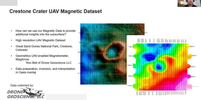
SEG Summit on Drone Geophysics: Josh Sellers’s Magnetic Domains on UAV Data Collection
Classification of Magnetic domains using Machine learning on UAV Magnetic data collected over the Crestone Crater. There is an increase in the collection of high-quality
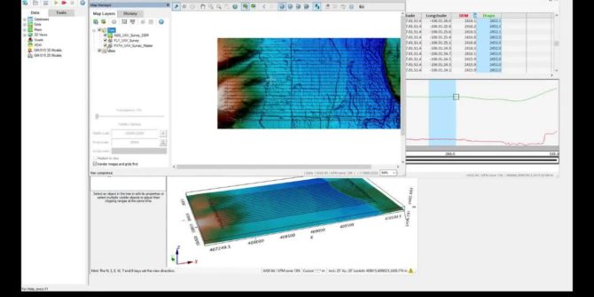
UAV Survey
How to plan an unmanned aerial vehicle (UAV) magentic survey Define survey Defining sub-areas Creating a drape elevation Visual line of sight test (VLOS) Duration15