
”Though uncrewed and autonomous vehicles aren’t ready to lead the survey, adding them to your toolkit can reduce your survey costs by 30%.
Ryan ProphetDirector of Marine Services at SafeLane Global
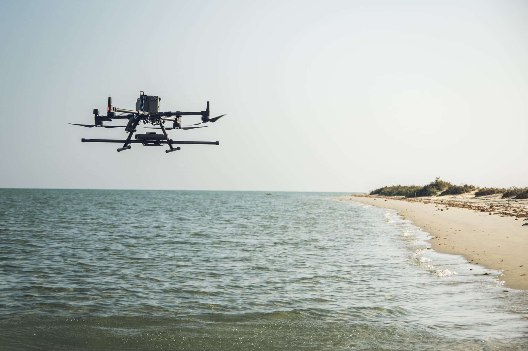
SafeLane Global controls a UAV from a ship
As Director of Marine Services, Ryan Prophet’s role includes looking for new answers to some of marine UXO’s most persistent problems. Both he and SafeLane are long-time Seequent users for ground and marine UXO work, and products such as Oasis montaj and UXO Marine have helped them tackle various challenges.
”Certainly, one of the most difficult challenges we face in magnetic surveying today is working in intertidal areas
Ryan ProphetHydrographic and UXO specialist
The principal obstacle is well-established. Sensors must be kept away from carrying vessels or anything ferrous to avoid magnetic interference and ensure high data quality. This is less of a problem in the deep sea, but in shallow waters, it’s challenging to maintain enough distance; the closer the sensor is to the ship, the more likely the data will be contaminated.
“Maintaining a consistent altitude (off of the seabed) is also challenging because you have a lot of tidal movement, and that same tide also means you may have only small amounts of time to collect a lot of data over a large area,” says Ryan.
Surveying areas beyond the reach of ships
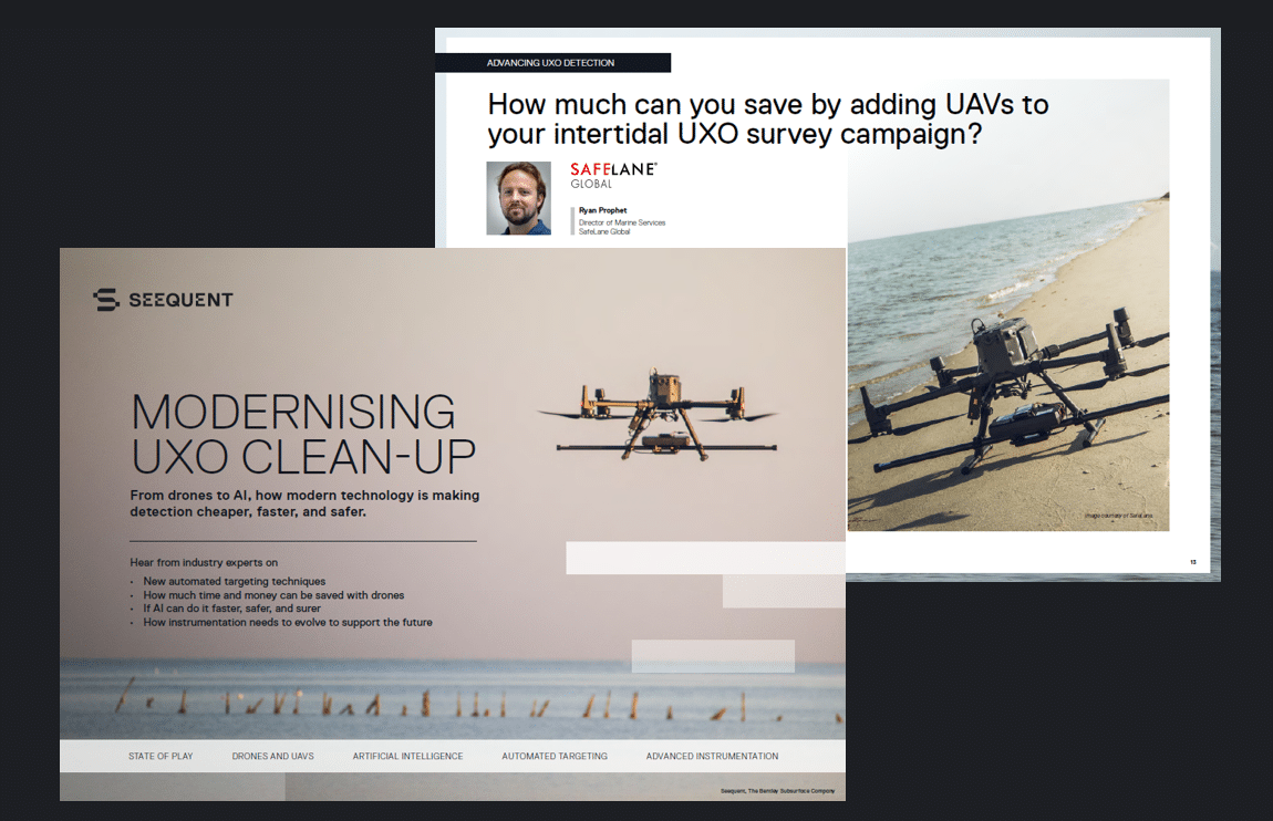
In recent years, SafeLane has been expanding its use of unmanned aerial vehicles (UAVs) within intertidal regions as one way to address those challenges. UAVs with sensors fixed beneath them can operate over a shallow seabed or riverbed at levels that would be impossible for ships.
Commonly, sensors are suspended from a UAV via an armoured data cable several meters long, limiting the oscillation noise and processing “black magic” required when a direct connection is made between the sensor and the UAV. However, the suspended alternatives also come with challenges “One of the major drawbacks, when you don’t have a rigid connection between the UAV and the sensor, is that the sensor moves around, so maintaining its position and altitude can be difficult.” Landing it and controlling it in high winds can also be tricky.
Subsequently, a hybrid partnership of ship and UAV gathered intelligence has been demonstrated to be highly effective, says Ryan. By marrying the data between vessels further out to sea and UAVs closer to land, near-shore surveys can be completed faster, more accurately, and at a significantly reduced cost compared to traditional approaches (20% savings on average).
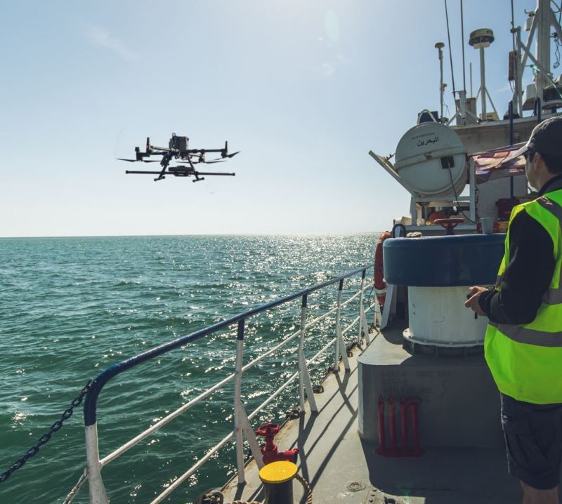
SafeLane Global experts in the field setting up and configuring a UAV for an intertidal geophysics survey.
”“Oasis montaj is incredibly useful for this hybrid approach because it’s not sensor adverse, so the data that comes out of the sensors can be easily exported to deal with different gridding problems, for example.”
The all-important altitude data can also come in various types and formats – for example, through an altimeter – depending on the sensor, rig, or drone type. “Oasis montaj and UXO Marine are also good at splitting that data out so you can see and test the altitude. Then you can combine the parameter data set by your beginning stages, be that your surrogate trial, data analysis, or repeatability test.”
”With Seequent we are transforming the way the industry thinks about UXO detection and leading the way towards innovative solutions that lower marine UXO survey cost and risk.
Ryan ProphetSafeLane Global
For a full version of this feature and a closer look at how much time and money a UAV-based intertidal survey could save, download our free eBook “Modernising UXO clear-up” and hear from other industry leaders how modern technology like drones and AI are making UXO detection cheaper, faster, and safer.