


Learn more about performing a UAV Survey
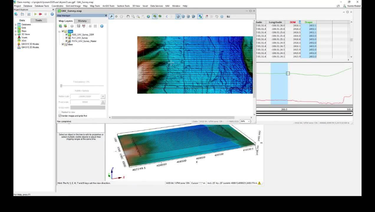
How to plan an unmanned aerial vehicle (UAV) magentic survey
- Define survey
- Defining sub-areas
- Creating a drape elevation
- Visual line of sight test (VLOS)
Duration
15 min
See more on demand videos
VideosLearn more about Oasis montaj
Learn moreVideo Transcript
transcript here