


GeoStudio 2024.1 – What’s new
GeoStudio 2024.1 continues to build on Seequent’s geotechnical analysis solution, adding new features to tackle complex problems involving rock slopes along with the capability to

A Connected Geotechnical Workflow: The Key to Safe and Sustainable Infrastructure Projects
Gain knowledge of: Integrating and visualising available subsurface data Interpreting subsurface data to aid geotechnical analysis Managing geoscience data and collaborating to refine project design
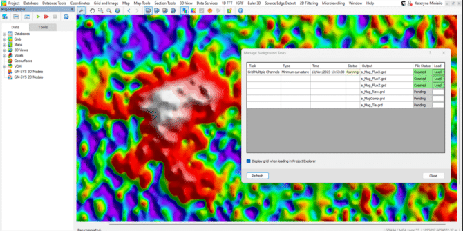
See what’s new in Oasis montaj 2023.2
We've prioritized speed and user experience in this release. Efficiently filter multiple grids simultaneously and run gridding in the background. Plus, with the added feature
Answer Hour | Understanding Pore Water Pressures & Seepage
GeoStudio’s SEEP/W and SEEP3D provide the ability to simulate 2D and 3D groundwater seepage associated with natural slopes, dams and levees, excavations and pits, pumping
See what’s new in AGS Workbench 6.9
The latest release of Workbench continues to improve the data processing and analysis experience with better processing tools, new TEM filters, clearer 3D visualisations, new
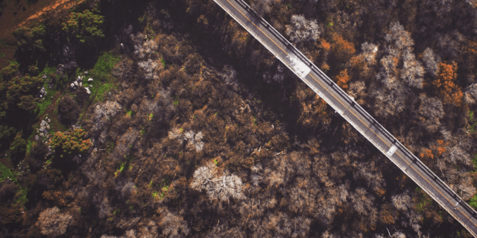
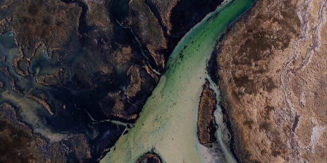
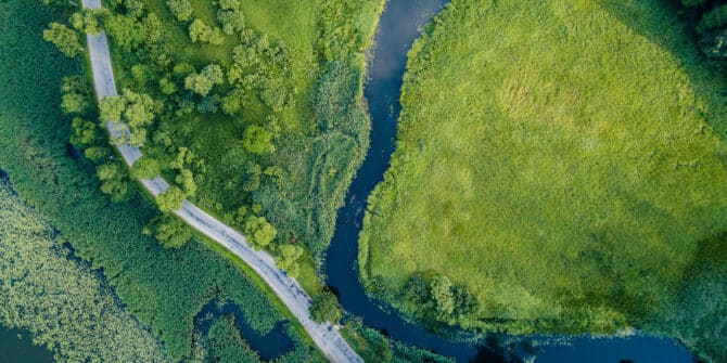
The importance of ground modelling in linear infrastructure design
Ground modelling creates a 3D representation of the subsurface of the earth, and provides critical information that can be used to ensure the route for

Central: Project versioning and chronology for model comparison
Join our Central experts to see how the categorisation of a project within Central can enable a large team of users to track the iterations
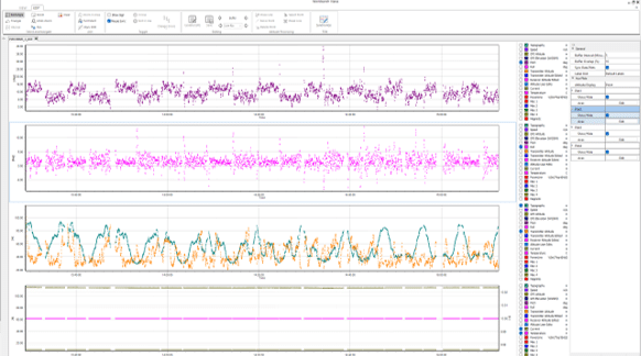
Webinar: Leveraging cloud technology: Integrating dynamic geotechnical graphing within your workflow
The webinar on “Leveraging cloud technology: Integrating dynamic geotechnical graphing within your workflow” took place on 26 October at 2 pm BST. The key speakers