


Integrated ground modelling for offshore windfarm development; informing risk and foundation design
Join the Seequent team for an overview of how an integrated ground model impacts decision making and reduces risk in offshore wind projects.
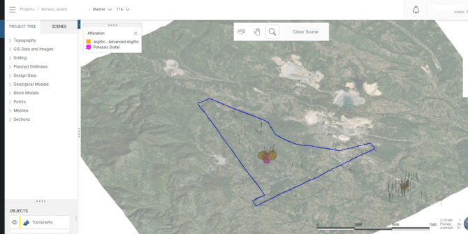
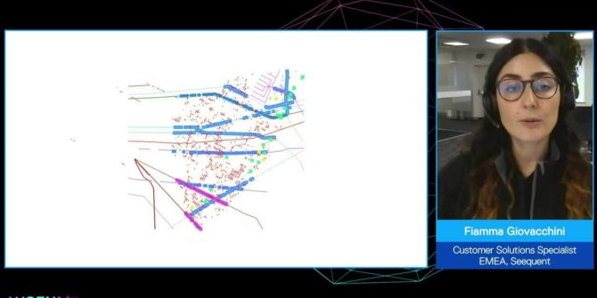
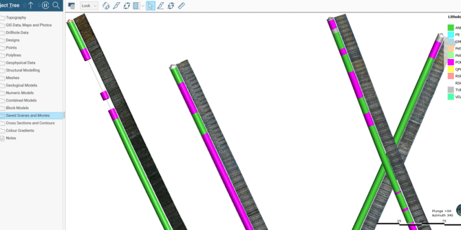
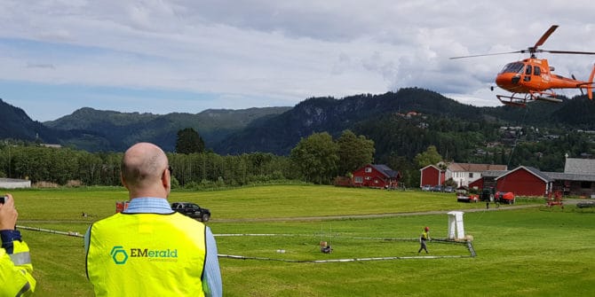
How Mundoro uses Seequent Central to engage with partners
Mundoro Capital Inc. (Mundoro) is a Canadian listed royalty generator and exploration company with a portfolio of projects focused on copper and gold. For its
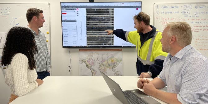
Getting the full picture with Imago, Leapfrog Geo and Central
Mundoro Capital Inc. (Mundoro) is a Canadian listed royalty generator and exploration company with a portfolio of projects focused on copper and gold. For its
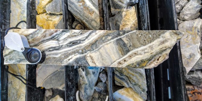
Filling the gaps: Why geotech and geophysics are better together
Clouds roll over Austria’s highest peak revealing it part by part. Andi A. Pfaffhuber has made a career piecing together a more complete view of
How remote working helped keep First Quantum Minerals exploration on track during the pandemic
The use of Imago and Seequent allowed First Quantum Minerals to effectively carry out remote exploration project reviews during the Covid-19 pandemic. Imago’s cloud-based platform
Digital Transformation in Industrial Minerals
Hear real world examples of how Industrial Minerals customers have: Reduced operating costs by more than $2.5million USD per year Decreased stripping ratio from 7:1
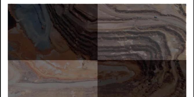
Finding workflow gold at OceanaGold
In case studies, we often focus on problems followed by the solutions, but in the case of OceanaGold, they showed us how applying the best