


Are you new to working remotely with Target for ArcGIS Pro?
Here are the best practices for staying productive and connected.
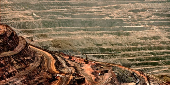
Target for ArcGIS Pro enhances integration of mining and exploration data
Industry-first tool enables geoscientists to find what’s hidden faster with seamless integration of subsurface drilling and borehole data into ArcGIS Pro.
Targeting Exploration Mapping Needs
Industry usage of drillhole and mapping software is growing day-by-day. This is largely due to speed and efficiency advantages when dealing with greater volumes and
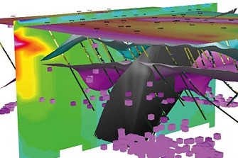
3D model improves cement mine planning at Doña Amalia
A new 3D geological model for InterCement’s Doña Amalia mine in Argentina is improving day-to-day operational decisions and assisting the company with long-term mine planning.
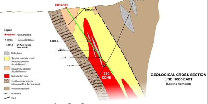
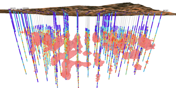
Zeroing in on the high-grade: integration provides new clues at Hope Brook
The recent decline in gold prices has reinforced the importance of delineating deposits that can withstand the vagaries of the market. Tonnage may have trumped
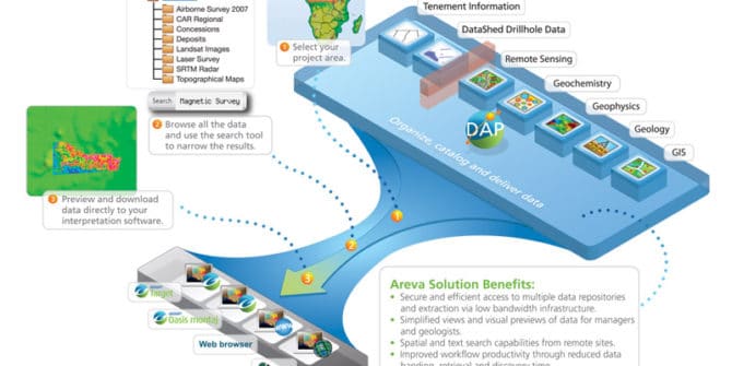
Areva takes strategic approach to exploration information management
When France’s Areva, the world leader in technological solutions for nuclear power generation, acquired UraMin in mid-2007, the Canadian company was a junior success story.