


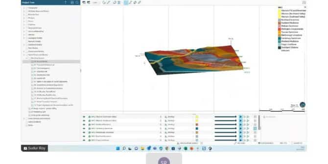
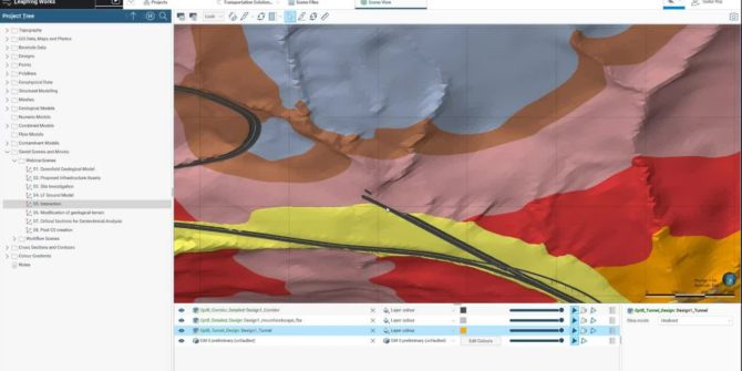
Tunnel Excavation Workflow in Leapfrog Works
Watch technical expert, Sudur Roy, as he guides you through the vital tunnel excavation workflow: - Determine the total volume ...
Harness the power of Seequent Central from Oasis montaj 2022.1
Advancing geophysical data management and collaboration As geoscientists increasingly work across multiple projects, they require better data management and visibility, ...
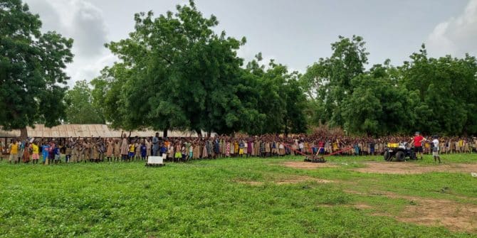
Towed Transient Electromagnetic Technology (tTEM) Improves Water Access in Developing Countries
The Aarhus University HydroGeophysics Group are dedicated to improving water access in developing countries. We are excited to share their ...
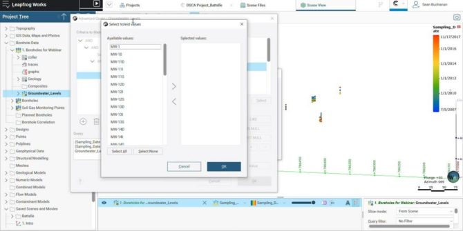
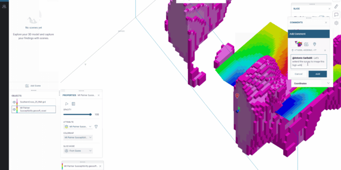
Generating Potentiometric Surfaces and other useful workflows with groundwater elevation data
This short video will teach you how to: Import groundwater gauging data into Leapfrog Query data by a specific date ...
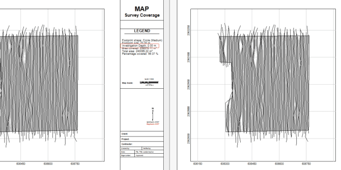
Even more UXO Marine improvements in Oasis montaj 2022.1
In addition to the modelling workflow improvements discussed in the Precise Target Modelling blog, there’s even more for UXO Marine ...
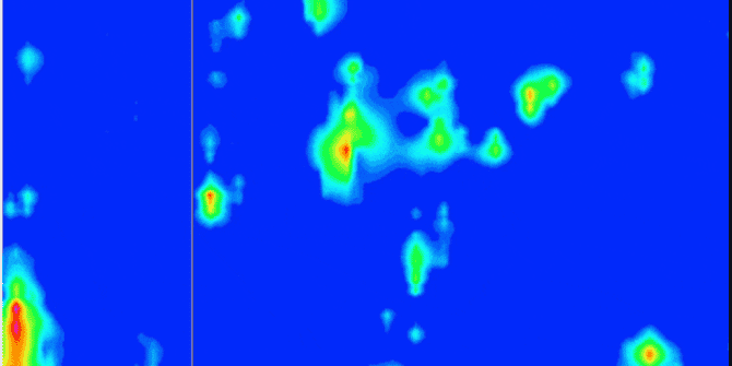
More accessible and precise target modelling with the latest release of UXO Marine and Oasis montaj 2022.1
The latest release of Oasis montaj 2022.1 significantly improves UXO Marine target modelling. The new features and improved UXO target ...
Geological Modelling to Geotechnical Design: Interoperability between Leapfrog and PLAXIS 2D – Slope Stability Analysis
Effective modelling and design practices and active collaboration between engineering geologists and geotechnical engineers. Join technical expert, Sudur Roy, in ...
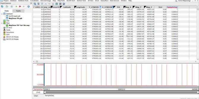
Drone survey planning and data processing using UgCS and Oasis montaj
During the video you will learn the basic workflows, concepts, and tools necessary to plan a drone survey using UgCS ...