


In addition to the modelling workflow improvements discussed in the Precise Target Modelling blog, there’s even more for UXO Marine users in Oasis montaj 2022.1. This release includes several new and improved features – all driven by user feedback including:
- Improved background calculation with up to 10 filters
- New quality control (QC) menu with tools that speed up the QC/QA phase of a survey
- Improved gradient workflow that allows the addition of split channels when converting a gradient database to a single sensor database
The first improvement is simply being able to run more filters simultaneously when calculating your background removal, eliminating the need to run the tool multiple times or run the individual filters one by one to get the desired results. Some users were calculating a background using between 7 – 9 filters, and previously the tool was limited to only 4.
Up to 10 background removal filters
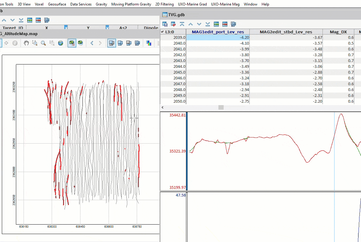
If your role requires data verification for adherence to contract specifications and a quality check of the initial data acquisition, the all-new QAQC menu is for you. We’ve brought together several tools in the new menu to help speed up the process of checking survey quality for things like altitude, velocity, coverage, and database channel statistics.
QAQC Tool menu
Altitude QC allows you to specify a maximum height above the seabed and automatically dummy or delete the data above this maximum in the output channel. There is also an option to remove sharp spikes and dropouts in data as part of the QC, eliminating the need to run a separate despiking filter.
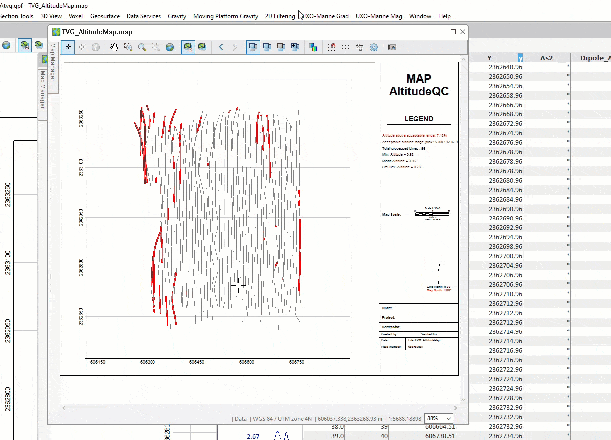
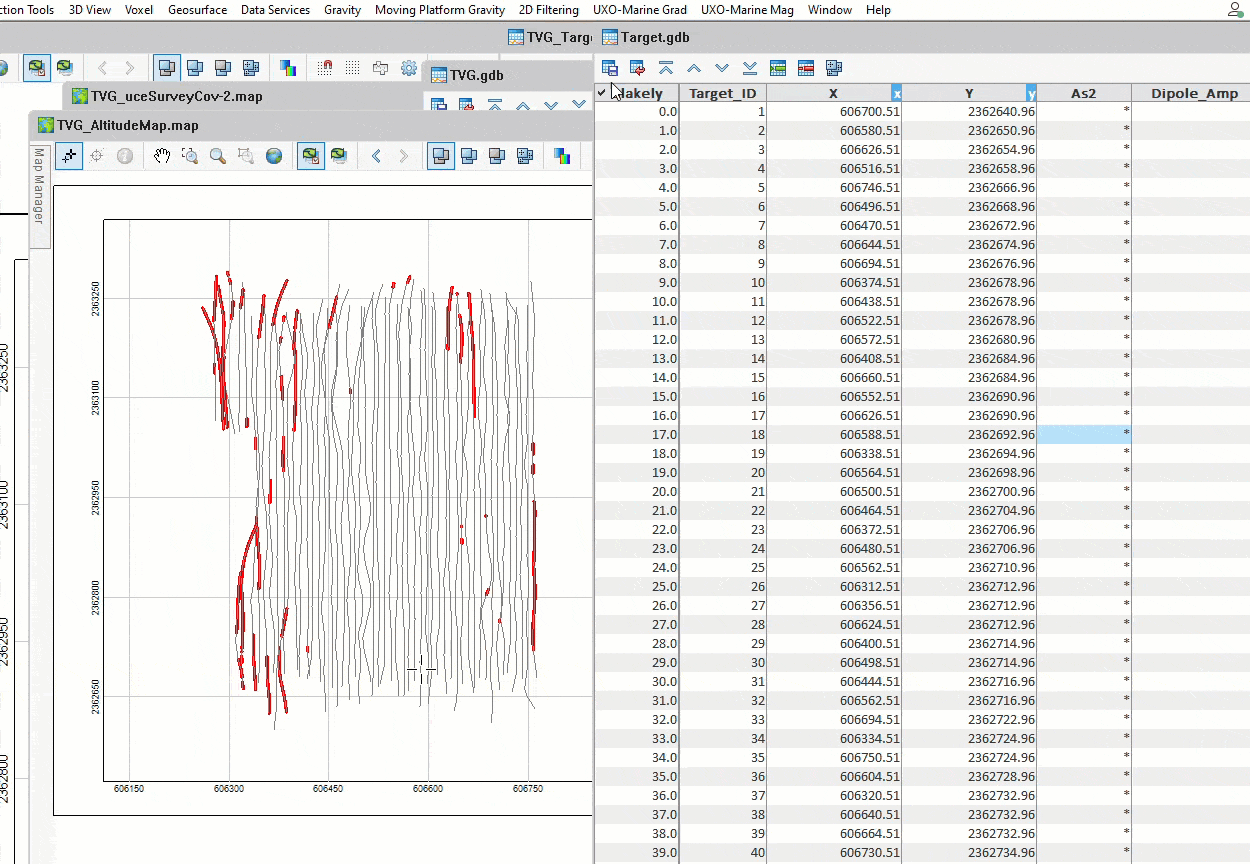
Creating an altitude map
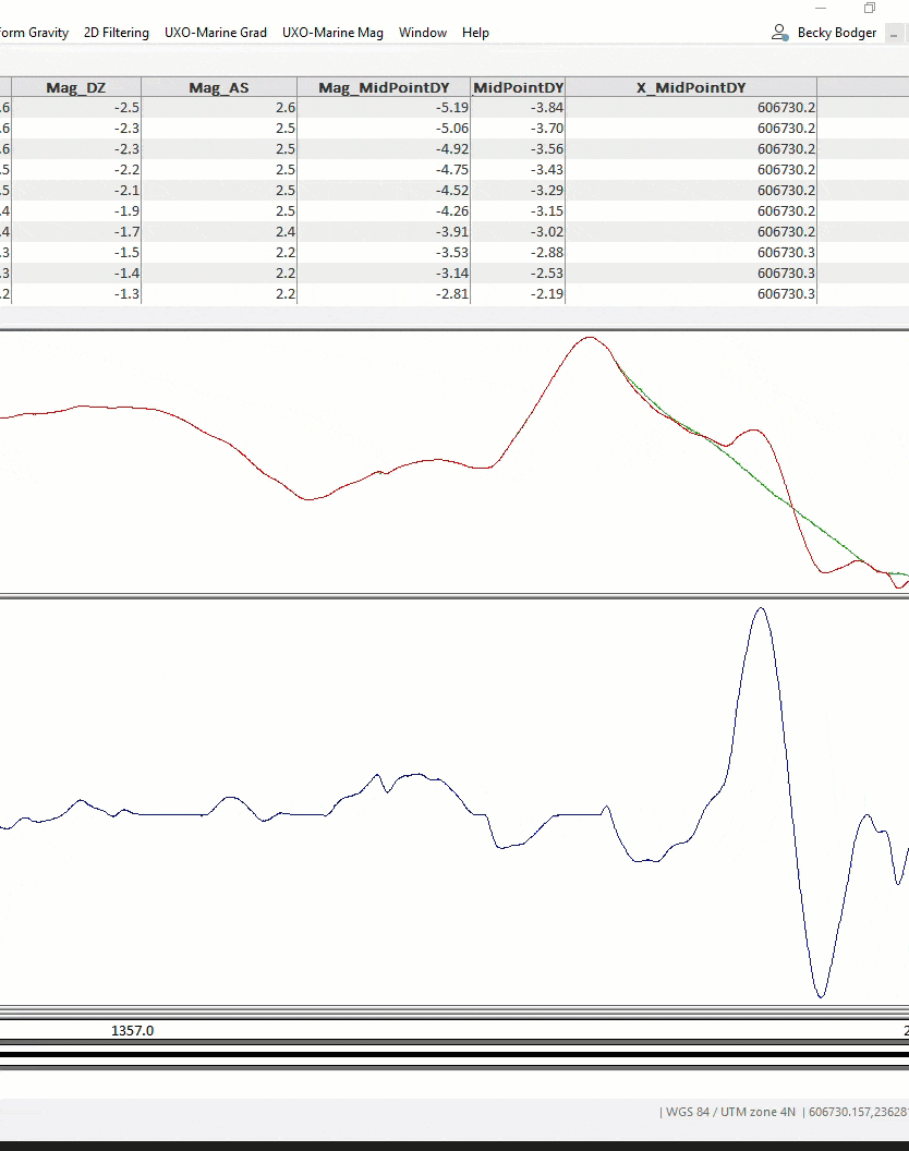
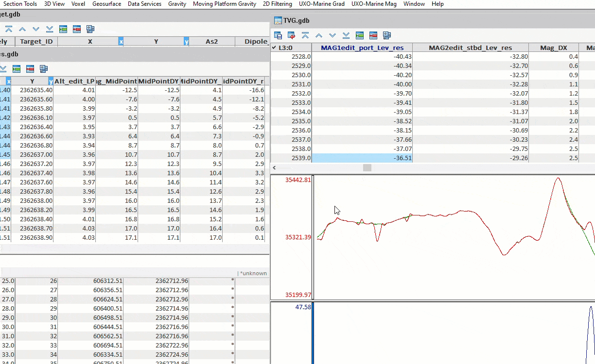
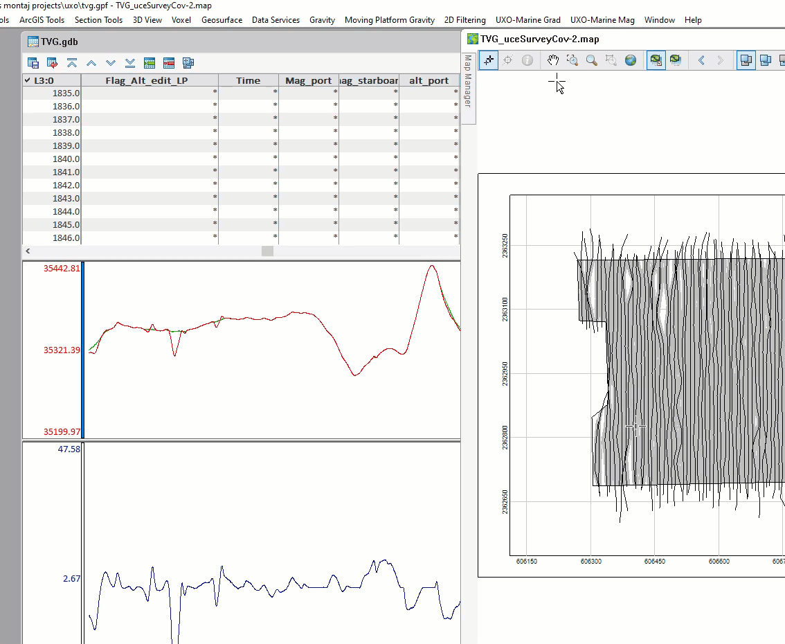
Velocity calculation creates an output velocity channel and a flag channel in your database where you are above or below the specified min/max. The “Knots” unit has been added specifically for working offshore. The velocity calculation and altitude QC produce new maps showing where you are outside the min/max specified by each tool.
Setting the maximum and minimum velocity
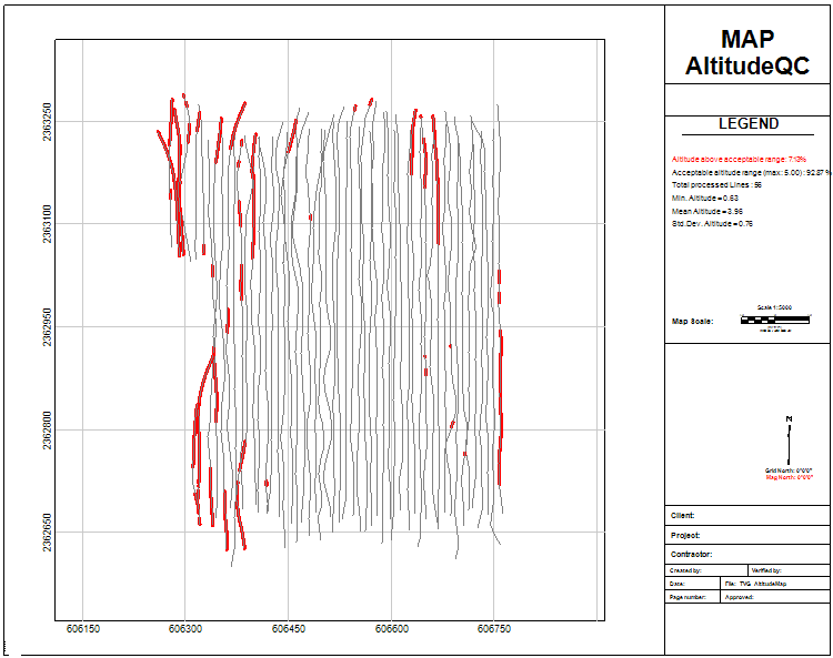
Altitude map
The survey coverage tool has been around for a few releases. However, it only calculated the coverage on the sea floor. Often there is a requirement to clear below the sea bed up to a specified depth, so the survey coverage tool now includes an investigation depth, enabling survey coverage at the surface and depth. The example below shows the difference when calculating it at 0 depth (seafloor) and a depth of 3 meters. The coverage goes from 97% to 55%.
Survey coverage tool
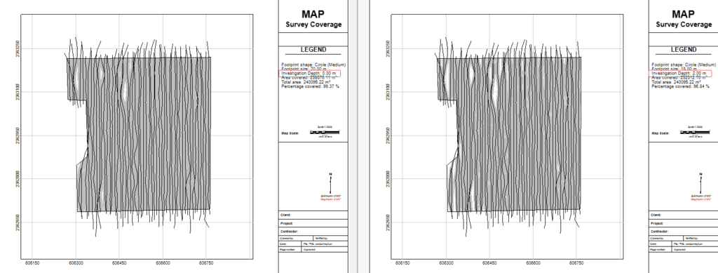
Coverage comparison
Finally, based on popular demand, the Convert Gradient database tool has been improved so that instead of only being able to split up your mag sensor channels into separate lines in a new dataset, you can split numerous additional channels. This improvement is beneficial, for example, if you have an array of magnetometer sensors and an altimeter on each sensor. You can split each magnetometer along with the relevant altimeter reading with the new, improved tool. This saves you from a complicated workflow where you used to split the database and then copy and paste each altimeter onto the correct line in the new single mag database. A small but significant improvement!
Splitting mag sensor channels in the Convert from Gradient database tool
As always, we welcome any feedback and further requests you may have relating to UXO Marine or any other extension in Oasis montaj. I hope you find the improvements relevant and helpful. If you have any questions, be sure to sign up for the webinar and Q&A session, or feel free to send questions or requests to [email protected]
Thank You for reading!