


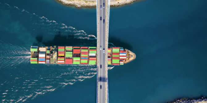
How AI‑driven subsurface insight is shaping infrastructure outcomes
The Bentley Systems 2025 Impact Report highlights how AI is moving from experimentation to measurable real-world outcomes, including for Seequent customers.
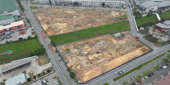
Brownfield success: Engineering excellence starts below ground
Integrating environmental & geotechnical data in a shared 3D model (CSM) is key to managing risks and avoiding costly delays in brownfield projects.

OpenGround achieves FedRAMP authorisation
OpenGround's FedRAMP authorisation enables U.S. federal agencies to securely adopt cloud-based geotechnical data workflows for critical infrastructure.
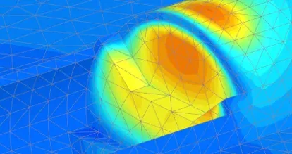
Sener Mobility optimised bridge design using PLAXIS and Leapfrog
By implementing a digital-first approach, Sener significantly improved its geotechnical workflow, leading to more efficient and reliable designs with measurable return on investment.
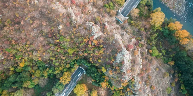
Seeing beneath the surface: why subsurface insight is reshaping infrastructure
Advanced 3D geological modelling integrates subsurface data to cut risks and costs, enabling safer, more resilient infrastructure delivery.

Transforming infrastructure through better subsurface insight
Modern 3D geological modeling integrates subsurface data to mitigate risks, reduce costs, and improve decision-making for complex infrastructure projects.
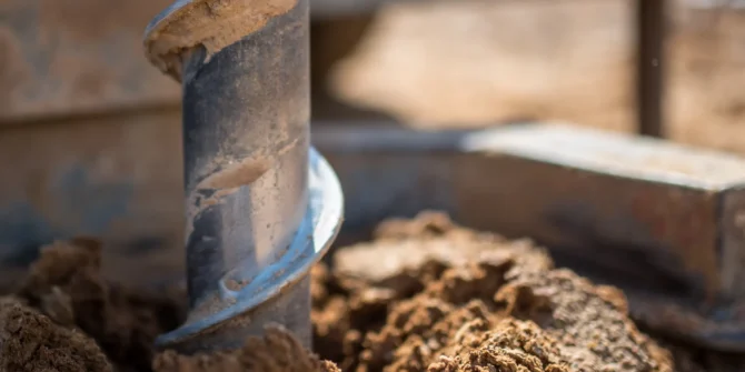
Top five things users demand from modern geotechnical information management (GIM) software
Today's GIM software must provide a central data hub, seamless team collaboration, powerful 3D modeling, full interoperability, and robust security.

Advancing geotechnical education with unified academic access to PLAXIS and GeoStudio
Introducing the Geotechnical Analysis Academic Program: unified access to our industry-leading PLAXIS and GeoStudio software.
