


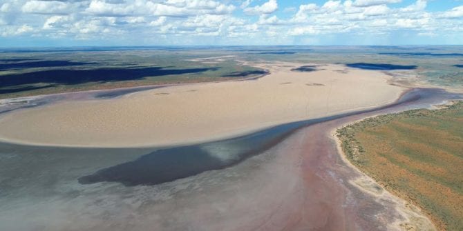
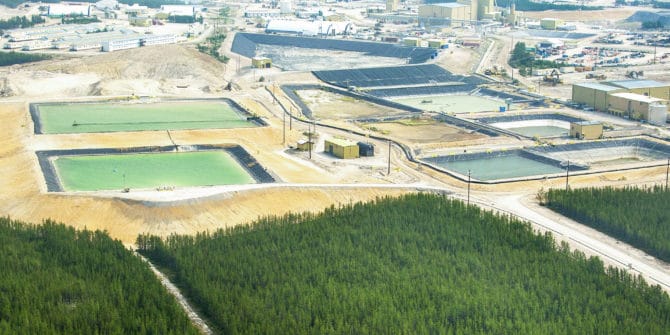
Beyondie Sulphate of Potash Project, Western Australia
Due to changes in global brine reporting guidelines hydrogeology experience has become more relevant in reporting brine resources, with this change hydrogeologists are having to
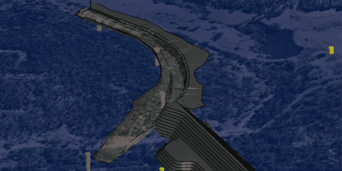
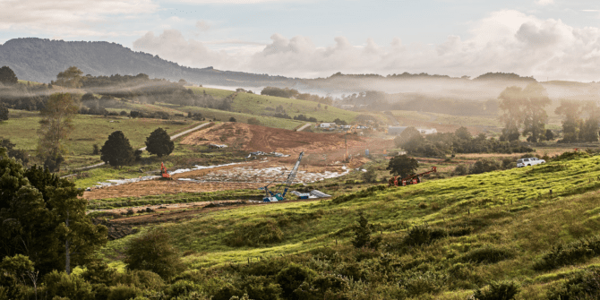
Emu Swamp dam: improving stakeholder communication through 3d visualisation
The Emu Swamp Dam is a proposed 12,100 megalitre urban and irrigation supply dam on the Severn River in Stanthorpe, Queensland. This $84 million project
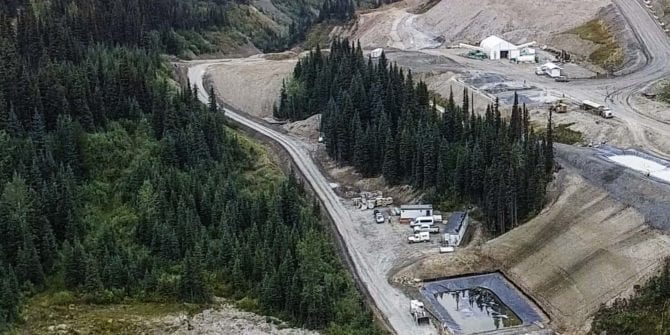
How Central has transformed the way the Barkerville team manages their data
Central has been implemented on the infill programme and has streamlined the process of data collection and version control.
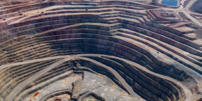
How Eldorado Gold uses Seequent’s integrated solutions for better global decision making
Global mid-tier gold and base metal producer, Eldorado Gold, has introduced Seequent’s Central model management platform to its operations in Europe and the Americas.

Modelling the Wellington subsurface to understand seismic risk
Understanding the seismic risk of New Zealand’s capital city requires an in-depth understanding of the complex geology.
Centralising 3D at Cameco Corporation
The centralising and standardising of all active exploration projects, research, generative 3D data, has been achieved by using model management platform Seequent Centra
3D Modelling Plays Important Role in Design of New Zealand’s Pūhoi to Warkworth Motorway
Seequent software has been used to support design of a motorway extension from New Zealand’s Pūhoi to Warkworth
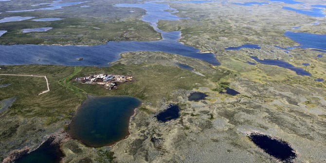
How Seequent upgraded geological understanding at AMARUQ
From the start of the project, the Exploration team used Leapfrog to understand the geological context; to plan and optimise drillhole campaigns.