


A Connected Geotechnical Workflow: The Key to Safe and Sustainable Infrastructure Projects
Gain knowledge of: Integrating and visualising available subsurface data Interpreting subsurface data to aid geotechnical analysis Managing geoscience data and collaborating to refine project design
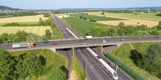
3D digital model deployed to evaluate underground route
Learn how Prof. Quick und Kollegen conducted a comprehensive geotechnical investigation for a German high-speed railway tunnel using PLAXIS and Leapfrog Works. Discover the benefits
Answer Hour | Understanding Pore Water Pressures & Seepage
GeoStudio’s SEEP/W and SEEP3D provide the ability to simulate 2D and 3D groundwater seepage associated with natural slopes, dams and levees, excavations and pits, pumping
![Hydrogeological Modelling using Leapfrog Works [Webinar Series]](https://www.seequent.com/wp-content/uploads/vid-thumbnail-670x335.jpeg)
Hydrogeological Modelling using Leapfrog Works [Webinar Series]
In this two-part series, we will explore the latest tools and workflows to assist you in getting the most out of your Hydrogeological data. This
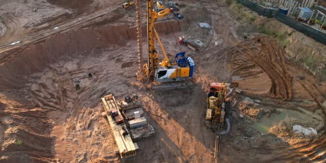
The importance of ground modelling in linear infrastructure design
Ground modelling creates a 3D representation of the subsurface of the earth, and provides critical information that can be used to ensure the route for

Arcadis leverages innovative digital solutions to design London’s South Dock Bridge
The bustling financial district of Canary Wharf in the United Kingdom will soon feature a brand-new pedestrian crossing set to become one of the busiest
Webinar: Leveraging cloud technology: Integrating dynamic geotechnical graphing within your workflow
The webinar on “Leveraging cloud technology: Integrating dynamic geotechnical graphing within your workflow” took place on 26 October at 2 pm BST. The key speakers
From local server to the cloud: How the Arcadis team transformed data management with OpenGround
Geotechnical data volumes have increased exponentially in recent years. And as technology improves, enabling better and deeper insights, the amount of data being generated is