


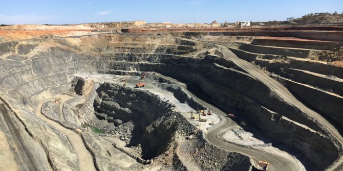
How Leapfrog Geo helped improve geological understanding at Edna May Gold Mine, Western Australia
The Project Edna May Gold Mine operated by leading, growth focused Australian gold miner, Evolution Mining, is located 350 km west of Perth and 2
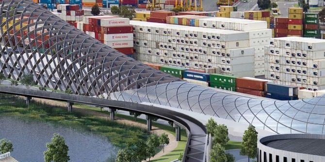
The West Gate Tunnel project in Melbourne, Australia
One of the largest diameter bored excavation projects in the world.
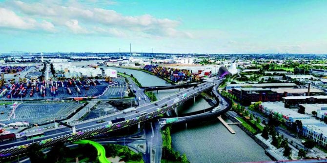
Leapfrog Works gives confidence to critical decisions in Australia Infrastructure project
The West Gate Tunnel project in Melbourne, Australia is one of the largest diameter bored excavation projects in the world and the largest ever undertaken
Gamma ray spectrometry proves it worth as a mapping tool in granite-rich terrain
In areas with limited accessibility and/or a scarcity of outcrop, airborne geophysical techniques can sometimes be used to map geology. Gamma-ray spectrometry, for instance, works
3D modelling helps district in Nebraska get a better handle on water quality
A district in Nebraska is using 3D models generated from airborne electromagnetic (AEM) survey results and borehole data to manage land use in an area
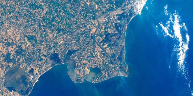
Leapfrog unearths the first 3D view of the Po Delta geology in Italy
3D Modelling of the Holocene Succession in the Southern Po Delta (Italy).
Safe Nuclear Waste Disposal
How do we safely dispose of spent nuclear fuel that has a half-life of thousands of years? Finland is leading the way and Seequent technology
Defining the geological structure along a tunnel tube
The Karavanke tunnel, constructed in the 1980s, cuts through the Alps between Slovenia and Austria.