


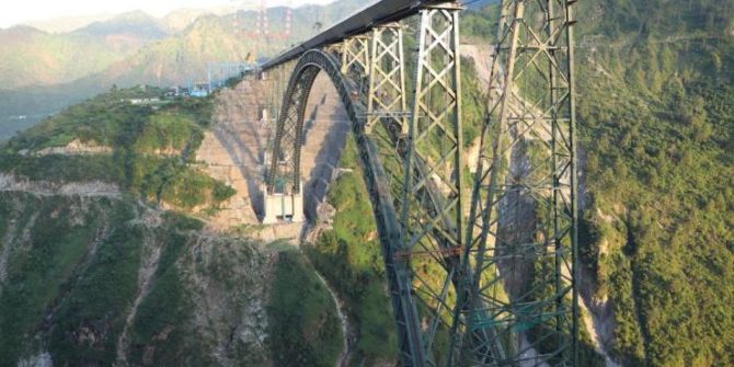
AMAZING EARTH: Say hello to the tallest rail bridge on the planet. You could fit the Eiffel Tower under it
On August 13 – just in time for the 75th anniversary of Indian Independence – India’s Chenab Bridge was officially inaugurated, and became the highest
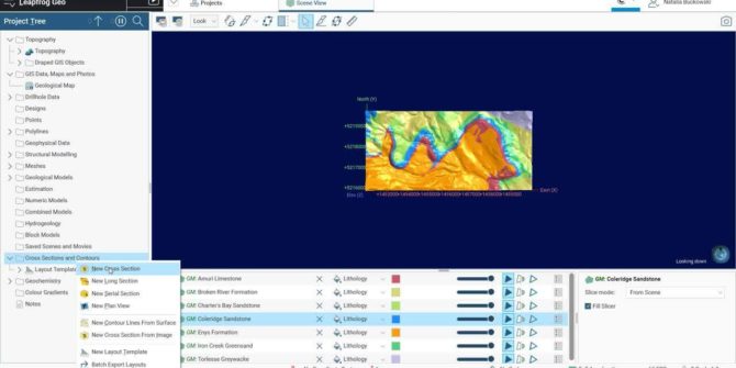
Add Plan View and Master Layout to Sections in Leapfrog 2022.1
We’ve made improvements based on customer feedback to improve workflows involving several serial sections, as well as stand-alone cross-sections. Now you can create a higher-level
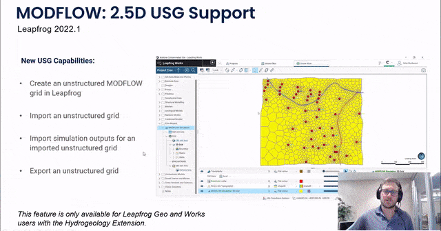
Improved Support for MODFLOW: 2.5D USG in Leapfrog 2022.1
Introducing a new, intuitive and interactive way to create quality 2.5D unstructured MODFLOW grids. Now you can define boundary conditions based on features within the
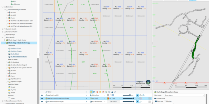
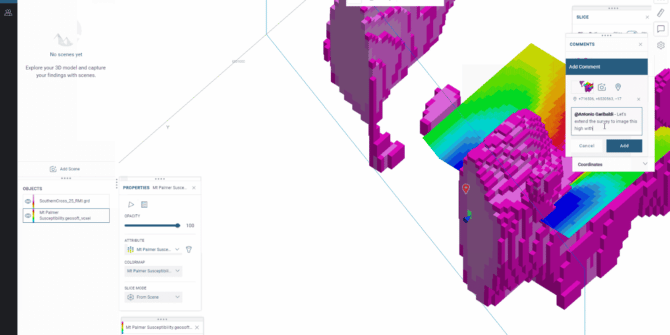
Visualising Block Model Labels in 2D in Leapfrog 2022.1
Expect significant improvements to Leapfrog’s scene visualisation technology with two important enhancements to block models - a 2D slice mode and the ability to have
Introducing next-level airborne survey technology using the latest in geophysics innovation
Expert Geophysics Limited’s latest innovation MobileMT is making waves in airborne surveying and exploration. What if you could see deeper into the earth, even in
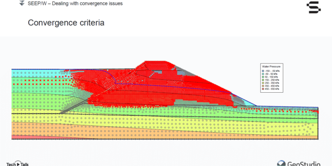
Mastering SEEPW Analysis: Interrogating Seepage Results and Dealing with Convergence Issues
Join Seequent's Vincent Castonguay in this free webinar, and listen to him: • Demonstrate how to plot flux sections; • Explain the importance of the
Harness the power of Seequent Central from Oasis montaj 2022.1
Advancing geophysical data management and collaboration As geoscientists increasingly work across multiple projects, they require better data management and visibility, and tools that help them
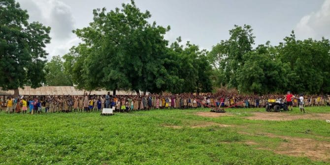
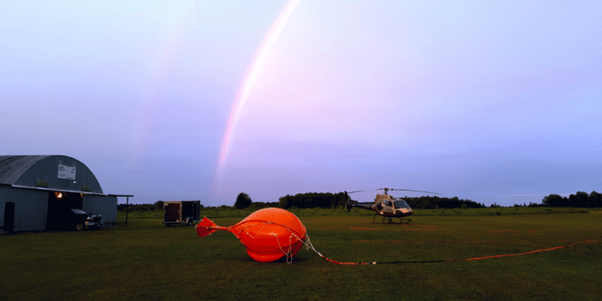
Towed Transient Electromagnetic Technology (tTEM) Improves Water Access in Developing Countries
The Aarhus University HydroGeophysics Group are dedicated to improving water access in developing countries. We are excited to share their story about their recent project