


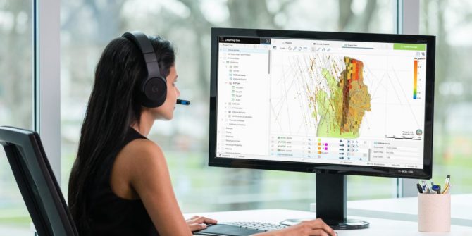
Creating resource estimates doesn’t have to be a headache
Enabling your teams to produce them internally is easier than you think You can understand your deposit in greater detail and save money Investors will
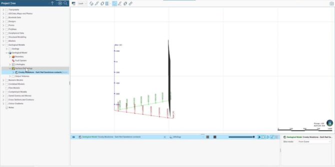
Using Leapfrog Works and Seequent Central in a BIM transportation project
This workflow will cover creating a geological model in Leapfrog Works, importing and handling the interaction of BIM designs and the subsurface 3D model, and
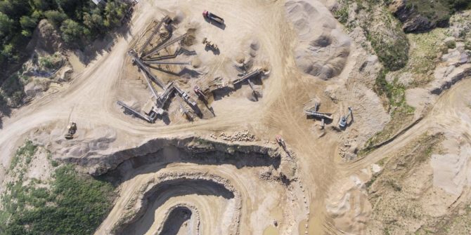
Juniors face ever tougher exploration challenges. Geological models can shift the balance back your way
Gain a clearer understanding of a deposit Ensure drill money is well spent Adjust exploration plans more rapidly Give investors the bigger picture Exploration is
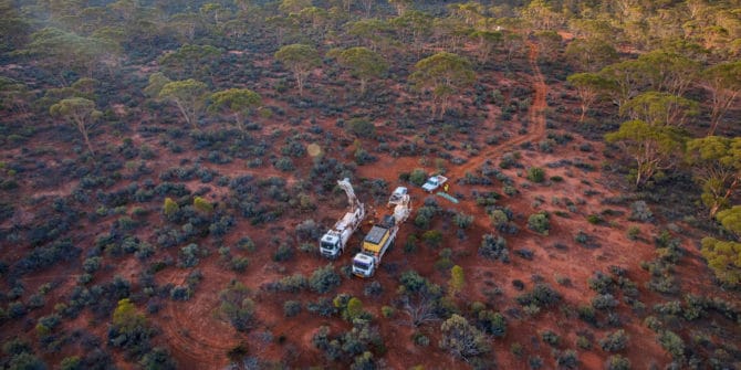
Your data can tell you where to drill, but are you helping it tell its story?
Kanita Khaled, P. Geoph, Geophysicist, Seequent Sara Deschamps, Product Owner, Seequent Drill planning is an unavoidably data-heavy process. Interpreting all that data successfully is a
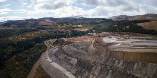
How geoscience data can work harder to help juniors explore successfully
Invest your organisation’s exploration resources more effectively Find an easier way to reduce geological uncertainty within the mineral exploration process Explore large areas of land
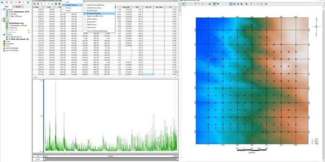
Oasis montaj 9.10 – Release Highlights
We have listened to your feedback, improved performance and optimized workflows whilst streamlining extensions and adding more flexibility and interoperability. Experience a much more comprehensive,
Are your teams in the field making or breaking your exploration ambitions?
Field seasons are short. How do you make the most of them? What’s the key to boosting field team productivity? What are the fixes to
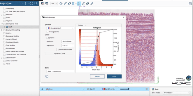
What’s new in Leapfrog Energy 2021.1
Leapfrog Energy 2021.1 sees major enhancements to the Leapfrog engine – building upon previous releases to deliver powerful new features and functionality. Ready to discover
