



What’s new
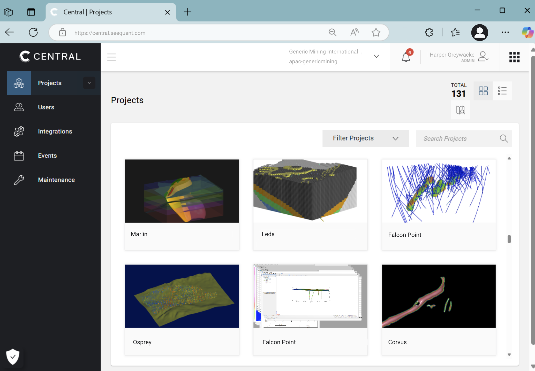
Seequent Central
The latest updates to Central are include core infrastructure updates and performance improvements.
Seequent Central brings enriched GIS data visualisation and analysis by enabling you to layer GIS objects and images on topography and easily reorder them to suit your needs.
This new feature is designed to provide you with enhanced capabilities to visualise and analyse your GIS data with greater efficiency and flexibility. We are confident it will empower you to achieve more in your data analysis and greatly benefit your workflow.
Help and support
Browse by topic or resource type
Help

Getting started

Seequent ID and account management
Subscriptions, licenses and billing

IT Administrators
Product help
Support
Seequent Learning

Online Learning
Remote & in-person training
Knowledge Base

Seequent Community
Support requests
Managing your support requests
Here at Seequent we are committed to seeing the possibilities and anticipating what is next. As such, we are continuously evolving to better serve you. You can now actively monitor and manage your support request via MySeequent using your unique Seequent ID.
Seequent Central supported interoperability
We understand how important it is for teams to connect and collaborate on one single source of truth, which is why Seequent Central supports a host of interoperability and integrations.
Contact us if you have specific questions about your workflow or a file type not mentioned here.
Seequent’s Data Room – enabled through Central
The Data Room enables you to upload and version control any files that are associated with your project. Some geoscience data types can be integrated directly from the Data Room into your modelling projects. The Data Room is your key to seamless interoperability.
Connecting from Leapfrog
Project versioning
Connect to Central from Leapfrog to enable version control of your projects.
Publishing and visualisation
Objects which are supported for publishing and visualisation are listed in the table below. These objects can be viewed in Central:
| Folder | Object |
|---|---|
| Topographies | Topography |
| Drillhole Data | Collar |
| Interval Tables | |
| Composites | |
| Downhole points | |
| Downhole structural data | |
| Planned Drillholes | Planned Drillhole Groups |
| Meshes | New User Mesh |
| Imported Mesh + textures | |
| Boolean Mesh | |
| Offset Mesh | |
| Triangulated Mesh | |
| Models | Geological Model |
| Refined Model | |
| Interpolants | |
| Multi Domain Interpolant | |
| Indicator Interpolant | |
| Combined Models | |
| Block Models | Block Model |
| Sub-Blocked Model | |
| Points | Contact Points |
| Intrusion Points | |
| Location Points | |
| Mid points | |
| Guide points | |
| Table Selection | |
| Designs | Mesh Designs |
| Line Designs | |
| GIS Data | Images |
| GIS Data | |
| 2D Grids | |
| Lines and Polygons | |
| Polylines | Polylines |
| Cross Sections | Section Layouts |
| Structural Data | Planar Structural Data |
| Lineations |
Connecting from Oasis montaj
In order to contribute geophysical data to your team’s Central project, you can connect Oasis montaj to the Data Room. This workflow is supported for the following data types and formats:
2D Geophysical grids
Partner integrations
IMDEX
Connect to data stored in IMDEX HUB IQ™ to enable dynamic visualisation of drilling data and progress in the context of your geological model. The connection between Central and IMDEX Hub is direct, so there is no need to handle files – you can be confident you’re working on the most up to date data.