


Enable True Ground-Informed Design in Civil 3D with OpenGround
Watch: Taylor and Loris talk about how to establish a dynamic link between OpenGround and Autodesk Civil 3D to automate geotechnical profiling and de-risk your
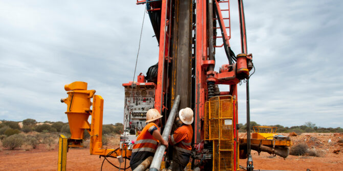
From raw data to 3D models – Mastering drillhole and surface mapping with Target Essentials software
Watch: Farzaneh talks about how to master drillhole and surface mapping in Target Essentials, from importing and validating raw data to creating plan maps, cross
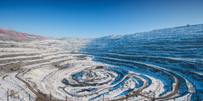
Machine learning-powered geological modelling: A data-driven approach with Driver
Watch: Christian and Geoff talk about how to use Driver within Seequent Evo to rapidly analyze drilling data and integrate AI-driven structural insights directly into
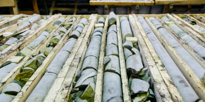
From core images to RQD in minutes: A look at Imago Image Analysis
Watch: Dani, Sophie, and Adriana talk about how to use Imago Image Analysis to quickly and consistently turn core tray images into quantitative, repeatable RQD
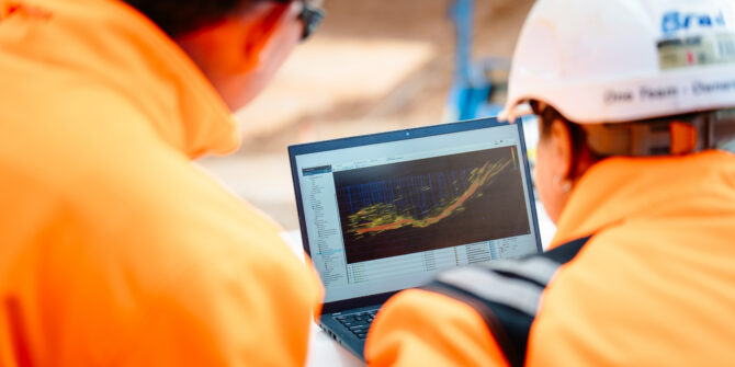
Data-driven geoscience: Connect, visualise, interpret, and model the subsurface
Watch: Dani Demuro, Isaac Antuna, and Alexei Bezborodov discuss how the latest advances in MX Deposit, Evo, Imago, Central, and Leapfrog Geo connect your geological

Dr Thomas Krom on why similar quakes cause different impacts | Newsweek
As Venezuela experiences a major earthquake, Dr Thomas Krom explains why magnitude is only part of the story behind earthquake impacts and risk.

AI can unlock legacy data for discovery I Engineering News
AI is helping transform mineral exploration by unlocking legacy geoscience data and revealing new insights for faster, more informed discovery.

Watch: Leapfrog Edge explained
Watch: Leapfrog Edge Explained - The intuitive geostatistical software designed to integrate resource estimation directly with your geological model. Seamlessly transforming raw data into confident,