


Mentor Walks to give women access to female leaders in Christchurch
Christchurch, 3 May 2022: Senior and diverse Christchurch female leaders will ‘walk and talk’ with aspiring female leaders when Mentor Walks launches its first New

Making your data count, from day one to year 100
How can transportation owner operators transform a mass of project data into an enduring resource for a lengthy and successful whole life operation? Penny Swords
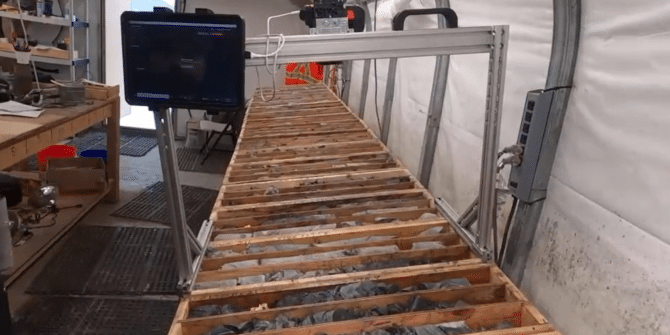
MX Deposit & Imago logging and capture in action
and to make more accurate ore/waste decisions in mining. See how MX Deposit and Imago are used in the field by Freegold Ventures Limited do
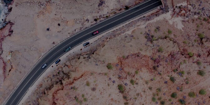
From reliable to resilient. Can a shift in thinking help extend the safe life of transportation assets?
All around the world, legacy transportation infrastructure is showing the strain of age, but still has to keep running – reliably and safely. Can owner
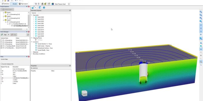
Mastering 3D Analysis: Groundwater Flow in Shaft and Tunnel Design
Shafts and tunnels are critical for the construction and operation of mining, transportation, and sanitation facilities. The design of these shafts and tunnels hinges on
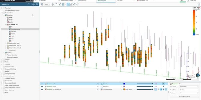
How to handle CPT data in Leapfrog Works: Soil Characterisation Using CPT Data
Watch as Customer Solutions Specialist - Geotechnical, Sudur Roy, guides you through the calculation tool of Leapfrog Works. In the first part of the mini-series
Green fuel from green power: How geothermal can produce hydrogen
Hydrogen is a hot commodity in the energy transition. It can be used in fuel cells for cars or blended for home heating. However, it
Striking gold sustainably in South Dakota’s famous Black Hills
Working within a National Forest, they’re using non-invasive exploration techniques and software to create a sustainability plan beyond prospecting – to production and reclamation. Overview