


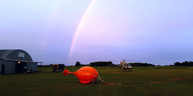
Introducing next-level airborne survey technology using the latest in geophysics innovation
Expert Geophysics Limited’s latest innovation MobileMT is making waves in airborne surveying and exploration. What if you could see deeper into the earth, even in
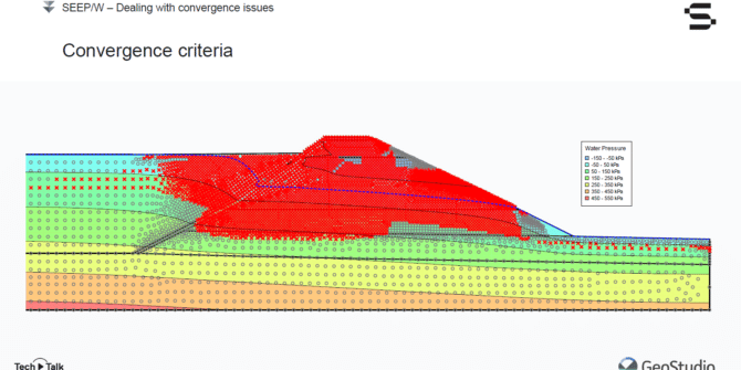
Mastering SEEPW Analysis: Interrogating Seepage Results and Dealing with Convergence Issues
Join Seequent's Vincent Castonguay in this free webinar, and listen to him: • Demonstrate how to plot flux sections; • Explain the importance of the
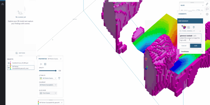
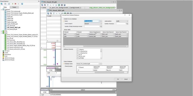
Harness the power of Seequent Central from Oasis montaj 2022.1
Advancing geophysical data management and collaboration As geoscientists increasingly work across multiple projects, they require better data management and visibility, and tools that help them
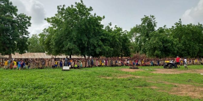
Towed Transient Electromagnetic Technology (tTEM) Improves Water Access in Developing Countries
The Aarhus University HydroGeophysics Group are dedicated to improving water access in developing countries. We are excited to share their story about their recent project
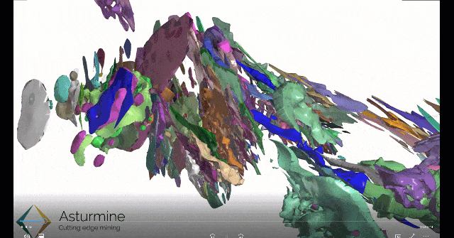
How resource estimation in Leapfrog Edge cut modelling time by 30%
Asturmine is a mining consulting company that switched from explicit modelling and manual data entry to a connected, dynamic workflow – improving sustainability and efficiency
UXO Marine quality control, processing, and target modelling improvements in Oasis montaj 2022.1
This webinar briefly demonstrates the new and improved UXO Marine features in the Oasis montaj 2022.1 release, including the new and improved quality control (QC)
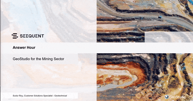
GeoStudio Answer Hour – July 2022: Understanding GeoStudio’s capability to analyse key challenges of the Mining sector
GeoStudio's capability to successfully capture the manifold aspects of mining engineering problems will be explored during this webinar. Watch technical expert, Sudur Roy, in this
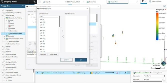
Generating Potentiometric Surfaces and other useful workflows with groundwater elevation data
This short video will teach you how to: Import groundwater gauging data into Leapfrog Query data by a specific date and set of wells Generate