


Communicating insights with stakeholders is crucial in any infrastructure enterprise, but transportation schemes have an extra layer of complexity to cope with.

Janina Elliott
Global Central Technical Lead, Seequent
Large scale transportation projects are invariably complex, multi-year engagements that must successfully connect a wide range of stakeholders in order to fulfil targets, hit deadlines and meet budgets. That will include project owners, multi-disciplinary contractors, sub-contractors, the public and more.
They may be separated by geography, responsibility or by expertise, but all have the same need to be connected simply and transparently for effective collaboration.
Throughout the lifecycle of the project, from initial studies and site investigations, through to design, construction and eventually operation, one guideline holds true: the data provided by each of those stakeholders must be consistently organised, easily accessible, and contextually understood if it is to provide the maximum benefit to all.
However, across the lifespan of a transportation project, as its progress takes many twists and turns, this “line of sight” from start to completion is frequently obscured.
Obstructions can relate to the size or intricacy of the design as well as economic and political factors. But more often, it’s the lack of consistent data flow and communication that contributes to delays and increased costs.
Subsurface conditions demand an extra level of explanation
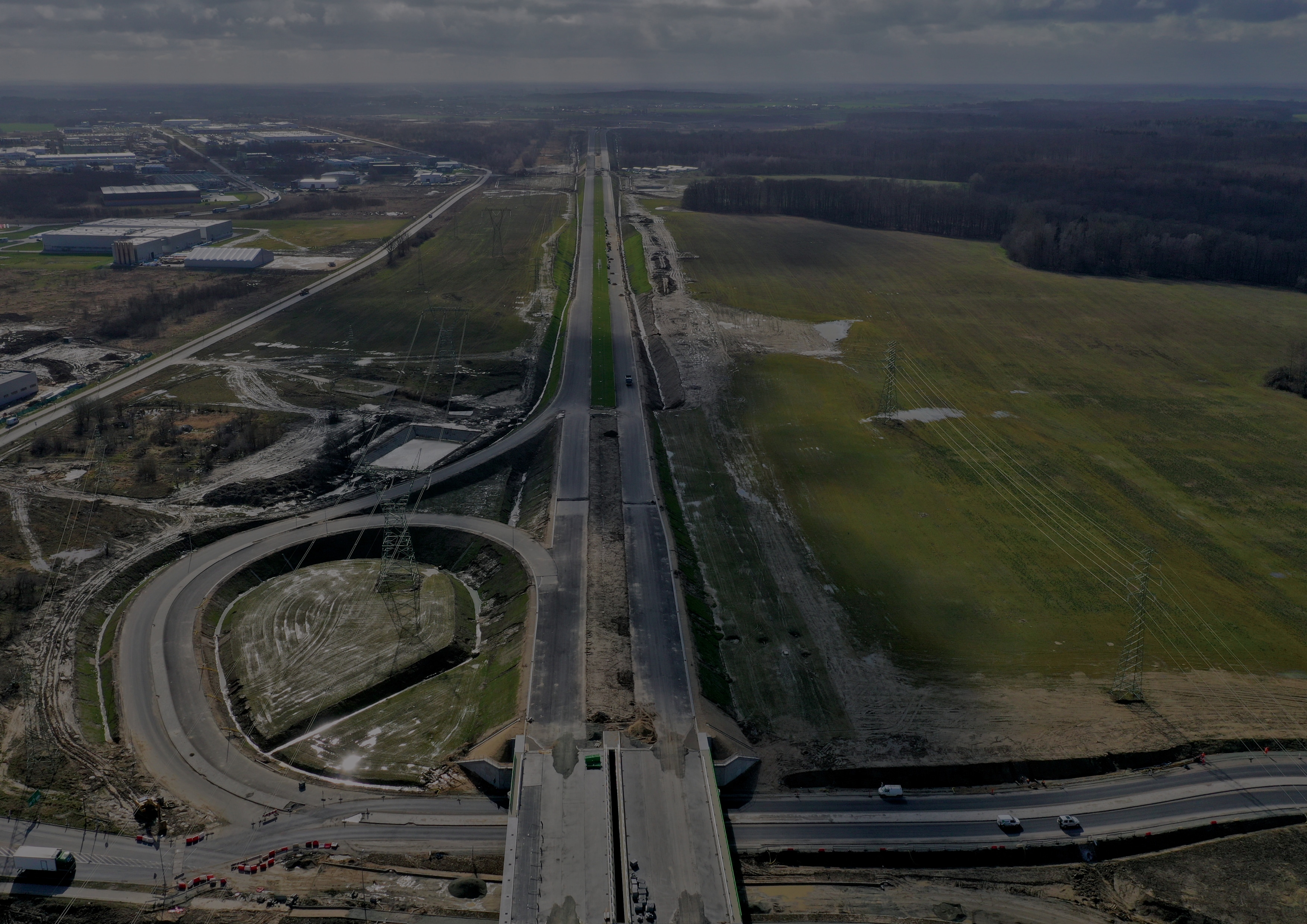
Transportation infrastructure is not the only industry to rely on multi-disciplinary interaction and the use of consultative and contractional services. However, it is confronted by an added layer of complexity – the linked interaction between the above and below surface dimensions.
For geoscientific contractors and consultants this constitutes a real challenge. They commonly enter the conversation at variable stages and may only be privy to a disconnected subset of information, often presented in an unstructured or 2D format.
That nature of transportation projects and the likelihood that they cover large distances across multiple terrains only increases the geological and subsurface issues that arise, and therefore the degree of data that needs to be gathered, interpreted and understood.
To provide true insight, contributing parties need to be able to navigate a version-controlled project history and understand how the data and models were developed, who created them and why decisions were made – all without compromising the security of the information accessed.
A cloud-based 3D data visualisation system can help minimise the risk of miscommunication, data loss, delays and cost overruns. And while sharing data is great, to get the most out of it, we also need to communicate with clarity and engagement. Using a single, central source of data for web visualisation, notification, scenes and comments can make your project history come alive for everyone involved – and is just the start.
For the full version of this feature, with more ideas, practical tips, product suggestions and a case study, download our eBook.