


A mining company’s digital transformation journey to be future fit and AI enabled
Moroccan mining company Managem is undertaking an ambitious three-year project to digitise its historical data.
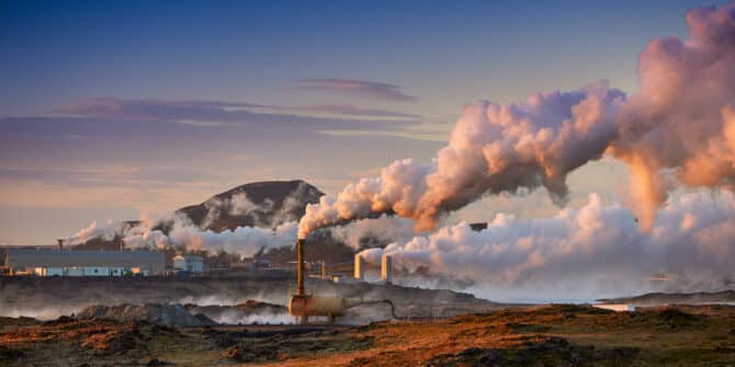
Geothermal’s potential to be a pivotal player in the energy transition
As the world grapples with the need to transition to cleaner and more sustainable energy sources, geothermal energy stands out as a promising contender to
GeoStudio Answer Hour (November 2024): Defining Conditions Above the Water Table
Webinar: Our technical experts reviewed the key features in GeoStudio for defining conditions in the unsaturated zone and answered questions from attendees about this topic

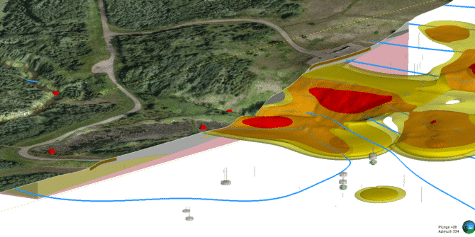
Leapfrog Best Practices for Modelling: Efficient structuring of Leapfrog Projects.
Dive into the world of Leapfrog Geo with our webinar, "Leapfrog Best Practices for Modelling: Efficient Structuring of Leapfrog Projects," hosted by the Kat Gall,
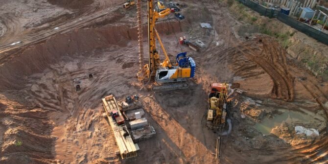
Accelerate infrastructure: streamlining projects with AI and automation
The infrastructure sector is increasingly pressured to complete projects more quickly, efficiently, and within budget, highlighting the importance of resource-saving technologies.
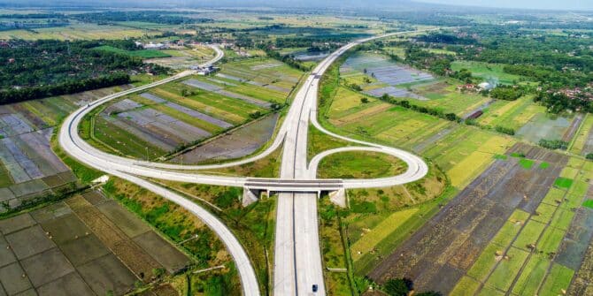
Technology saves Sumatran expressway project 120 days, avoids $180m in losses
The adoption of advanced digital tools on the $3.5bn Trans-Sumatra Toll Road project played a “pivotal role” in meeting the expressway’s engineering challenges.
Put the data to work: Leverage 3D modelling tools to maximise the value of your subsurface data
Leverage Seequent's 3D modelling tools to maximise your subsurface data.

Leapfrog 2024.1 Polyline Attribution
Join Jeff McKeon, Senior Geologist, as he explores the latest feature within Leapfrog 2024.1, Polyline attributes.