


How to extract maximum value from your mine’s geoscientific imagery
Transform core images into meaningful insights, more discoveries and confident decisions with cloud-based software Imago. A better understanding of our geology is the true value
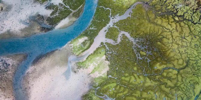
Seequent acquires DRIVER, an innovative solution for 3D analysis of geochemical data for insights and anomaly detection
Seequent has just signed a deal with the Canadian headquartered and listed company Minerva Intelligence Incorporated (Minerva), a mining software business, to acquire their product

Save time and extract meaningful insights from your geoscientific imagery with Imago
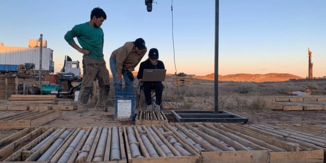
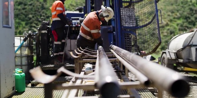
Learn how junior explorers, Clean Air Metals leverage data management solution Imago to access, collaborate, and validate data insights from their high-quality core images, saving
Exploration Special | From Drillhole to Decision, Faster
Watch our data management expert and Senior Geologist, Stephanie Vanos, provide a show and tell of Seequent's data management solutions Imago, MX Deposit, Central and

Setting the standard in geophysical modeling
As new technologies are being developed to acquire geological data, Seequent is creating better ways for geoscientists to process and interpret it. We help the
Connect your exploration teams with the power of a fast and agile workflow.
Intro: Joanne Demmer shares some of the challenges in her role as a geophysicist and how a data-driven collaborative approach can better support exploration success.
How effective workflows can aid geophysical exploration, and the challenges they should address.
How effective workflows can aid geophysical exploration, and the challenges they should address. Geophysics plays a vital role in mineral exploration. It allows large areas
One source of truth with MX Deposit
Learn how junior explorers, Apollo Silver leverage cloud-based data management solution MX Deposit to collect, manage, share and integrate that data to create dynamically updated