


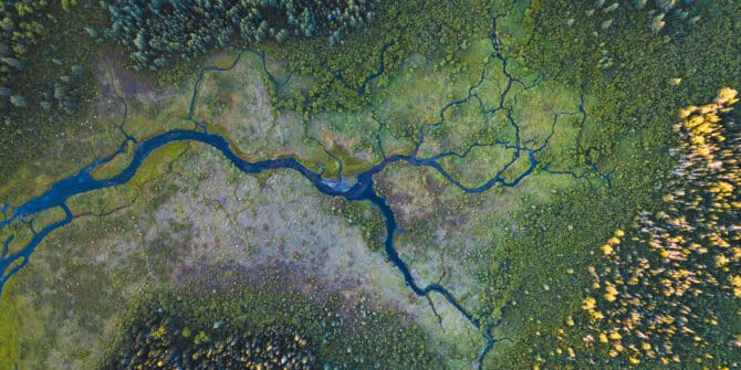
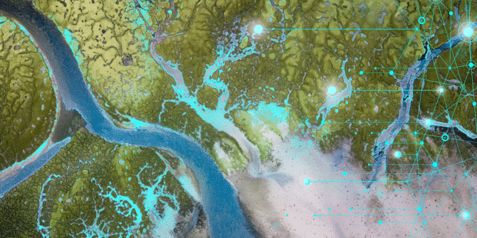
The strategic flow: Why water is the smart money in 2025
In 2025, the water sector is poised for significant movement, and it’s not just about environmental stewardship; it’s about strategic business advantage.
GeoStudio Answer Hour (November 2024): Defining Conditions Above the Water Table
Webinar: Our technical experts reviewed the key features in GeoStudio for defining conditions in the unsaturated zone and answered questions from attendees about this topic

Leapfrog 2024.1 Polyline Attribution
Join Jeff McKeon, Senior Geologist, as he explores the latest feature within Leapfrog 2024.1, Polyline attributes.
Digitalisation key to EU water challenges, innovators say
Seequent supports Joint Statement from water innovators which supports development of an ambitious European Union water strategy.
Is there an easier way to tackle one of the world’s most common industrial pollutants, and safeguard water supplies?
Once released into the environment, dense nonaqueous phase liquids (DNAPLs) can become a major challenge to water safety.
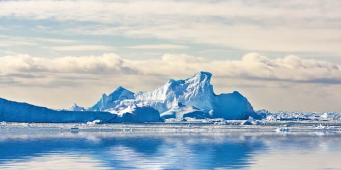
Understanding the seafloor may unlock the secrets of disappearing ice sheets
How quickly the world’s ice sheets melt is influenced by the shape of the seafloor below them.
Democratising hard science for environmental gains
Environmental management poses ethical, reputational and legal risks that can be addressed by ensuring data sharing, transparency, and improved collaboration.
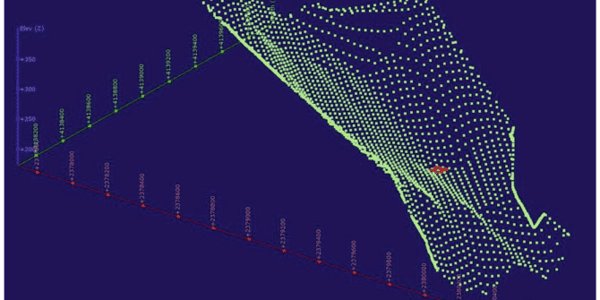
Using GeoStudio to conduct 3D numerical analysis of groundwater seepage and stability at the Ripley Landslide site
Landslides come with significant potential for loss of life and damage to integral infrastructure. That’s why geotechnical engineers dedicate significant time and effort into preventing