
Kanita Khaled, P. Geoph, Geophysicist, Seequent

Sara Deschamps, Product Owner, Seequent
”Great drilling results are the best way to drive investment and attract interest from majors or mid-tiers looking to engage in joint venture partnerships.
- Drill planning is an unavoidably data-heavy process.
- Interpreting all that data successfully is a major challenge
- Visualising it in one easy-to-use system is a major advantage
- It leads to better collaboration and consistency
- And avoids the errors and delays from competing data formats
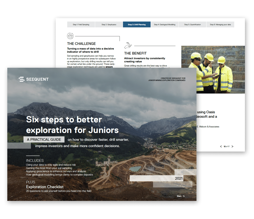
In our previous two junior mining exploration blogs we examined how new software solutions can boost the ability of soil sampling and geophysics to narrow in on highly prospective areas, ready for subsequent follow-up exploration. (We elaborate on both of those topics and several more in our “Six Steps to Better Exploration for Juniors” eBook. You can download it for free here.
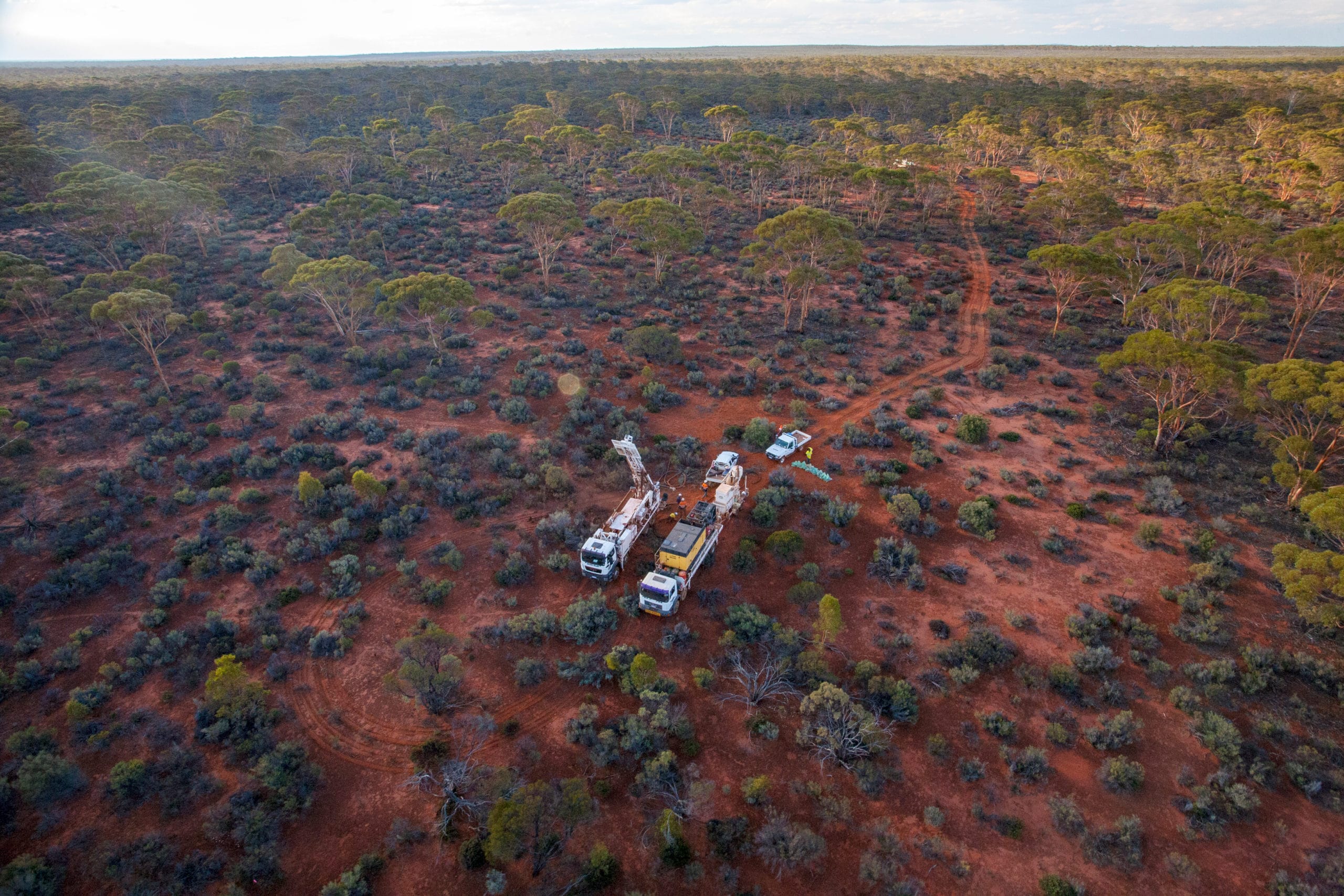
But prized though those techniques may be, only drilling can truly tell you for certain what lies under the ground. And drilling is not only expensive but often weighed down with a mass of data that needs to be sieved, standardised and correctly interpreted. The successful planning of proposed drill holes is therefore a critical challenge for juniors. It must be efficient and economical; done with the goal of maximising the information you are able to collect with limited resources; and ideally while limiting environmental impact.
Where to place a new drill hole must be based on all the information collected to date. That includes surficial geology and geochemistry, geophysical interpretations and inversions, along with other data such as satellite imagery, topography, claim boundaries, infrastructure, road access, and even local weather conditions. The list goes on…
But when all that data is gathered, you still need to be able to visualise it, together, in a single, easy-to-use system. Only then can you build the big picture that will determine the right locations and angles for proposed holes, prioritise them in order of best potential results, and plan a sequence in which to complete the drilling.
Our tips for drilling smarter
At Seequent we’d say there are four decisive steps to fruitful drill planning, and aligning your data in a way that will champion it.
1) Collaborate efficiently
Planning new drill holes is a highly collaborative process involving team members of varying disciplines, often favouring disparate software packages to view data. Getting them all on the same page by standardising your company’s shared data formats will allow the team to benefit from efficiency gains by saving time lost converting data formats, and reducing costly errors related to improper data conversion or corruption.
2) Organise your data
Organising the data for exploration projects that contain both historic and ongoing drill campaigns can be a formidable task. However, for informed decisions to be made, it is crucial to visualise and analyse all historic and current drilling data in a unified 3D context, alongside other geoscientific information.
3) Leverage public geoscience knowledge
For early-stage explorers, especially in remote greenfields exploration, financial or infrastructure constraints may not permit a large geophysics or geochemistry campaign to complement the drilling program. In such situations, interrogating publicly available geoscience data can help you assess where a higher resolution geophysical survey may be needed before continuing further drilling.
4) Be consistent
Inconsistent core logging practices increase the likelihood of erroneous interpretation of downhole data, leading to improper placement of future drill holes. A well-communicated core logging convention among the exploration team can resolve this.
One solution we recommend to support all the above is Target. It’s a multi-disciplinary environment that can visualise many different types of geoscientific data formats, making it the best platform to integrate all your exploration information in one holistic view. Its capabilities and workflows are also tailored to early-stage exploration and junior explorers, making it ideally ‘fit for purpose’ for this stage of the mining lifecycle.
Importantly, it’s part of the Seequent ecosystem, so when your project needs to advance, you can incorporate Leapfrog Geo and Edge to carry it through the feasibility stages, or add Central to support more advanced collaboration workflows.
Create value for your partners
Great drilling results are the best way to drive investment, which in turn allows us to drill more! Proven successful results also attract interest from majors or mid-tiers who are looking for advanced projects to engage with in joint venture partnerships, and so mitigate their own risk in the earlier stages of exploration.
By designing and carrying out creative, effective and economical drill programs, successful juniors can consistently create value for their partners and investors by advancing early-stage projects from initial discovery to the “ready for pre-feasibility” stage.
If you want to know more about how Target and Oasis montaj can work together to make this possible, check out our free eBook.