search

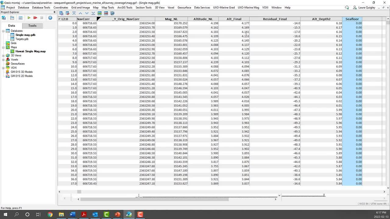
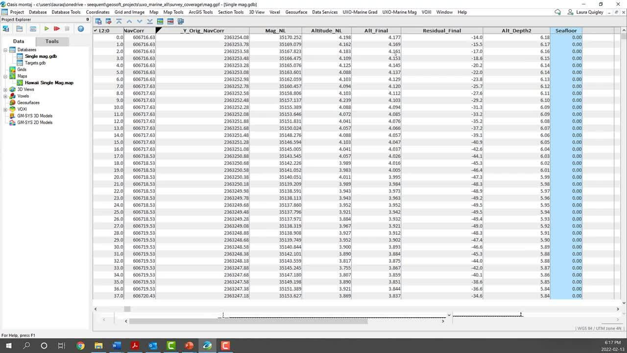
Calculate your marine survey coverage with the Survey Coverage tool in the Oasis montaj UXO Marine extension.

Using the sensor footprint at the seafloor, and the sensor altitude, easily determine what percent of the survey area has been surveyed and visualise this coverage on a detailed map. This information can be used to assess where infill lines may be needed.

Overview

Speakers

Laura Quigley
Technical Anaylist – Seequent

Duration

5 min
See more on demand videos

Videos

Find out more about Oasis montaj

Learn more

Video Transcript

The video transcript gets copy and pasted here

Free training and support

Grow your geoscience knowledge, connect with peers, and refresh your skills

Seequent Community

Discover new opportunities, connect with peers, and share insights and best practices with others in your field.

Visit Seequent Community

Learning Centre

Get started fast or upskill whilst working with our onboarding and advanced free eLearning courses.

Visit Seequent Learning Centre

Seequent Help

Find answers to your technical questions and get the most out of your product, with our in-depth product help information.

Visit Seequent Help