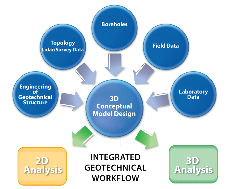
Build 3D conceptual models & import data efficiently with PLAXIS Designer
An easy-to-use application for building 3D conceptual models that helps overcome the challenges of merging and analysing data.
See pricingCreate 3D conceptual models
Manipulate 3D geometry to bridge the gap between raw data and conceptual models. PLAXIS Designer makes it easy to edit existing geometry to represent the integration of new geotechnical designs with existing topology.
PLAXIS Designer also helps handle intersections of various surfaces, so 3D geometry can be represented accurately.
You can produce exact meshes when objects overlap, and pitchouts become easy to take care of. In addition, you can simplify geometry by filtering out unwanted or unneeded sections.
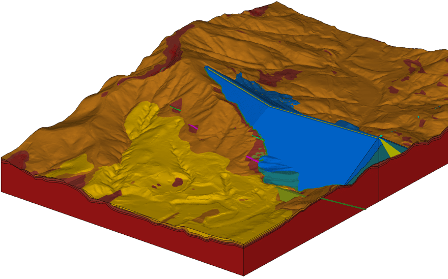
Produce visually appealing models
The powerful 3D immersive graphics engine enables you to build and manipulate simple to complex models.
You do not need to make additional manipulation to access the report-ready results.
The digital twin/model visualizations of designs allows you to share the models and solutions, as the data interoperates with other Bentley analysis and design applications.
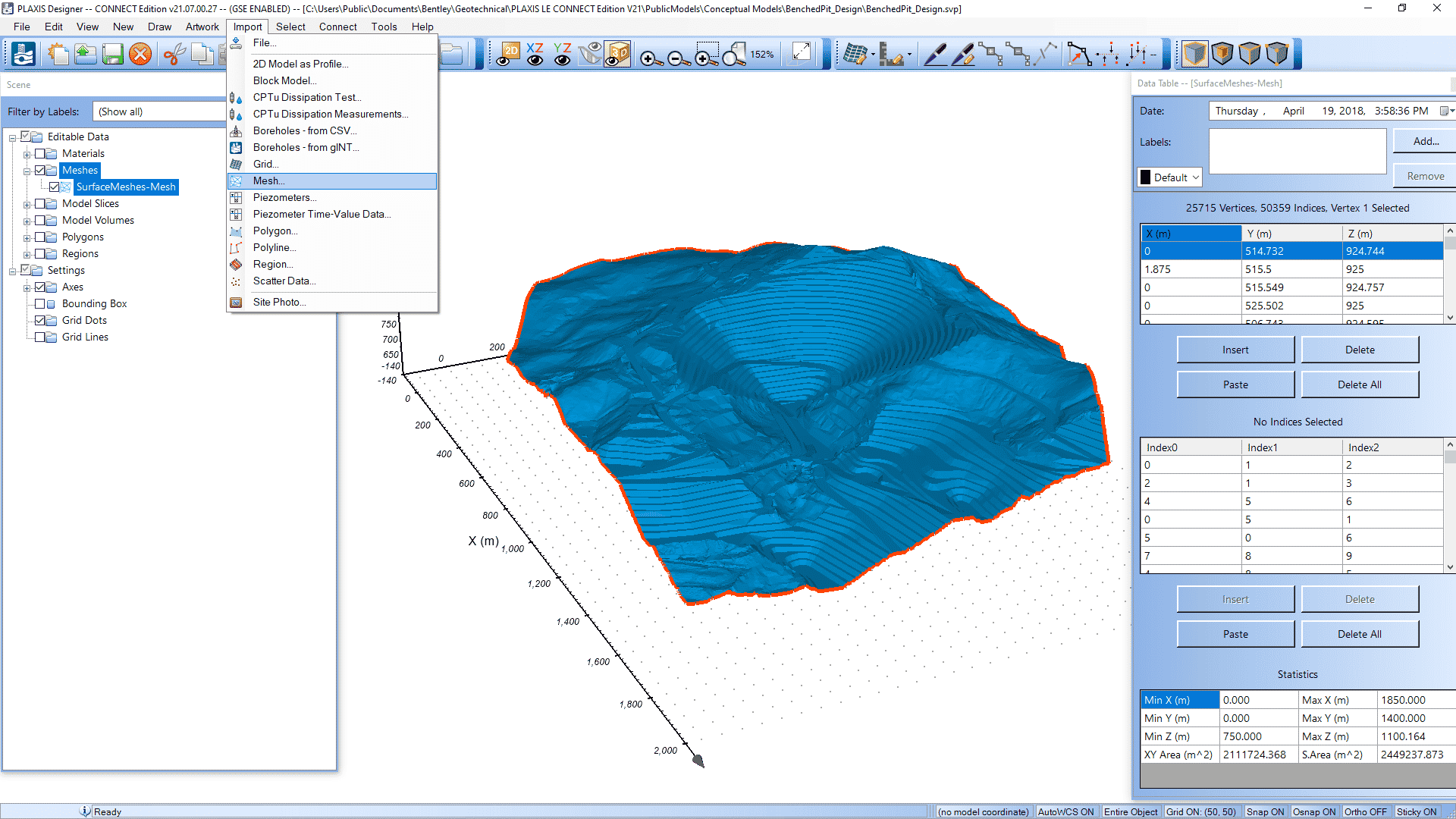
Import data efficiently
Create 3D numerical models simply and efficiently. Import geostrata based on borehole data, or from one of many different file formats.
Surfaces can be represented as grids or as triangulated surfaces (TINs). Once 3D geometry is created, it can be exported to numerical models in the form of 2D slices or as full 3D models.
Locate boreholes on a site, visualize in 3D and integrate with design or topology data, while allowing the development of fence diagrams and 3D interpolation of geostrata layers.
Related Stories
See all

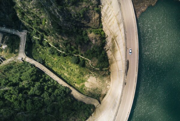
Seeing beneath the surface: why subsurface insight is reshaping infrastructure
Advanced 3D geological modeling integrates subsurface data to cut risks and costs, enabling safer, more…