


How OpenGround helped Schnabel Engineering build a ground-breaking project platform
Discover how Schnabel Engineering found new efficiencies, unlocked collaboration, and delighted clients with OpenGround.

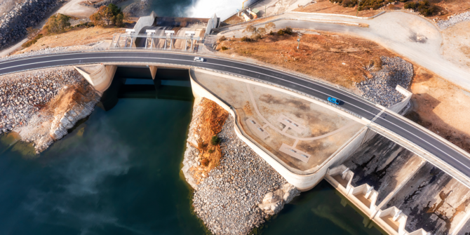
Understanding Louisiana DOTDs Strategic Cloud Migration
Learn how the Louisiana Department of Transportation (DOT) has implemented OpenGround and strategically utilised its 'connected' functionalities.

Ground to Cloud Webinar | A Dive into Langan’s Use of OpenGround
Gain insights from Langan's team about how they utilize the platform’s features, selection process, cooperation with the OpenGround team, and their targets for the future.
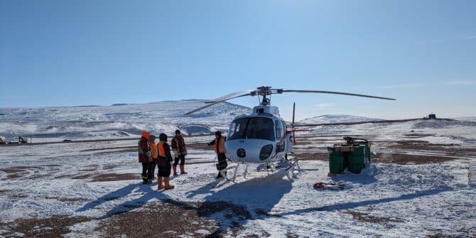
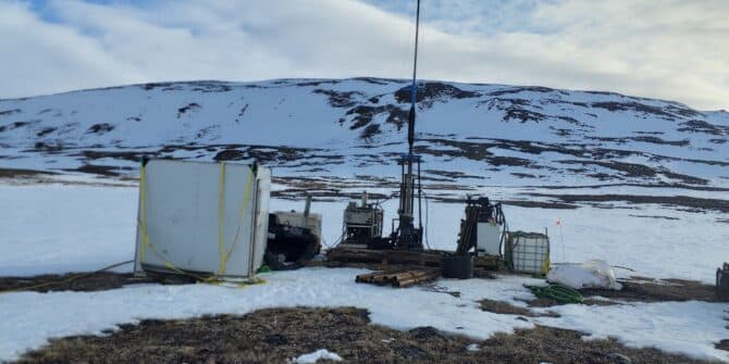
HATCH charts their digital future on one of the world’s most remote mines
HATCH, a global consulting engineering firm shares insights on their successful transition to OpenGround - Seequent’s cloud evolution of gINT. To thrive in a digital

Ground to Cloud | Featuring Schnabel’s Journey with OpenGround
Our featured guest for this webinar is Schnabel Engineering, an ENR Top 250 Design Firm that specializes in geotechnical engineering services. Schnabel has adopted OpenGround
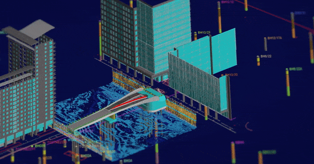
Arcadis utilise digital modelling & analysis for: Iconic lifting footbridge in London’s Canary Wharf
Through groundbreaking digital modeling and analysis, Arcadis, achieved unprecedented efficiencies, reducing ground investigation costs by 30% and design costs by 12%. Hear from Andrea Gillarduzzi,
Ground to Cloud | Featuring HATCH’s Journey with OpenGround
HATCH, a global consulting engineering firm, have embraced OpenGround and Data Collector, and guided us through their experience with these tools. This includes their decision-making

A Connected Geotechnical Workflow: The Key to Safe and Sustainable Infrastructure Projects
Gain knowledge of: Integrating and visualising available subsurface data Interpreting subsurface data to aid geotechnical analysis Managing geoscience data and collaborating to refine project design