


What’s new in GeoStudio 2025.1
Check out GeoStudio's latest release showcasing new functionalities and enhancements to our core tools. This version introduces Python scripting, enabling more efficient workflows, and 3D

Tunnelling in the digital age: rethinking subsurface infrastructure | cbnme.com
Bentley Systems’ Oana Crisan discusses how digital transformation and connected workflows are helping teams mitigate risk, boost collaboration, and drive project success below the surface.
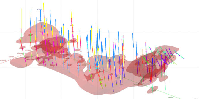
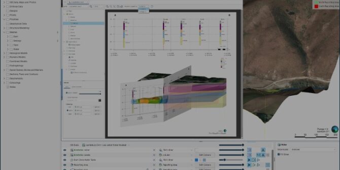
Seequent out for faster, smarter geological modelling and resource estimation with Leapfrog 2025.1
Seequent, The Bentley Subsurface Company, has unveiled what it says is a landmark release of its Leapfrog solution for the mining industry.

Oasis montaj 2025.1 What’s New
Join Laura Quigley as she walks through what’s new in Oasis montaj 2025.1, an update that reaffirms our commitment to advancing geophysics and improving data
Critical Minerals Series: 3D Modeling for Copper Exploration – From Porphyry to Sediment-Hosted Deposits
As part of the Critical Minerals Series, this webinar explores how 3D modelling enhances copper exploration across diverse deposit types. From large-scale porphyry systems to
Seequent’s Visible Geology inspires 90,000 users worldwide
The groundbreaking web application has been used by nearly 90,000 earth science students, educators, and enthusiasts from 117 countries in the 12 months since launch.
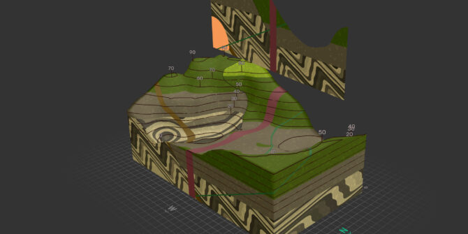
Streamlining your Structural Modelling in Leapfrog 2025.1
Join Product Manager, Andrew McLoughlin as he deep dives into Leapfrog 2025.1. that features significant enhancements to Structural Trends.
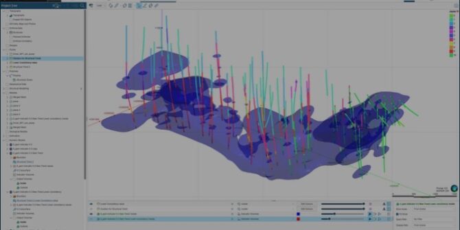
Streamlining your multi-domain set-up and rotation management in Leapfrog 2025.1
Join Product Manager, Silivia Misk, as she demonstrates that latest improvements in Leapfrog 2025.1 and streamlines the set-up of multi domains.