


Learn about Region Model Building using Public Data in GM-SYS 3D
Overview
- Define model area
- Extract Crust 1.0 horizons using Data Services tools
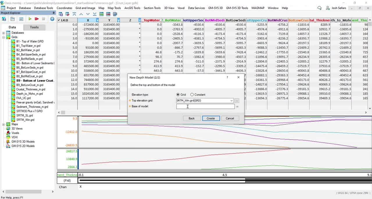
- Adding layers to your GM-SYS 3d model
- Assigning physical properties
- Working with outputs
Duration
15 min
See more on demand videos
VideosLearn more about GM-SYS
Learn moreVideo Transcript
The video transcript gets copy and pasted here