


Learn about a Property Boundaries Workflow in Leapfrog Geo.
The objective
Sharply defined volumes are sometimes required for reporting; within property and claim boundaries for example.
This Tip & Trick describes a workflow for creating a geological model from property outlines whose output volumes can be evaluated onto a block model for reporting.
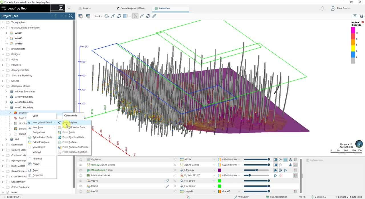
The workflow uses lateral extents added to geological model boundaries to form hard-edged shapes.
The workflow in a nutshell
- Import or digitise polylines or GIS lines of the property outlines
- Create geological models for each of the property outlines
- Add the polylines as lateral extents for each geological model boundary
- Create a geological model for full project extents
- Create and activate intrusion surfaces from each of the property boundary volumes
- Evaluate the full project model output volumes onto a block model for reporting
Duration
9 min
See more on demand videos
VideosLearn more about Leapfrog Geo
Learn moreVideo Transcript
transcript here