search

Airborne Quality Control Extension

The montaj™ Airborne Quality Control extension provides essential functionality for planning an airborne survey, and meeting basic tender specifications.

The extension includes a flight path planning function, the ability to monitor the survey progress, and to perform quality control (QC) tests.

The Flight Path Planning function a flight line plan tailored to the shape and size of the survey area. Boundary maps of the survey area can be imported from an AutoCAD DXF file or digitized as polygon files. Planning controls specify the direction, starting reference point, and distance between flight lines for the airborne survey area.

The QC statistical function generates and prints a statistical report for meeting tender or operational specifications. A built-in mapping wizard automatically displays QC results.

Quality control functions provide the ability to perform tests for altitude deviation, flight path deviation, flight line separation, sample spacing, diurnal drift and magnetic noise.
Use Airborne Quality Control to:

  • Generate flight path map of planned survey
  • Display survey statistics
  • Display survey line distance
  • Create intersection tables
  • Perform altitude deviation QC test
  • Perform flight path deviation QC test
  • Perform flight line separation QC test
  • Perform sample spacing QC test
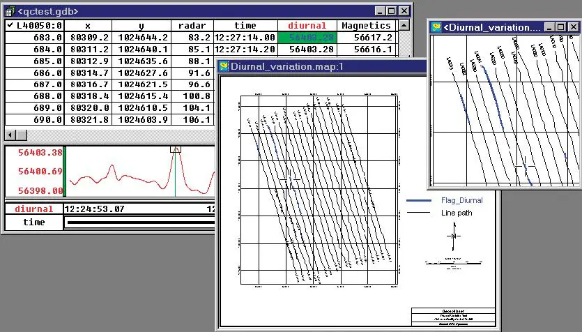
  • Perform diurnal drift QC test
  • Perform magnetic noise QC test,
  • Map and print QC results.

Flight Path Planning

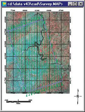
Flight Path Planning creates a flight line plan tailored to the shape and size of the survey area. Boundary maps of the survey area can be imported from an AutoCAD DXF file or digitized as polygon files.

Planning controls specify the direction, starting reference point, and distance between flight lines for the airborne survey area. The software plots both regular flight lines and tie lines. The flight planning utility produces a database and a map of the flight lines that can be viewed, printed or exported.

Database Statistics Reporting

Database Statistics extends the statistical reporting functions included in the basic Oasis montaj system. The QC statistical function generates and prints a statistical report for specific channels or an entire database.

The statistical report provides the number of dummies, minimum, maximum, mean and total distance flown for each channel and for the whole database. The survey line distance tool displays the total distance flown for a specific flight line.

Airborne Quality Control

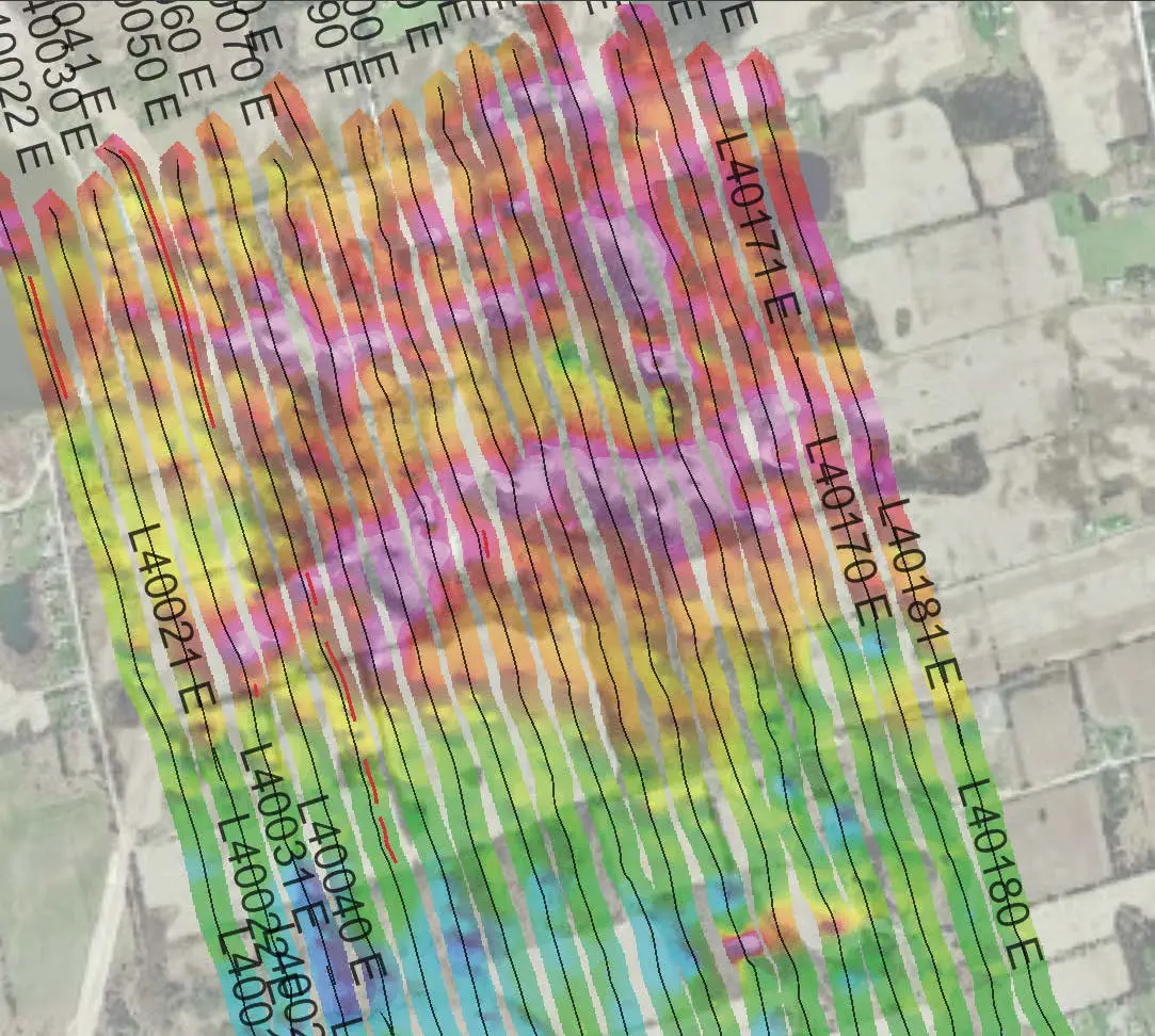
Airborne Quality Control functionality identifies line sections that do not meet survey specifications. Examples include evaluating the diurnal variation, altitude deviation, flight path deviation, and flight line separation of each point along the flight lines to ensure they are within specification.

Points that do not meet specifications are identified by a coloured symbol using a colour that corresponds to the type of error. These results are plotted to a map so that the user can visualize the sections of the survey that must be re-flown.

Key Functionality

The montaj Airborne Quality Control extension provides three main functions:

  • Flight Path Planning
  • Database Statistics Reporting
  • Airborne Quality Control.

The montaj Airborne Quality Control extension requires Geosoft’s Oasis montaj.

See all Oasis montaj extentions

Transform geophysics, geology, GIS, and geochemistry data – all in one place.

View Extensions