


One of our most highly attended webinars - an introduction to Res2DInv 5.0.
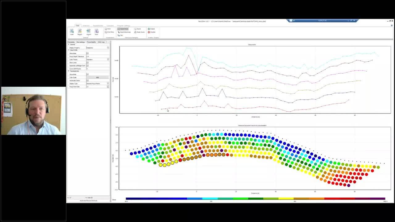
Join our lead Res2DInv developer as he takes you on a journey through the software’s history and transition to a Bentley company after being an AGS product. In this insightful session, our expert, Kenni, touches on the fundamentals of resistivity surveys before diving into the main highlight: the user-friendly tabbed-based interface of Res2DInv 5.0 and how quickly data can be processed and inverted. Kenni also showcases the advanced settings and visualisation capabilities of Res2DInv 5.0, making model setup, data analysis, result comparison, and re-processing easier than ever.
During the live event, the audience had a lot of questions. While time constraints limited our responses, we’ve prioritised addressing as many as possible. Scroll below the video for additional insights and answers to some of the most pressing questions.
Overview
Speakers
Kenni Dinensen Petersen
Software Developer, Seequent
Duration
1 hour 5 minutes
Talk to a Res2DInv specialist
Contact usRequest a trial of AGS Res2DInv
Try it outQ & A
General licensing and pricing questions
- Q: Are there academic licenses available, and how do I access them? How can I get my academic license extended?
- A: Contact us, and a specialist will contact you about academic pricing options.
- Q: Where do I find pricing information?
- A: We have a few different pricing options. If you fill out this form, and tell us about your project, we can help you find the best solution.
- Q: How is Res2DInv 5.0 under the new licensing system integrated with Oasis montaj?
- A: You can manage your license for all AGS products, including Res2DInv in MySeequent, with a Seequent ID. You can use the same Seequent ID to manage all your Seequent licenses, including Oasis montaj.
- Q: How long is a Res2DInv free trial?
- A: 14 days- request a trial here
- Q: Can admins kick someone off a Res2DInv license if it is in use?
- A: Yes, by emailing [email protected]
Technical questions
- Q: What is the main difference between Res2DInv and Res3DInv?
- A: Res2DInv is for 2D inversions, Res3Dinv is for 3D inversions.
- Q: Can Res2DInv plot a 3D view without Res3DInv?
- A: Yes, the 3D Viewer is included in Res2DInv
- Q: I have not had any success in converting the old .INV files to the new .r2r files. Is this a known issue?
- A: You should be able to open the .INV file in the new Res2DInv Result tab. If you have a problem, please write to [email protected] and we will look into it.
- Q: There are also issues with v5.0 reading .DAT files which the old version has no problem reading.
- A: You should be able to open almost any version of the .DAT file in the new Res2DInv. If you have a problem, please write to [email protected] and we will look into it.
- Q: Will there be a Python API to access certain processes from a python environment? This could help integrate with current in-house workflows.
- A: It is not in the plans, but we are looking to add the batch mode for the new version.
- Q: Can we easily manage outliers?
- A: I think so, there are multiple approaches both manual and statistical, I think Kenni will cover the main ones.
- Q: Can you import global coordinates massively by importing a file?
- A: As it is now, it has to be a part of the data file, but we are looking into being able to add coordinates after import of data.
- Q: Does it process VES data?
- A: No, not at this point.
- Q: Is it possible to edit out bad electrodes with noisy or stripy data in GDD File format in Res2DInv 5.0?
- A: Yes, there are importers for a range of different formats including GDD files.
- Q: Does it use the same printout format as the old Res2DInv?
- A: No, the new version can export to bitmaps using the resolution you are displaying the plots in.
- Q: Do you still have to add coordinates and topo at the end of the data file?
- A: a. Yes for know. But it is planned to add tools for this in the next release.
- Q: Can you add aerial imagery (or other layers) to the 3D view?
- A: Yes, you can, for example, add GeoTIFF files to the 3D Viewer.