


Importing georeferencing and draping maps and images onto different surfaces in Leapfrog including the topography surface, can be very useful for tying 2D surface data into the 3D modeling environment.
Please note: In late 2020, Leapfrog Works received a significant update to its user interface. While the current version of Leapfrog looks quite different from the version used to record this video, most of this content is still valid as the layout, location of functions, and workflows remain largely the same. For more information about the latest new features, please see the Leapfrog Works product page (https://my.seequent.com/products/leapfrog-works/latest).
0:00 – Introduction to importing and georeferencing images in Leapfrog
0:33 – Introducing the GIS Data, Maps and Photos folder
0:53 – Importing a georeferenced map/image (Geotiff file)
1:07 – Importance of consistent coordinate systems
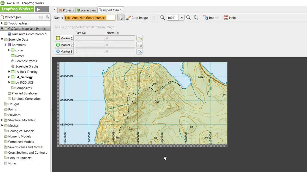
1:23 – Importing a non-georeferenced map/image using mapped coordinates
2:41 – Importing a non-georeferenced map/image without mapped coordinates, using registration markers
4:00 – Correcting errors in marker placement
Duration
4 min

See more on demand videos
VideosFind out more about Leapfrog Works
Learn moreVideo Transcript
The video transcript gets copy and pasted here