


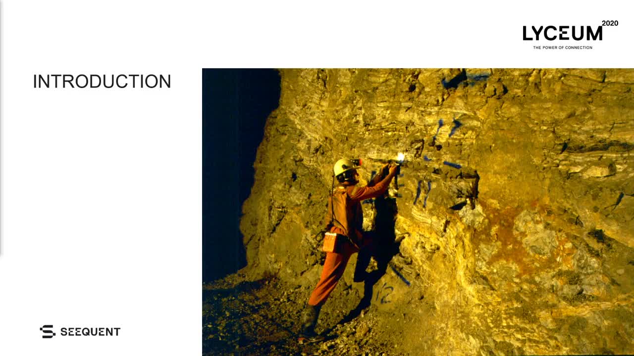
Implementing photogrammetry into dynamic grade control workflows at the Waihi gold mine.
Emerging technologies are a constant challenge to integrate into production geology workflows. The large volumes of data generated and the requirement for data to be analysed immediately can hinder technological advances.
Ore control processes at Waihi are now using new developments in the field of photogrammetry and grade control modelling to produce higher quality and improved geological interpretations. Add the ability to modify these interpretations immediately after data capture and the results are better geological models, with direct production benefits.
Overview
Speakers
Abe Whaanga
Senior Geologist – OceanaGold
Duration
11 min
See more on demand videos
VideosFind out more about Seequent's mining solution
Learn moreVideo Transcript
[00:00:19.320]
<v Presenter>Imagine this situation.</v>
[00:00:21.340]
You’re underground at the 843 Northern Drive.
[00:00:25.160]
You just spent the last 30 minutes washing down the heading,
[00:00:28.120]
service crew pull back the vent view,
[00:00:29.710]
so that you’re soaking wet and stinking hot.
[00:00:33.320]
You pull out your paper map and proceed to draw.
[00:00:36.940]
The pencil smudges as the sweat drips off your nose.
[00:00:40.000]
And you start to reconstruct the timing relationship,
[00:00:42.410]
of vein A over vein B.
[00:00:45.730]
Now is that kind of clay start striking on nine five and
[00:00:48.210]
dipping 43 or not.
[00:00:50.870]
Oh, wait, is that the radio?
[00:00:52.450]
A copy geo? chakra is here.
[00:00:55.400]
You done yet?
[00:00:57.150]
This is a situation that is
[00:00:59.300]
quite common at many underground mines.
[00:01:03.610]
So I’m here to talk to you about how the Waihi
[00:01:06.060]
goldmine we’ve been using photogrammetry to give our
[00:01:08.850]
geologists more quality time to look at rocks.
[00:01:13.712]
We’ll go through a bit of an introduction.
[00:01:16.660]
I’ll show you the Waihi location.
[00:01:19.730]
I’m going to talk about the tradition traditional mapping
[00:01:22.250]
approach that we previously used.
[00:01:25.330]
I’ll explain how we’ve been using photogrammetry
[00:01:27.230]
for grade control modeling
[00:01:29.240]
and how we’ve been integrating leapfrog
[00:01:31.660]
into our current production process.
[00:01:35.690]
And then we’re going to draw some conclusions at the end.
[00:01:44.120]
Common discussion these days
[00:01:45.360]
is how geologists to spending more time in front
[00:01:47.270]
of computers and less time looking at rocks.
[00:01:50.380]
I want to share with you a way to use excellent 3D
[00:01:52.530]
technology to enable geologists more time to spend looking
[00:01:55.150]
at rocks, not less.
[00:01:58.580]
Photogrammetry technology has
[00:01:59.680]
been around for several years now.
[00:02:02.260]
A number of companies
[00:02:03.093]
supply quality offerings with specialists,
[00:02:04.920]
capturing equipment and software.
[00:02:07.920]
The challenge from a production perspective is how to
[00:02:10.340]
integrate these often costly
[00:02:11.620]
technologies into existing workflows
[00:02:14.360]
and to justify the extra expense.
[00:02:17.440]
At waihi we have a case study
[00:02:18.840]
that demonstrates it easy entry point into
[00:02:20.870]
the market for a low cost without the use of bespoke
[00:02:23.960]
equipment and requiring no special skills using edgy SOX
[00:02:27.660]
administrative software and off the shelf
[00:02:29.970]
photogrammetric package.
[00:02:35.400]
Waihi is a well-known epithermal deposit situated at the
[00:02:38.830]
base of the Coromandel Peninsula.
[00:02:41.460]
The oil bodies lies lie directly beneath
[00:02:43.010]
into the east of the town.
[00:02:45.410]
The aura’s hosted an early Miocene the Pleistocene and site,
[00:02:48.560]
and it strikes mainly north west to north east.
[00:02:55.360]
The mapping approach that we previously used
[00:02:57.250]
was a scale paper map.
[00:02:59.340]
With vein wire frames diamond drilling
[00:03:01.420]
and a survey pickup of the drives above and below.
[00:03:05.760]
The next cut is sketched on with estimated vein positions,
[00:03:09.330]
hanging wall in foot wall contacts that painted up and picked
[00:03:11.670]
up by survey.
[00:03:14.550]
All this is transferred to a 2D plan and Vulcan on the
[00:03:16.970]
surface using or contact pickups.
[00:03:25.330]
Sample channels and or face context are generated in section
[00:03:28.428]
view.
[00:03:30.100]
Survey picks up so one and three cuts,
[00:03:32.000]
so vein contacts are and plan are continuous,
[00:03:36.250]
with sectional face lines every third cut.
[00:03:39.690]
Vein orientation, scale, dip
[00:03:41.490]
and geometry can be difficult to accurately represent in the
[00:03:44.630]
underground environment,
[00:03:46.150]
even for experienced geologists.
[00:03:49.020]
Production time pressures
[00:03:50.120]
and limited physical access to structures and the backs and
[00:03:52.900]
under unsupported ground exacerbate the problems.
[00:03:56.980]
The resource geologists constructing the model will spend a
[00:03:59.400]
significant amount of time reinterpreting the data,
[00:04:02.430]
attempting to link structures and veins together whose
[00:04:04.590]
significance may have been missed at the point of capture.
[00:04:08.700]
Remapping of Baxter’s often
[00:04:10.070]
requested to clarify complex areas.
[00:04:13.040]
And once the face has taken 2D
[00:04:15.270]
digital photos and sketches cannot be recaptured.
[00:04:19.750]
The position of faces is generated from a laser bearing and
[00:04:22.460]
offset and channels often require multiple adjustments to
[00:04:26.680]
correctly fit the back mapping.
[00:04:31.040]
The mining software providers have all developed solutions
[00:04:33.730]
to automate the registering of face sketches and 2D
[00:04:36.160]
photographs underground with many good 2D digital mapping
[00:04:39.500]
programs out there.
[00:04:41.660]
However, in this 3D world,
[00:04:43.700]
we’ve still being limited to generating geological models
[00:04:46.260]
from 2D sectional and plan interpretations.
[00:04:52.190]
Photogrammetric 3D scans provide a solution that resolve
[00:04:55.320]
these issues whilst generating a highly detailed
[00:04:59.280]
permanent photographic spatial record
[00:05:02.020]
similar to a core photo library.
[00:05:05.670]
Headings or flying through the geology
[00:05:07.030]
mistakes have almost been eliminated.
[00:05:09.820]
Within one hour of reaching the surface
[00:05:11.750]
cut directions in vein positions
[00:05:13.400]
can be reviewed and high resolution 3D with all
[00:05:16.350]
supporting information prior to cuts
[00:05:18.430]
even being bored.
[00:05:20.320]
Cut sheets can be modified or headings held
[00:05:22.560]
for re markup saving time and money with reduced stripping
[00:05:26.040]
and ground support costs to get headings back online.
[00:05:30.070]
Conflicting vein positions are eliminated between the
[00:05:32.560]
correlation of 2D face sketches and 2D survey pickups and
[00:05:36.440]
back mapping.
[00:05:38.220]
All discussion revolves around the interpretation rather
[00:05:41.076]
than uncertain spatial orientation.
[00:05:45.110]
Rework, remapping, channel,
[00:05:47.323]
face sketch remapping adjustments are almost completely
[00:05:49.980]
eliminated for huge time-savings.
[00:05:52.620]
Painted cut directions are
[00:05:53.750]
preserved and are used as a re-education tool for why would
[00:05:56.810]
Jumbo operators and foreman that swear black and blue
[00:06:00.090]
that was the geology mock-up that
[00:06:01.420]
caused the headings to go offline.
[00:06:04.690]
And the key to all of this is that the geologist is able to
[00:06:07.760]
sketch directly onto the photos underground at the heading,
[00:06:12.520]
taking the time to capture geological and structural details
[00:06:15.710]
and relationships and not agonizing over special positioning
[00:06:19.470]
or doing the geological interpretive dance front of measure
[00:06:22.450]
structures that can’t be accessed.
[00:06:27.200]
No tripod or external lights are required for capture.
[00:06:30.770]
We use a digital SLR with an external flash.
[00:06:35.090]
The photos require roughly a 50% overlap
[00:06:38.400]
and need to be taken orthogonal to the face.
[00:06:41.760]
A wide angle lens is best for sufficient coverage
[00:06:45.130]
and the photo positions do not need to be surveyed.
[00:06:47.940]
All of the camera settings are kept the same on the camera
[00:06:50.910]
and good quality images can be
[00:06:52.320]
achieved with machinery in the way.
[00:06:54.260]
And also with headings that haven’t even been bogged yet.
[00:06:59.730]
The images are transferred from the camera to the tablet or
[00:07:02.190]
a wifi hotspot,
[00:07:03.700]
and they’re processed in real time to enable the geologists
[00:07:06.510]
to sketch directly onto the photos in 2D,
[00:07:09.490]
with the polylines reconstructed
[00:07:10.980]
in 3D on the surface.
[00:07:13.750]
The whole process is scripted and Python giving custom menus
[00:07:16.650]
and reducing button clicks.
[00:07:19.450]
And Psychoshock and headings are no longer an issue
[00:07:21.780]
with near continuous coverage of backs and walls,
[00:07:24.210]
reconstructing 3D and highly accurate.
[00:07:29.530]
Task automation,
[00:07:30.850]
fast computers and cheap
[00:07:31.890]
data storage means easy management
[00:07:34.150]
of raw data through to the final exported scan.
[00:07:37.400]
Streamlined and customized
[00:07:38.720]
workflows require minimal operator input.
[00:07:41.650]
This whole process is run by mine technicians.
[00:07:44.640]
These are great guys with no university education or
[00:07:47.070]
computing background.
[00:07:51.490]
We use the Leapfrog Geo to generate a geological model.
[00:07:54.700]
Foot wall and hanging wall vein contacts
[00:07:56.220]
are digitized onto the mesh
[00:07:57.890]
with channels into are selected.
[00:08:00.140]
Wire frames can be dynamically updated
[00:08:01.890]
by the mine geologist cut by cut,
[00:08:03.820]
giving them input into the modeling process
[00:08:06.500]
and allowing them to see
[00:08:07.530]
the result of alternative
[00:08:09.260]
interpretations as the drives advance.
[00:08:15.500]
With the traditional grade control process.
[00:08:18.030]
Geological model are created by project geologist at
[00:08:20.400]
the completion of the data collection stage.
[00:08:23.640]
The wire farming process is closed
[00:08:25.210]
off at a set date to allow
[00:08:26.980]
time to complete the estimation process.
[00:08:30.730]
Issues identified at earlier stages
[00:08:32.490]
or the addition of new data requires
[00:08:33.990]
the whole process to be started again.
[00:08:37.000]
Alternate interpretations are only explored if time allows
[00:08:40.160]
and in a limited fashion with the introduction of Seequent
[00:08:43.680]
Central, geological and grade control models are created
[00:08:47.200]
dynamically linked and saved to separate branches.
[00:08:50.730]
project geologist are able to work
[00:08:52.540]
on the grade control model and mine
[00:08:54.110]
geologists on the geological model simultaneously.
[00:08:57.910]
This allows for a linear modeling workflow with continual
[00:09:01.450]
review and feedback.
[00:09:02.840]
The introduction of new data can occur right up to the end
[00:09:05.130]
of the model due date,
[00:09:06.550]
with data collection validation and
[00:09:08.530]
alternate interpretation and review happening incrementally.
[00:09:14.110]
Dynamically updating models for great control has been a
[00:09:16.360]
game changer.
[00:09:17.990]
The ability to have a model validated,
[00:09:20.160]
estimated and reviewed whilst waiting for the last channel
[00:09:22.980]
results to be returned has reduced model turnaround time
[00:09:25.780]
from days to hours.
[00:09:28.100]
Estimates on individual domains have vastly improved by
[00:09:30.960]
being able to evaluate the effects on model parameter
[00:09:33.440]
changes in real time and 3D.
[00:09:37.180]
Demystifying the teaching process
[00:09:39.140]
of resource estimation has become
[00:09:41.140]
far easy with Edge.
[00:09:44.220]
Textbook examples and issues
[00:09:45.540]
can be reviewed graphically and simply.
[00:09:56.728]
So the lofty goal of the project was to increase or equal
[00:09:59.350]
data quality and accuracy, but decrease time at the face.
[00:10:04.200]
The entire capture process is run by geological technicians
[00:10:08.050]
with no prior computer training.
[00:10:11.770]
Underground geologists now have a wealth of information to
[00:10:14.150]
draw upon to make confident
[00:10:15.980]
informed decisions that they can back up with data.
[00:10:19.240]
Pristine washed headings are captured spatially,
[00:10:21.730]
digitally and high resolution forever.
[00:10:24.550]
Office discussions are now held
[00:10:26.000]
in front of a computer and a dominated by
[00:10:27.990]
review of the geology structural orientation and or shoot
[00:10:31.620]
formation,
[00:10:32.940]
rather than arguing about whether the heading was
[00:10:34.800]
washed down properly and picking apart the quality of
[00:10:37.290]
someone’s interpretation.
[00:10:39.880]
The importance of maximizing geologists useful and
[00:10:42.270]
productive time looking at rocks underground cannot be
[00:10:44.580]
overstated.
[00:10:46.940]
3D specially oriented high resolution data capture is
[00:10:50.960]
complimenting excellent field work,
[00:10:53.090]
and it’s definitely not replacing it.
[00:10:56.320]
Thank you.