


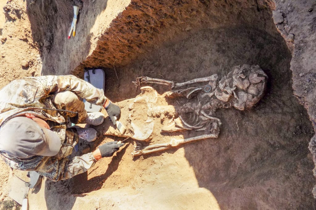
Archaeologists are experts at reading the earth as they uncover lost historical treasures, collecting information about how we lived and understanding the past. Now, archaeologists can learn even more from the earth, using geoscience.
Soil secrets
Soil harbors a myriad of secrets, but that’s no mystery to archaeologists. For decades, archaeologists have been using geoscience methods and best practices — and as technology advances, the wealth of archaeological data only grows. In addition to the more common soil contents, such as pottery and bone, soil can hold other priceless information on human and animal migration patterns, dietary variance, unusual weather events and how they affected plant growth and health, and much more.
Geoscience can help archaeologists prospect for unexplored archaeological sites, using tactics such as ground penetrating radar; magnetic methods; air surveys using drones or larger, traditional aircraft; space satellites, and other methods. Sites that seem like good prospects but for which permission to explore has been difficult to obtain now have a larger pool of convincing data.
How people lived, or didn’t
One of the most controversial ancient sites is Atlantis. Experts and armchair theorists alike have difficulty agreeing on Atlantis’ existence, its location, and even the event that supposedly hid it from view for thousands of years. Geoscience can’t yet end the Atlantis debate, but it can deeply explore other archaeological sites and collect data that informs our understanding of how each site was used, when, and sometimes even by whom.
In Turkey, ground magnetic surveys proved indispensable in studying the Middle Bronze Age in Anatolia — where tight funding and proximity to known archaeological sites created an environment that needed to be explored, but more data was needed to define the site’s perimeter.
Nature’s terrifying power
One archaeological challenge is large-scale soil layer disturbance, which can happen during seismic events, hurricanes, tornadoes, or tsunamis, as well as from large-scale freezing, flooding, landslides, or sinkholes.
Sea level change alone has dramatically affected human populations, especially close to oceans, for as long as there have been archaeological records. In the last glaciation period that ended roughly 11,000 years ago, the archaeological record shows major land changes. Marine environments evolved into terrestrially rich landscapes that were more attractive to humans, where prehistoric peoples could hunt, gather, and expand.
Migration, weather, settling down
In the Netherlands, scientists have been exploring how prehistoric communities prepared for and mitigated damage from climate change and natural disasters. The Netherlands Journal of Geosciences details that “quaternary geology is increasingly applied to gain insight in the landscape development and environmental setting where people have lived in the past. Above this, predictive models can be improved by the interaction of archaeological and geological/palaeogeographical research.”
Archaeologists and geoscientists agree that geoscience is a precious and powerful resource for archaeology. In addition to being indispensable for identifying new sites and site parameters, mapping soil strata, and keeping track of countless data points, geoscience can help archaeologists manage costs.
Geoscience can also help rewrite history. Off the coast of Cape Town, South Africa, a Dutch slave ship’s remains have drifted into a sand bank. Despite now being stripped of all useful items and human remains, the ship’s rare design and historical significance still make it a rich historic record. And in October of 2018, archaeologists discovered that we’ve had the wrong date for Mount Vesuvius’ eruption, which famously buried Pompeii in tons of ash in A.D. 79. Graffiti recently uncovered proves that the eruption occurred sometime after October 17, not on August 24 as previously thought.
The earth is far from finished giving up its secrets, and advances in geoscience continue to support these efforts. Advances are ultimately only as good as their data can back up, and that’s where Geosoft comes in.