


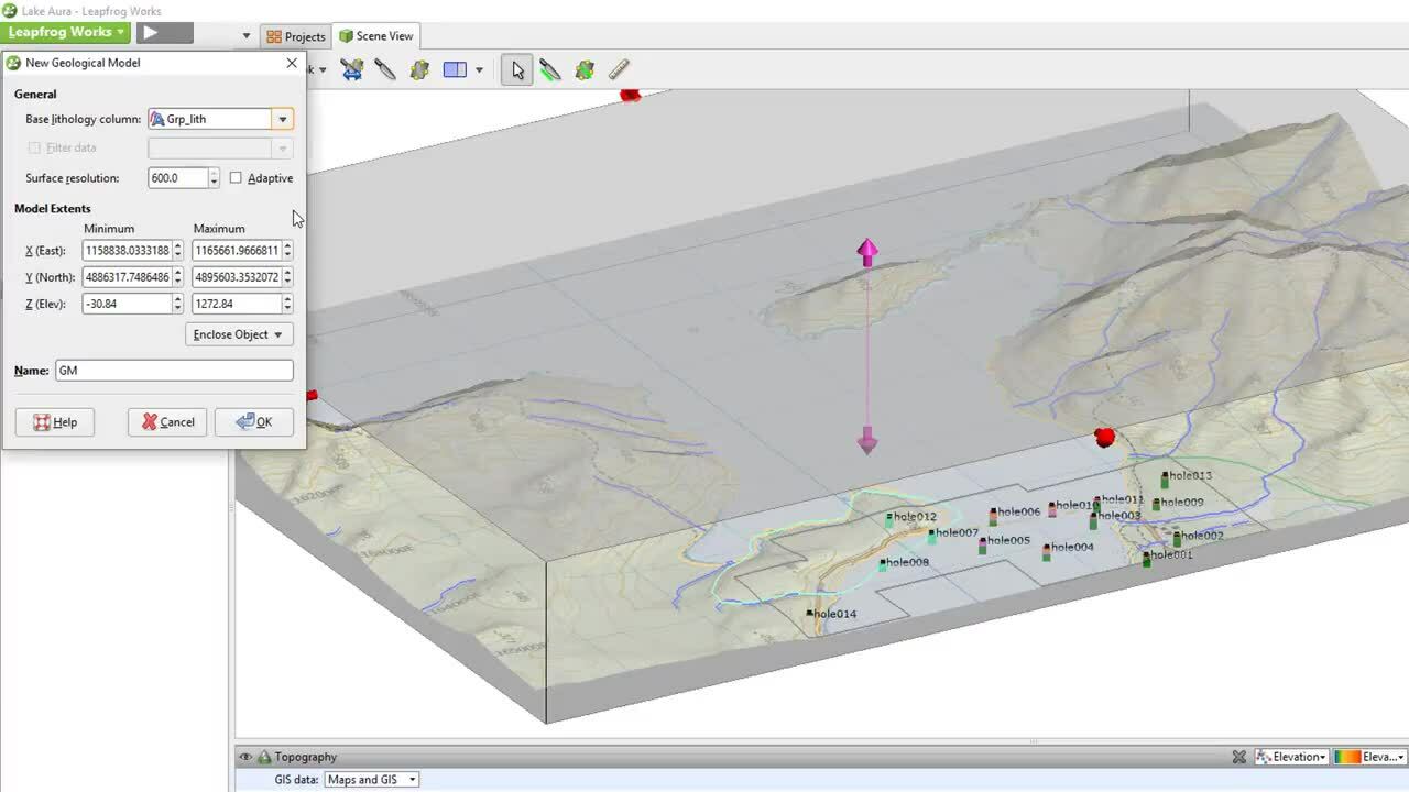
In this video, we will discuss importing data for and creating a topographical surface.
0:00 Introduction to Topography surfaces in Leapfrog
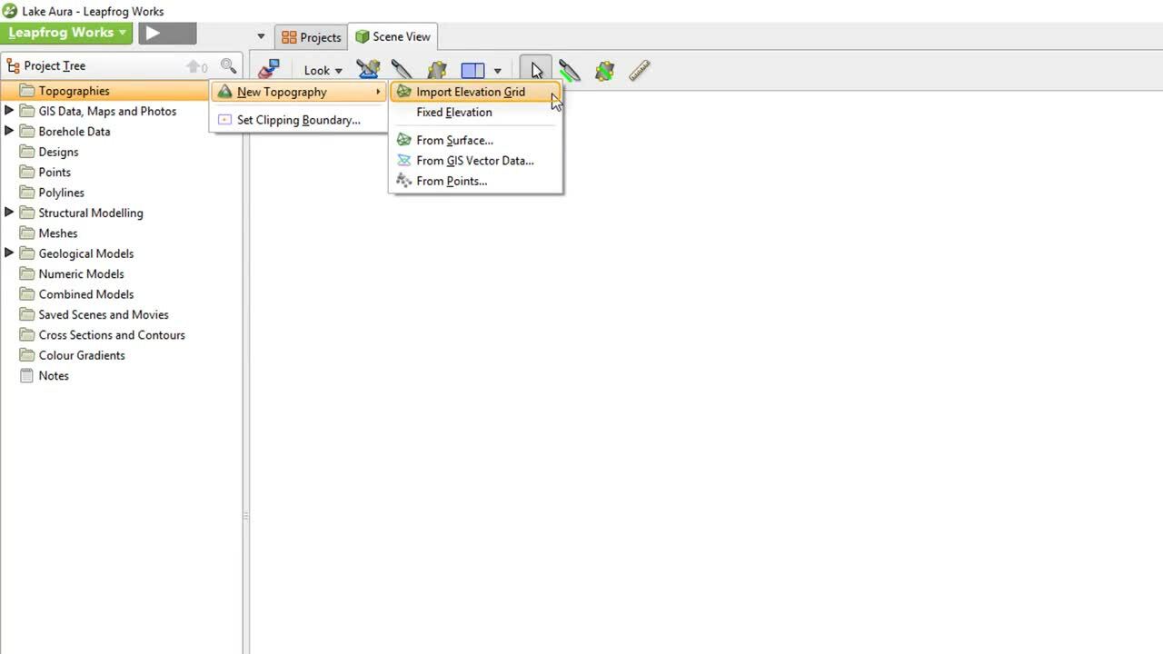
1:03 – Options for importing topography data
1:24 – Importing a digital elevation map (DEM)
1:45 – Introduction to Resolution in Leapfrog
2:27 – Topography visualisation options
2:59 – Topography/collar coordinate editing options
3:06 – Adding collar information to topography surface
3:20 – Projecting collars onto the topography surface
Duration
4 min
See more on demand videos
VideosFind out more about Leapfrog Works
Learn moreVideo Transcript
The video transcript gets copy and pasted here