


At our recent Lyceum 2020 virtual conference, we were fortunate to have a number of our partners talk about the industry questions and challenges that most interest them and how data and connectivity will address these issues in coming years. Here’s some of the most intriguing points they made, and you can watch all the sessions here.
We are in a new era of geotechnical collaboration and Cloud computing has the power to change the way we do that.
Most people look at Cloud computing as your memory, but when it becomes your brains and your memory, all sorts of cool things can happen. We can supply a single source of knowledge for your organisation and we can build up platforms that you can develop on, that other commercial applications can be connected into, that will give you a really powerful ecosystem to work with your data and work within your teams.
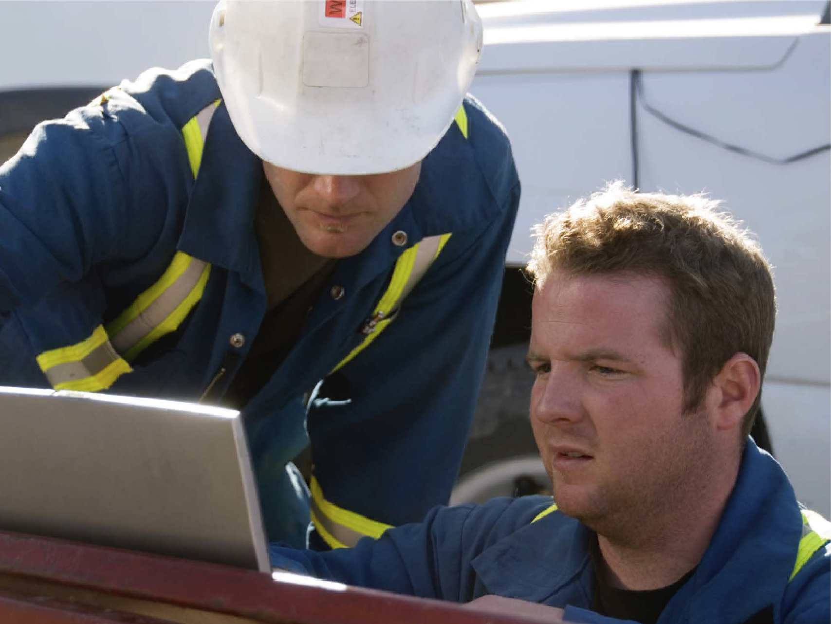
For example, in practice we have the option now to do real time monitoring and modelling as the driller or engineer is still on site. That means you don’t have to wait for the engineer to get back, type his logs up for two weeks, and then produce your model. You’ve effectively got real time integration of site collected data into your Cloud environment, available to everybody.
And lots of people are already using this connected data environment. The latest statistics from our OpenGround Cloud platform show we have two and half thousand users, with over three quarters of a million boreholes logged and 25million feet of data.
Roger Chandler
Product Director Geotechnical Information, Management at Bentley Systems.
By 2050 there will be 10 Billion people on the planet and 7 billion of them will be living in cities so we will need to make those cities smarter and more responsive to the needs of their residents.
Recently, Autodesk partnered with a firm called Statista to calculate how much work will be involved.
We’re going to have to build 13,000 buildings a day and enough roads and rail to wrap around the earth six times every year. That’s over 1.2million km of roads and rail needed for our global infrastructure each and every year between now and 2050. That’s just on the surface. Below the ground there’s also the need to build 2,600 km of utilities every day.
Demand for daily construction productivity requires immense spending and we come up short by 1 trillion dollars annually, but we can work smarter by implementing a BIM process.
So, how does technology play a role in this? Technology allows architects, engineers, and constructors to design and build better and smarter things. It is evolving the process of making so that the very act of designing and building is beginning to look a lot like the manufacturing industry.
In the future, work for our industry is going to be much more simulated. Humans are going to review designs and practise assembling construction projects in a virtual environment before stepping onto a job site.
We are also going to use computers to automate tedious and repetitive tasks. Software will explore design options for us, and we will select the options that best fit our criteria and human needs.
All of these changes, simulation, virtual reality, generative design and more, will help automate work in our industry and make us more productive and overcome the challenge of workforce scarcity.
Eric Desrouche
Senior Strategy Manager Infrastructure, Autodesk
Should everyone be able to do a statistical model or should that be left to the experts?
In a perfect world, the only requirements for building a model should be to understand the geology. Unfortunately, that’s not the case today. I think we are expecting too much geostatistical knowledge from the users. When properly assisted by technology, users should not have to understand the nuts and bolts of our algorithms. The focus should be on when to use it and how to understand the results. We spend too many hours and even days manually fidgeting with parameters and results. Instead, we should spend that time critically assessing the output and thinking about the problem.
I choose to be a geostatistician. I love the mixture of mathematics, computers and earth science, but I also know that I am the exception and for geologists and engineers this is just a step towards a goal.”
Alexandre Boucher
Founder, Advanced Resources and Risk, Technology, LLC
Our simple goal is a single source of truth putting as much of our data as possible into one place.
An Environmental Data Management System (EDMS) like EQuIS™ enables the management of many different types of data – environmental data, compliance data, operations and inspections data, and that list keeps growing.
But not only does data management have to deal with data types, it also deals with workflow.
There are many ways to get data into EDMS and we automate and digitalise all the workflows with EQuIS™ to minimise both human error and the time spent. The interesting thing here is that while some of these workflows have been automated and digitised for a long time – like reporting and data transfer field data collection and chains of custody are two areas where we are seeing digitalisation transform that part of the workflow. Even within the last few years there have been significant drives to collect and even check the data for errors on a device in the field rather than using pen and paper and having to transcribe things back in the office.
And the ability to add electronic chains of custody into that workflow helps move us on from using only paper for that last remaining piece.
Emily Mulford
Director of Training and Marketing Communications, EarthSoft