


Imagine being able to zoom in on a project area from your laptop, interrogate and extract all the exploration data that has ever been collected there, and immediately begin building maps and images from the information.
For Cameco’s geoscientists, this is no longer a dream but a reality. Cameco recently launched its Geospatial Envision Technology & Information Transfer (GET-IT) System, a web interface for exploration and land management data, in Australia. The North American launch will take place in April.
“Most people didn’t think it could be done, and were surprised when GET-IT was actually delivered,” says Mike McClelland, Cameco’s director of land tenure and geospatial information “But everyone agrees this is where we should be. Exploration is spatial, and the fact that we have been stuck in contextual search mode has been limiting.” He adds that GET-IT wouldn’t have been possible without the openness of the business, not only corporate but end users, to change and innovation.
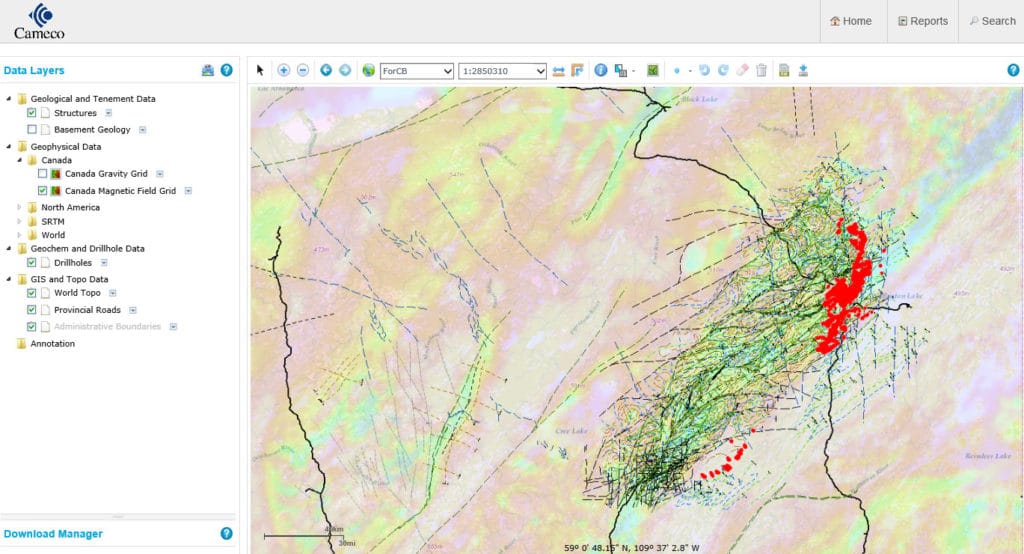
GET-IT provides a single web interface to data managed by servers including SDE (GIS) Leasecontrol (agreement, land and permit management), Sharepoint (documents) Geosoft DAP (imagery and geophysical data) and acQuire (drillholes and geochemical data). Geoscientists, management and other permitted users can access the GET-IT system via a web browser and then search, preview, interrogate, and extract data from the connected servers and make use of simple map-making capabilities.
Cameco’s journey from searching for information in scattered folders to the forefront of on-demand exploration data delivery was a huge undertaking that required company-wide collaboration, standardizing data in the same formats for all of Cameco’s global projects, and cleansing bad data. McClelland estimates that about 45-64%, or 4.4 terabytes, of Cameco’s data folders were either duplicated or obsolete.
But the anticipated reward is a data management system so efficient that Cameco’s geoscientists will be able to spend an extra day per week looking for mines rather than searching for data.
As a key component of GET-IT, Geosoft’s DAP server stores the company’s geophysical data consisting of 650 surveys ranging from seismic to airborne EM. Cameco also makes extensive use of Geosoft exploration applications for data interpretation, presentation and modelling, including Target for 3D geology and VOXI Earth Modelling for geophysical inversion.
“We found a partner in Geosoft, who helped us develop and implement GET-IT,” says McClelland. “They delivered on the technology and services. I was confident that they had the right experience and a pulse on where the industry is moving. They were also clear on what could and could not be achieved.”
“More than that,” he continues “Geosoft took the time to understand our business requirements and they continue to learn with us. It’s a long term relationship, and we’re equally vested in making this the best experience it can be for data consumers.”
McClelland is continuing the drive towards centralization and virtualization now that GET-IT has been launched. He envisions Cameco moving all of its geoscience information, processing and communication into the cloud by 2017 providing a user experience that’s similar to Microsoft’s Office 365, which has enabled access to Office applications, including web conferencing, over the Internet.