


Complex projects involve many stakeholders who all need timely, accurate information to make project decisions and manage risk. Peter Fair and Tom Critchfield of Mott MacDonald have shared some insights about working on major infrastructure projects in the UK and Singapore.
1. Reducing risk and cost
Slow communication of geotechnical risk accounts for a large percentage of project delays, costing projects millions. Research from the National Audit Office in the UK has shown that delays of over a month on commercial
projects are caused by ground risk at least 50% of the time.
2. Clear decisions trails
When a geological model supports integration with design, the resulting visual composite enables experts to identify data gaps and rapidly assess new project risks. On the North-South Corridor project in Singapore, Tom Critchfield notes that this visual integration was critical to helping the client understand the complexity and scope of the project and how the geology impacted design decisions.
3. Optimised designs
Well-communicated, accessible geological data helps design teams assess feasibility and optimise engineering decisions, potentially saving millions in construction costs.
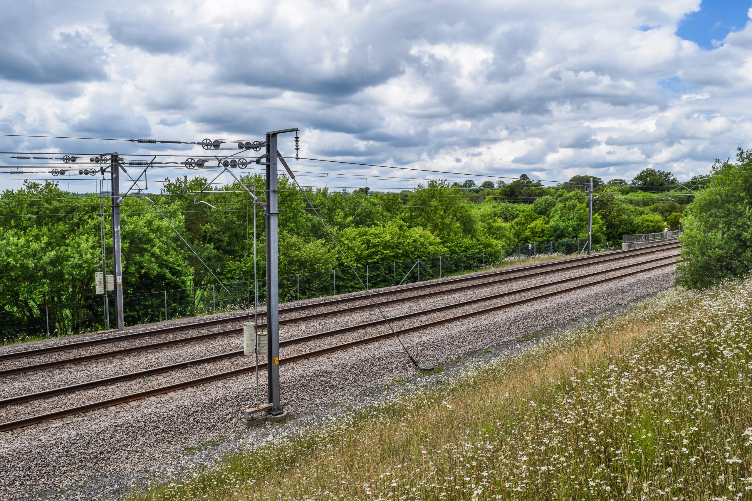
At a particularly difficult part of the HS2 high speed rail project in the
UK, the geological data revealed some tricky areas around water levels and local abstraction wells. Peter Fair explained that early designs included complex deep cuttings to avoid these constraints, but as new geological data became available, the design engineers were able to develop a simpler solution at lower cost.
4. Getting the whole asset picture
Connected data supports better practices across the whole asset construction lifecycle, from initial geological models to the as-built result. On the HS2 project, Peter plans to incorporate data about extracted earthworks volumes, include photos of faults, add construction records such as testing and as-built information, and make all this available in the one model to the teams who will look after the asset in future.
5. Communication of change
Geological ground models keep changing as new data is collected and added. During the project construction phase, the validity of the data is continuously tested against reality. On a complex project like the Singapore corridor, which tunnels under residential and commercial buildings, ground monitoring of excavations is especially critical and enables experts like Tom to holistically assess the ground conditions and update the model accordingly. Where the reality differs from the expected conditions, Tom can communicate immediately to stakeholders, such as the geotechnical designers.