


Climate change, growing water demands, and manipulation of natural hydrologic systems have led to saltwater intrusion being considered a significant threat to future fresh water resources globally.1
The Situation
Saltwater intrusion occurs when too much groundwater is pumped from coastal aquifers, upsetting the subterranean balance between inland freshwater and the relentless ocean.
Water moves through the ground, from high elevation to low, as it does in rivers. At the margin of a coastal aquifer, freshwater and saltwater mix, and when the rate of groundwater pumping increases, the equilibrium shifts.
As aquifer levels drop, the saltier water trickles in, filling the gaps in the sandy soil where fresh water used to be.
While this process has been observed throughout the world for over a century, climate change, growing water demands, and manipulation of natural hydrologic systems have led to saltwater intrusion being considered a significant threat to future freshwater resources globally.
“Saltwater intrusion is the biggest untold water story in the world today. It’s a silent problem. It’s easy to ignore politically but it can spoil the water source for future generations.”
Ron Duncan, interim general manager, Soquel Creek Water District
The Impact
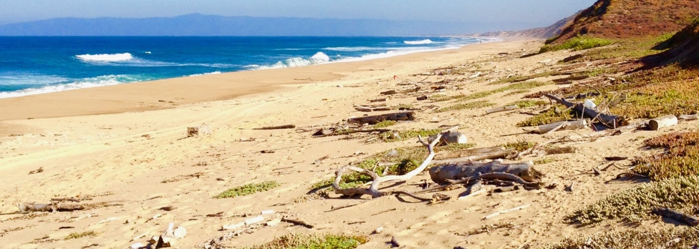
Nowhere is this problem felt more keenly than in California. The combination of groundwater and good climate has built the region into a year-round agricultural powerhouse. But farmers have drunk deeper than the basin could sustain.
The California Department of Water Resources has now designated groundwater basins in Soquel, the Pajaro Valley, and the Salinas Valley as “critical” because of saltwater intrusion. In Monterey County, the saltwater boundary, at its farthest reach, is more than 10 kilometres (6 miles) inland.
The Geology
A recent study, which included geophysicists from Stanford University have shown that the intrusion is highly variable, and heavily influenced by the complex geology of the area.
Saltwater intrusion is traditionally monitored using measurements made in wells and predictive flow models. However, well measurements have a number of drawbacks.
They may provide point data but fail to capture the spatial complexity in subsurface conditions. Salinity measurements can be flux-averaged concentrations, and head measurements are affected by the density of the water column, so can be misinterpreted in the presence of unknown saltwater. They are also susceptible to measurement, instrument and time lag errors.
Given these limitations, there is a significant opportunity for additional methods of mapping and monitoring the distribution of saltwater in the subsurface for improved management of coastal aquifers.
What could be done
Many facilities are trying to halt the intrusion. In Monterey County, a new water recycling system produces 3,700,440m3 (814 million gallons) of recycled water from industrial wastewater, farm drainage, and stormwater, for injection into the aquifer and for farm irrigation. But these facilities are expensive and the state agencies have no clear picture on the speed or seriousness of the intrusion and where they need to focus.
The Stanford research team led an electrical resistivity tomography (ERT) study1 along a 45 kilometre (28 mile) stretch of Monterey Bay coastline to determine the extent of saltwater intrusion (ERT measures the electrical conductivity of water, which is increased by salt).
The hope is that local water managers can use the findings to identify the regions most impacted and better target interventions.
Earth imaging using geophysical methods has the potential to revolutionise the approach to managing groundwater systems, say those involved with the technology. It has even been likened to the impact that medical imaging has had on human health, delivering a wealth of previously unachievable insight.
ERT can identify where geologic features are impacting the pattern of intrusion, where surface water is changing the salinity of underlying sediments, and where anthropogenic actions (such as pumping from individual wells) is causing saltwater intrusion.
It can often deliver insights not available through traditional data, or in regions where data is limited, highlight where further information could be most usefully gathered.
Such uses could greatly improve predictions and management of saltwater intrusion and should be transferable to other basins around the world impacted similarly to Monterey.
References:
1 https://www.sciencedirect.com/science/article/pii/S0022169417301154