


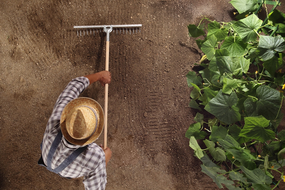
Our decisions are only as good as the data we have, and that data’s value is determined in part by how well we can manage it. Soil health is no different. Measuring and monitoring agricultural land is a constant and necessary activity. Soil health determines more than crop yield; healthy soil manages carbon distribution, the motion and behavior of waterways, the nutritional content of plants grown on it, and even fertilizer and pesticide use.
According to Geology for Global Development, “for agriculture to be sustainable, it must be done in a way that makes it possible to continue using the natural resource (the soil) over significant periods of time.” Simply put, whatever is taken out of the soil during agricultural development or other uses must be put back for the soil to remain healthy.

Data collection methods
Farmers can use a variety of methods to collect soil data in the course of supporting healthy soil. Ground penetrating radar (GPR) was adopted as a method for updating and improving USDA soil survey maps in the 1970s, significantly impacting what we know about soil health. GPR is now used to evaluate soil suitability, track soil water content, and evaluate tree and crop root biomass.
Other methods include resistivity, which measures soil’s electrical resistance, and electromagnetic induction (EMI), which measures apparent electrical conductivity. These measurements can be used to determine the physical and chemical attributes of the soil such as salinity, clay content, moisture and temperature.
Preparing for changes and accounting for challenges
Monitoring agricultural land leads to informed decisions across a wide spectrum of disciplines, from animal feed lots to golf courses.
One major impact that monitoring soil properties over time can have is in precision farming. Newer methods of data collection and analysis, in concert with software applications that bring precision and data-driven action plans into place, will continue to revolutionize agricultural applications for soil analysis. Knowing soil health over periods of time, including a deep understanding of clay content, water runoff patterns, tree root density and placement, and other factors will help us prepare as climate change continues to alter weather patterns and impact temperature and rainfall.
Geographical limitations, such as difficult terrain or long distances that require assessment, may pose challenges to evaluating and understanding the whole geoscientific story. Using modified farm equipment may prove valuable as a means for collecting data, as well as a precision distribution system for soil amendments.
How does having this data help us prepare and adapt?
Since “field crop yield variations are often strongly correlated with spatial soil fertility patterns,” say Allred et al., understanding the science behind each variable will be even more essential than in the past. Geology for Global Development reports, “Estimates suggest that more than 50% of people rely on agriculture for their livelihood” worldwide, representing, especially in developing countries.
The still common practice of over-applying soil amendments, fertilizer, pesticides, herbicides, and so on can be as (or more) damaging as doing nothing. Therefore, we can have a significant impact on environmental safety, workload, cost, and soil health just by collecting data and making informed decisions with it.
What we learn from implementing new geoscience technologies and techniques can be utilized worldwide, ultimately providing economic stability, empowered workforces, increased food security, and sustainable farming and land use practices that benefit the entirety of the planet. Good data is an essential portion of the recipe to get there.