


The journey from ice to water seems simple. It’s a transformation even schoolchildren grasp. Yet apply it to polar ice and rising sea levels and the subject gains complexities and mysteries that stretch geoscientific research to its limits.
We talk to geophysicist Jamin Greenbaum about the exploration and analysis that plumbed the literal depths of Antarctica’s melting ice sheet, and how geoscientific discoveries there are having increasing significance for all our futures. The link between rising sea levels and melting Antarctic ice has rightly attracted increasing amounts of research and publicity in the last two decades, with the risks to life of rapid sea level rises coming into ever sharper focus.
Prior to 2008, most initiatives and studies were concentrated on West Antarctica, considered to have the more vulnerable glaciers and to be changing the most rapidly. In comparison, East Antarctica was viewed as relatively stable and of less immediate concern.
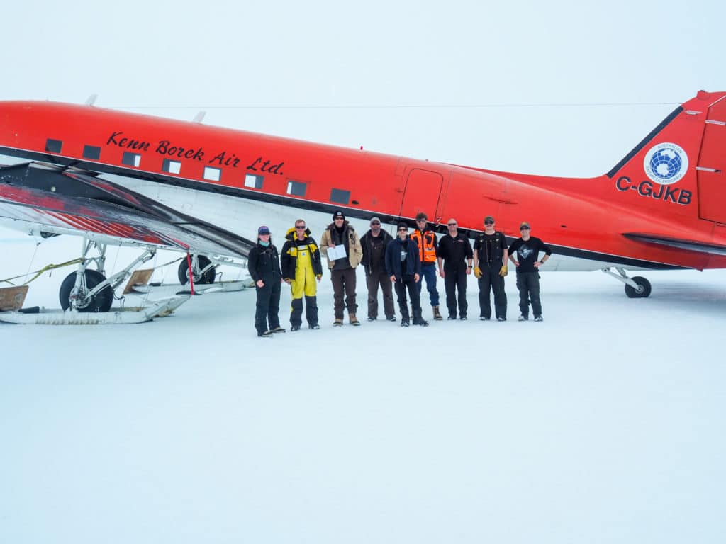
However, the International Collaborative Exploration of the Cryosphere through Airborne Profiling (ICECAP) project that has seen welcome levels of collaboration between the US, UK, Australia, France, Italy, Korea, and China, has cast doubt on that assumption. While East Antarctica may be melting less rapidly than West, the scale of the threat is far larger than anticipated as the ice contained by its glaciers holds the potential for truly dramatic rises in sea levels. The ice within just the single Totten Glacier could raise global sea levels by 3.5m on its own. That’s greater than the impact all of West Antarctica’s glaciers would have put together. Furthermore, not only is Totten the most rapidly thinning glacier in East Antarctica, but it’s melting faster than it should, and no one was entirely sure why.
Geoscience has been integral to a new and clearer understanding of this climate change puzzle.
I think one of the remarkable things about this project was that before we started working on it, this was the largest unknown area of any continent on the Earth.
Interrogating ice on a colossal scale
Jamin Greenbaum, Research Associate at the University of Texas for Geophysics, has played a key role in the Totten research and been involved in the airborne surveys tracking the shifting fate of the continent’s ice sheets. In 2015 he and the project’s international team authored a Nature Geoscience research paper that threw light on the unexpectedly rapid thinning of the glacier. Totten had been thought to be insulated from the effects of warm, deep ocean water by a shallow basement ridge. However, using airborne gravity and magnetic studies, Greenbaum revealed the existence of two deep seafloor valleys that could allow the warm water to reach the base of the glacier’s floating section and accelerate melting.
“I think one of the remarkable things about this project was that before we started working on it, this was the largest unknown area of any continent on the Earth,” recalls Greenbaum. “It was the last frontier of continental exploration, really.
“I’ve surveyed the glacier dozens of times now and I still can’t wrap my head around how big it is. It flows from the South Pole to the North, and when it reaches the grounding line, that’s when it becomes thin enough to float – and at that point it is 2km thick. The scale is just mind blowing. That’s just amazing to me.”
In presentations, Greenbaum brings this point home to audiences by illustrating how many Eiffel Towers would fit into such a depth. It’s six…
Gathering the data and drawing new models
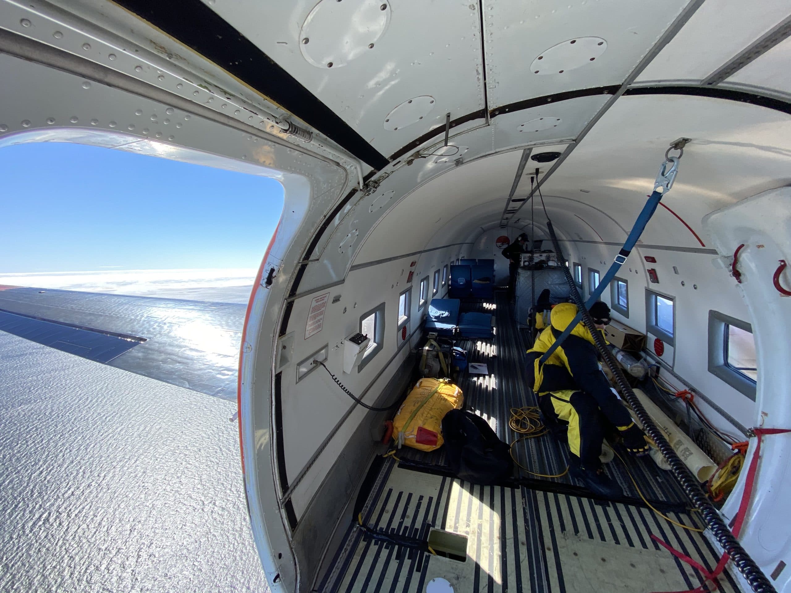
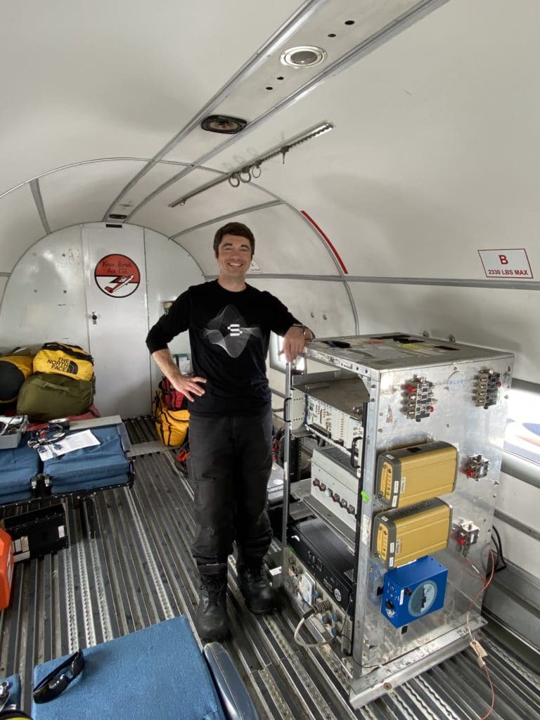
As part of the research, a BT-67 aircraft criss-crossed the glacier, packed with scientific equipment – from radar able to measure ice several kms thick, to lasers that could determine the shape and elevation of the ice surface. The flights set out to fix the ‘pole of ignorance’ that this area had become – the last major gap in Antarctic bed topography. The coastal part of the survey revealed that warm water flowing below the surface was likely melting the glacier, which would explain its rapid thinning.
But analysis of other geophysical data helped solve a further mystery. Previously, when looking back at the sea level rises indicated by geological records, physical models struggled to melt enough ice in the Antarctic to account for the increases. Solving that mismatch – as fresh analysis and a resulting paper has – is an important step. It helps buttress the argument that such increases are not just feasible, but far from extraordinary.
“There’s nothing special about the sea levels we have now,” says Greenbaum. “Six to nine metres above this level is what the Earth saw in the last interglacial period when average temperatures were about the same.” Applying the paper’s modelling to the future also shows a worst-case scenario eclipsing even the Paris climate change agreement’s fretful prediction of a 5metre rise by 2500. Instead it’s 13.6metres.
Meanwhile, separate research published by Climate Central in October indicates we may have underestimated the number of people at risk from rising sea levels in a more immediate timeline – the next 30 years. It puts the figure at 300 million, three times that originally thought to be in danger. The research re-examined a wide range of digital elevation modelling data and found a number of errors in the ground truth. These resulted in underestimates of the impact sea level rise will have on coastal areas. It also sought to address an alarming lack of accurate DEM data in various parts of the world, such as Asia, that are most likely to be affected.
International collaboration as a way forward
Using geoscience to investigate some of these major challenges for global society has been a constant driver in Greenbaum’s career. “When I was younger I was really motivated by exploration, and originally, space exploration. When I decided to go into earth science I was looking for something that had that exploration component but also took on a societal role. Today I’m certainly motivated by collecting the data we need to better predict sea-level rise, and it appears that Antarctica provides most of that sea level.”
Greenbaum also confesses to an instant love affair with Antarctica from the moment of his first survey. “It was actually ground based, driving a snowmobile around for 12 hours a day, towing radar antennas, eating beef jerky, listening to my iPod, being freezing cold. It was great. Super extreme!”
But equally important as the mysteries geoscience unpicks, is the collaborative nature of the effort. “The main reason I stayed at the University of Texas for Geophysics’ after I completed my PhD was so that I could work on this project with China and the other collaborators;
I’m such a believer in this international approach to geophysical data acquisition. It’s an example of what our nations will need to do in the next hundred years to react to climate change or other problems we encounter. It’s inspiring to work in a field such as geoscience that transcends politics and allows us all to work on a subject as important as this one.”