


In this video, we discuss:
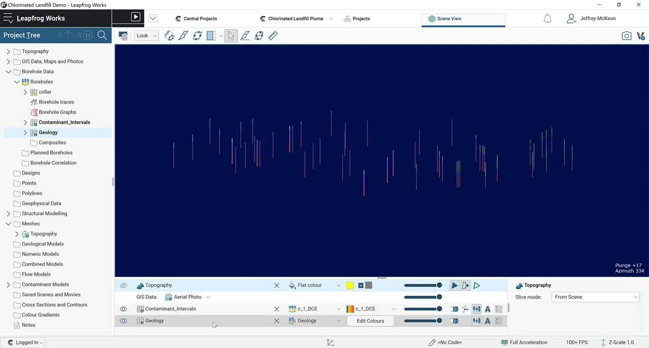
Importing Data – Import a variety of input data including a georeferenced map, GIS vector data, lithological data, contaminant data and an elevation grid
Validating Data – Data validation in Leapfrog works to standardise data types for use in the modelling process
Building the Geological Model – Build a model representing the lithological units using borehole interval data
Building a Water Table Model – Build a 3D visualisation of the water table using GIS vector data and borehole data
Overview
Speakers
Jeffrey McKeon
Project Geologist – Seequent
Duration
33 min

See more on demand videos
VideosFind out more about Leapfrog Works
Learn moreVideo Transcript
The video transcript gets copy and pasted here